Download
3D Flyover
Add to list
More
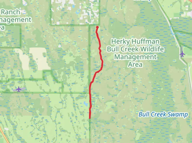
39.1 km
~2 days
18 m
Multi-Day
“Embark on the Linear Florida Trail - Prairie Lakes for a scenic, historic hike through Florida's rich ecosystems.”
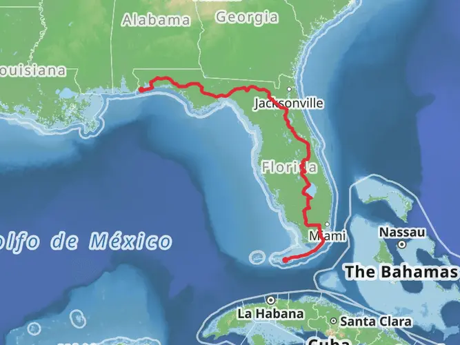
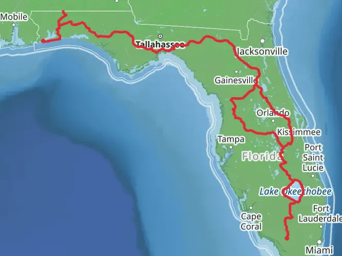
The Linear Florida Trail - Prairie Lakes stretches approximately 39 kilometers (about 24 miles) through the diverse ecosystems of central Florida, with virtually no elevation gain, making it a relatively flat hike. The trailhead is situated near Osceola County, Florida, and the trail itself is a point-to-point route, offering a medium difficulty level that should be manageable for hikers with some experience.
Getting to the Trailhead
To reach the starting point of the Linear Florida Trail - Prairie Lakes, hikers can drive to the trailhead located near the intersection of Canoe Creek Road and Hickory Tree Road, south of St. Cloud, Florida. For those relying on public transportation, options may be limited due to the trail's more remote location, so checking local transit resources for the nearest routes and schedules is advisable. Once at the trailhead, parking is typically available along the roadside.
Navigating the Trail
Hikers can utilize the HiiKER app to navigate the trail, ensuring they stay on the correct path and can anticipate what's ahead. The app provides detailed maps and waypoints that are especially useful for longer trails like this one.
Trail Experience
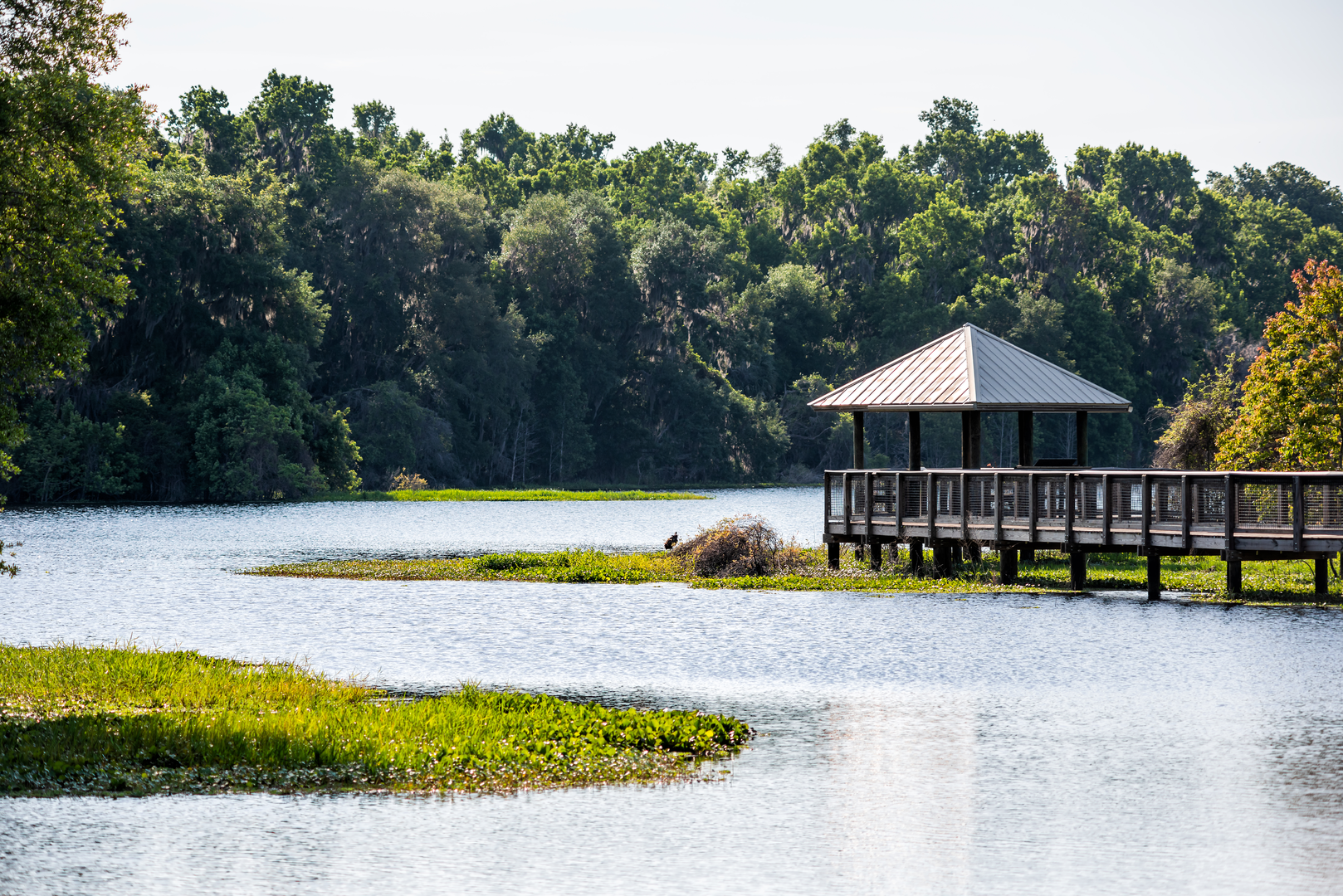
As you embark on the Linear Florida Trail - Prairie Lakes, you'll be enveloped by the natural beauty of the region. The trail meanders through a variety of landscapes, including pine flatwoods, palmetto prairies, and wetlands. These ecosystems are home to an abundance of wildlife, so keep an eye out for deer, wild turkeys, and various bird species, including the occasional bald eagle.
Landmarks and Historical Significance
One of the significant landmarks along the trail is the Prairie Lakes itself, a series of shallow lakes that are part of the larger Kissimmee Chain of Lakes. This area is steeped in history, with the lakes playing a crucial role in the waterway system used by steamboats in the 19th century to transport people and goods through central Florida.
Flora and Fauna
The trail offers a chance to witness the region's diverse plant life, including the iconic saw palmetto and longleaf pine. The wetland areas along the trail are particularly rich in biodiversity, supporting a variety of aquatic plants and wildlife.
Preparation and Safety
Given the trail's length and remote sections, hikers should come prepared with plenty of water, snacks, and a first-aid kit. Sun protection is also crucial, as some parts of the trail offer little shade. It's wise to check the weather forecast before setting out and to be prepared for the possibility of sudden showers.
Conclusion
The Linear Florida Trail - Prairie Lakes is a journey through the heart of Florida's natural landscapes, offering a glimpse into the state's rich ecosystems and history. With careful preparation and a spirit of adventure, hikers can enjoy a rewarding experience on this unique trail.

What to expect?
Activity types
Comments and Reviews
User comments, reviews and discussions about the Linear Florida Trail - Prairie Lakes, Florida.
4.5
average rating out of 5
10 rating(s)