Pike of Stickle, Thunacar Knott, High Raise, Sergeant Man and Stickle Tarn Loop
Download
Preview
Add to list
More
13.1 km
~4 hrs 10 min
934 m
Loop
“Adventure through rugged ascents, panoramic views, and historical sites on this challenging 13 km Westmorland loop.”
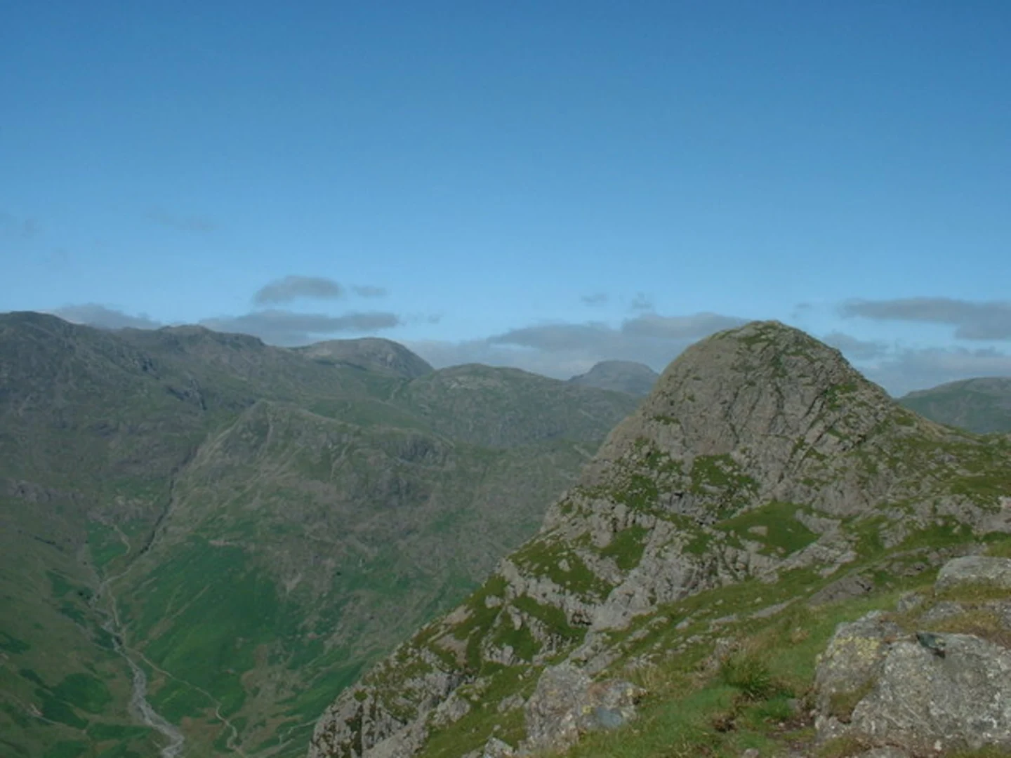
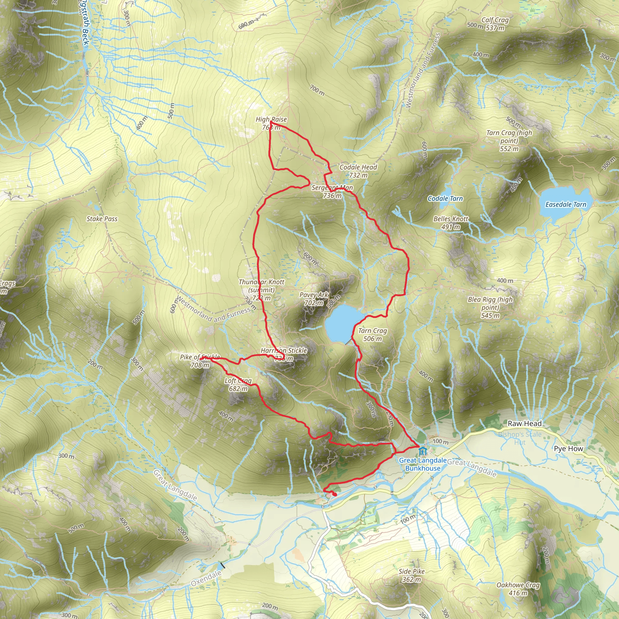
Starting your adventure near Westmorland and Furness, England, this 13 km (8 miles) loop trail offers a medium difficulty rating with an elevation gain of around 900 meters (2,950 feet). The trailhead is accessible by car, with parking available at the New Dungeon Ghyll Hotel. For those using public transport, the nearest bus stop is at the Old Dungeon Ghyll, which is a short walk from the trailhead.Initial Ascent and Pike of StickleThe hike begins with a steady climb towards Pike of Stickle. This initial ascent is quite steep, gaining approximately 300 meters (985 feet) in the first 2 km (1.2 miles). The path is rocky and can be slippery, especially after rain, so sturdy hiking boots are recommended. As you approach the summit of Pike of Stickle, you'll be rewarded with panoramic views of the Langdale Valley and the surrounding fells. This area is rich in archaeological significance, with evidence of Neolithic axe factories found in the vicinity.Thunacar Knott and High RaiseContinuing from Pike of Stickle, the trail levels out slightly as you make your way towards Thunacar Knott. This section is less strenuous, covering about 1.5 km (0.9 miles) with a moderate elevation gain of 150 meters (490 feet). Thunacar Knott offers a quieter spot to take in the scenery, with fewer crowds than the more popular summits. From here, the path to High Raise is well-marked and relatively gentle, adding another 2 km (1.2 miles) and 200 meters (655 feet) of elevation gain. High Raise is the highest point on this loop, providing 360-degree views that are particularly stunning on a clear day.Sergeant Man and Stickle TarnDescending from High Raise, the trail leads you towards Sergeant Man. This section is about 2 km (1.2 miles) and involves a descent of approximately 150 meters (490 feet) followed by a short climb. The terrain here is a mix of grassy paths and rocky outcrops. Sergeant Man is a smaller peak but offers excellent views of the surrounding fells and valleys. From Sergeant Man, the trail descends towards Stickle Tarn, a picturesque mountain lake. This descent is around 2.5 km (1.5 miles) with a drop of about 300 meters (985 feet). Stickle Tarn is an ideal spot for a rest, with clear waters and a serene atmosphere.Return to TrailheadThe final leg of the loop takes you back to the trailhead, covering approximately 3 km (1.9 miles) with a descent of 250 meters (820 feet). The path follows Stickle Ghyll, a cascading stream that adds a refreshing touch to the end of your hike. This section is well-trodden and easier to navigate, making for a pleasant conclusion to your journey.Navigation and SafetyFor navigation, it's highly recommended to use HiiKER, which provides detailed maps and real-time updates. The weather in this region can change rapidly, so always check the forecast and be prepared with appropriate clothing and gear. The trail is well-marked, but fog and low visibility can make navigation challenging, so a reliable map and compass are essential.Flora and FaunaThroughout the hike, you'll encounter a variety of flora and fauna. The lower elevations are characterized by lush woodlands, home to red squirrels and a variety of bird species. As you ascend, the landscape transitions to open moorland, where you might spot mountain hares and, if you're lucky, the occasional golden eagle soaring overhead. The area is also rich in wildflowers during the spring and summer months, adding a splash of color to the rugged terrain.This loop trail offers a blend of challenging ascents, breathtaking views, and a touch of historical intrigue, making it a rewarding experience for any hiker.
What to expect?
Activity types
Comments and Reviews
User comments, reviews and discussions about the Pike of Stickle, Thunacar Knott, High Raise, Sergeant Man and Stickle Tarn Loop, England.
5.0
average rating out of 5
7 rating(s)
