Download
Preview
Add to list
More
5.9 km
~1 hrs 17 min
69 m
Loop
“The RSPB Pulborough Brooks Loop offers a scenic, 6 km wildlife-rich hike through diverse landscapes near West Sussex.”
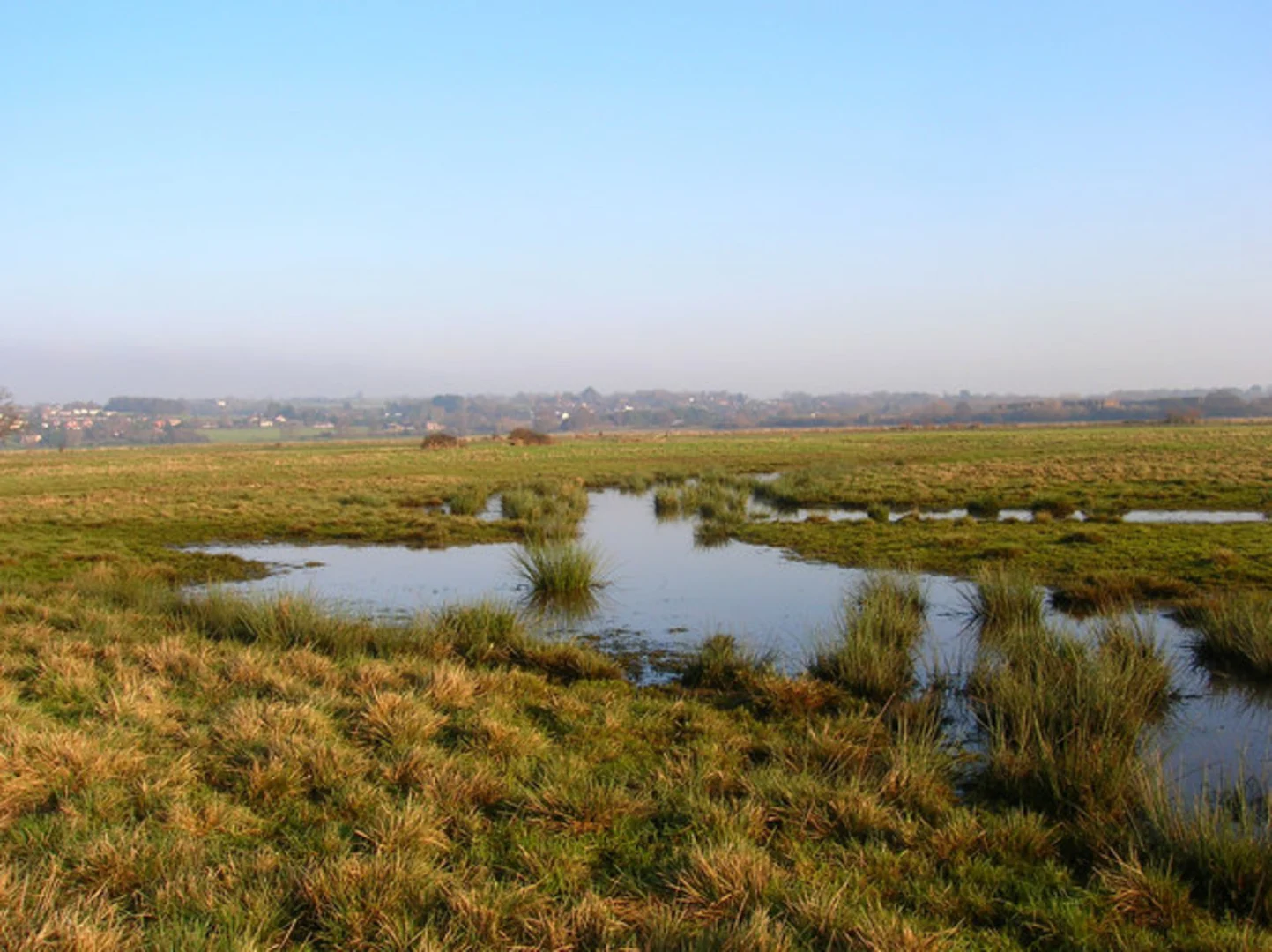
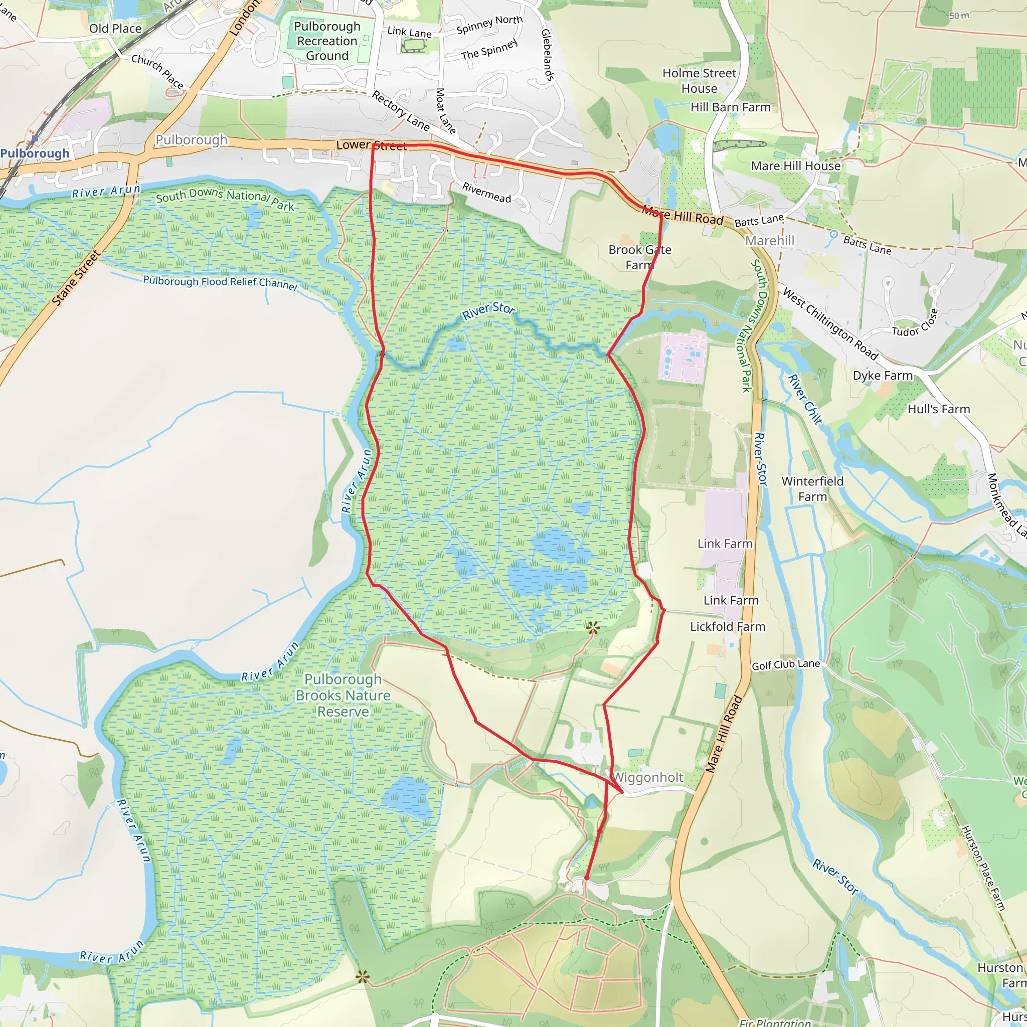
Starting near West Sussex, England, the RSPB Pulborough Brooks Loop is a delightful 6 km (approximately 3.7 miles) loop trail with no significant elevation gain, making it accessible for a wide range of hikers. The trailhead is conveniently located near the RSPB Pulborough Brooks Nature Reserve, which is easily accessible by both car and public transport. If you're driving, you can park at the reserve's car park. For those using public transport, the nearest train station is Pulborough, which is about 2 miles (3.2 km) away. From the station, you can either take a taxi or enjoy a pleasant walk to the trailhead.### Trail OverviewThe trail meanders through a variety of landscapes, including wetlands, woodlands, and open fields, offering a rich tapestry of natural beauty. The flat terrain makes it an ideal hike for families and those looking for a leisurely walk. Despite its ease, the trail is rated as Medium difficulty due to some uneven ground and potentially muddy sections, especially after rain.### Wildlife and NatureOne of the highlights of the RSPB Pulborough Brooks Loop is the abundant wildlife. The wetlands are a haven for birdwatchers, with species such as lapwings, redshanks, and various ducks frequently spotted. During the winter months, you might even catch sight of the majestic peregrine falcon. The woodlands and fields are home to deer, rabbits, and a variety of butterflies and insects, making it a paradise for nature enthusiasts.### Significant LandmarksAs you traverse the trail, you'll come across several noteworthy landmarks. About 1 km (0.6 miles) into the hike, you'll reach the Hail's Viewpoint, offering panoramic views of the Arun Valley and the South Downs. This is an excellent spot for a break and some photography. Continuing along the trail, at around the 3 km (1.9 miles) mark, you'll encounter the Little Hanger Hide, a perfect place to quietly observe the wetland birds in their natural habitat.### Historical SignificanceThe area around Pulborough Brooks has a rich history dating back to the Roman era. The nearby village of Pulborough was once an important Roman settlement, and remnants of Roman roads and buildings have been discovered in the vicinity. The landscape itself has been shaped by centuries of agricultural use, and the wetlands were historically used for grazing livestock.### Navigation and SafetyTo ensure you stay on track, it's advisable to use the HiiKER app, which provides detailed maps and real-time navigation. The trail is well-marked, but having a reliable navigation tool can enhance your experience and provide peace of mind. Wear sturdy walking boots, especially if you're hiking after a period of rain, as the ground can become quite muddy. Bring water and snacks, as there are no facilities along the trail itself, although the RSPB visitor center at the trailhead offers refreshments and restrooms.### Getting ThereIf you're driving, set your GPS to the RSPB Pulborough Brooks Nature Reserve car park. For those using public transport, take a train to Pulborough Station. From there, you can either walk the 2 miles (3.2 km) to the trailhead or take a local taxi. The walk from the station to the reserve is straightforward and follows quiet country lanes, adding an extra bit of charm to your adventure.
What to expect?
Activity types
Comments and Reviews
User comments, reviews and discussions about the RSPB Pulborough Brooks Loop, England.
4.5
average rating out of 5
6 rating(s)

