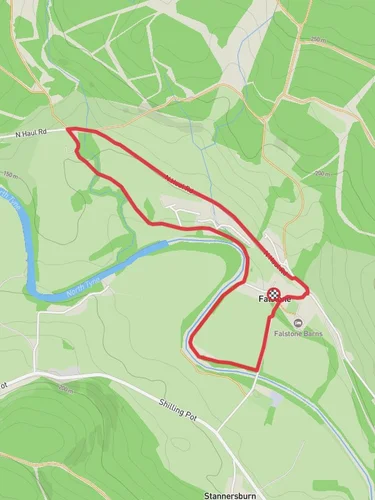
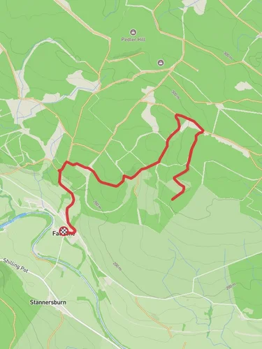
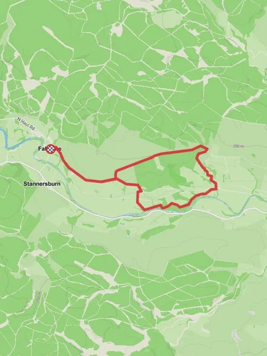
Kielder Water Shore Walk - Mouseyhaugh
2.5 km
~32 min
25 m
“Experience the tranquil beauty and historical intrigue of Kielder Water Shore Walk - Mouseyhaugh's scenic 2 km trail.”
Starting near Northumberland, England, the Kielder Water Shore Walk - Mouseyhaugh is a delightful 2 km (1.24 miles) point-to-point trail that offers a medium difficulty rating. This trail is perfect for those looking to enjoy a leisurely walk along the shores of Kielder Water, the largest man-made lake in Northern Europe.
### Getting There To reach the trailhead, you can drive or use public transport. If driving, head towards Kielder Water & Forest Park, which is well-signposted from the A68 and A69. The nearest significant landmark to the trailhead is Kielder Castle, located at Kielder, Hexham NE48 1ER, UK. For those using public transport, the nearest major town is Hexham, from where you can take a bus to Kielder Village. From the village, it's a short walk to the trailhead.
### Trail Overview The trail begins near Kielder Castle and meanders along the serene shores of Kielder Water. The path is well-maintained and mostly flat, making it accessible for hikers of various skill levels. Despite the minimal elevation gain of 0 metres, the trail offers a variety of scenic views and natural beauty.
### Landmarks and Points of Interest - Kielder Castle: Starting near this historic building, originally a hunting lodge for the Duke of Northumberland, sets a picturesque tone for your hike. - Kielder Water: As you walk along the shore, you'll be treated to stunning views of the expansive lake. The calm waters often reflect the surrounding forest, creating a tranquil atmosphere. - Wildlife: Keep an eye out for local wildlife, including red squirrels, ospreys, and various waterfowl. The area is a haven for birdwatchers, especially during migration seasons. - Art Installations: Scattered along the trail are several unique art installations that blend seamlessly with the natural environment. These pieces add an element of surprise and creativity to your hike.
### Historical Significance Kielder Water and Forest Park has a rich history, with the reservoir itself being a significant engineering feat completed in the 1980s. The area was developed to provide water to the North East of England and has since become a popular recreational destination. The surrounding forest is one of the largest man-made woodlands in Europe, planted to support the timber industry and now serving as a vital habitat for wildlife.
### Navigation and Safety For navigation, it's recommended to use the HiiKER app, which provides detailed maps and real-time updates. The trail is well-marked, but having a reliable navigation tool ensures you stay on track and can explore with confidence.
### Final Tips - Footwear: Wear sturdy walking shoes or boots, as the trail can be uneven in places. - Weather: Check the weather forecast before you go. The area can be quite exposed, so bring appropriate clothing for changing conditions. - Facilities: There are limited facilities along the trail, so bring water and snacks. Restrooms are available at Kielder Castle and other visitor centers around the lake.
Enjoy your hike along the Kielder Water Shore Walk - Mouseyhaugh, where natural beauty and historical intrigue combine to offer a memorable outdoor experience.

Reviews
User comments, reviews and discussions about the Kielder Water Shore Walk - Mouseyhaugh, England.
5.0
average rating out of 5
4 rating(s)