The best hikes in Leicestershire
England · 192 HiiKER Hikes
View Hikes on map

What to expect
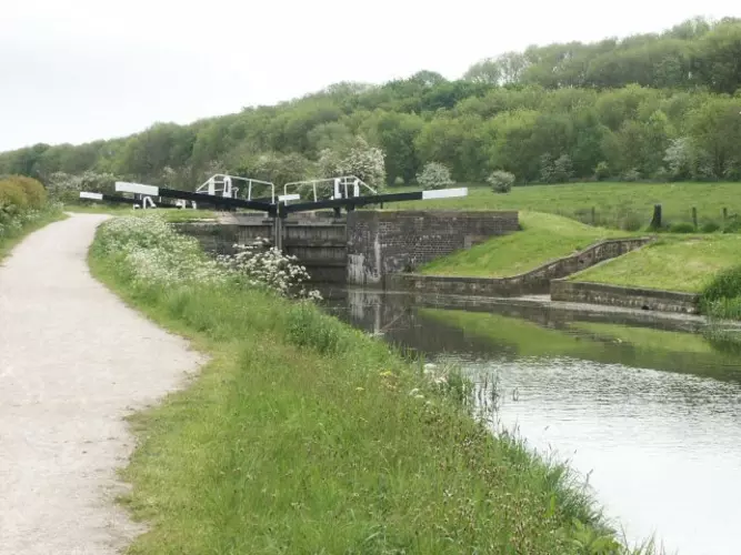
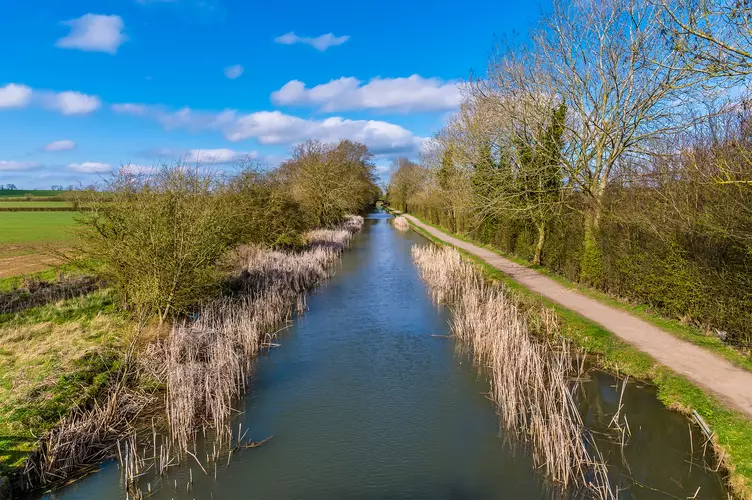
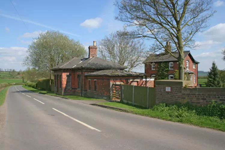
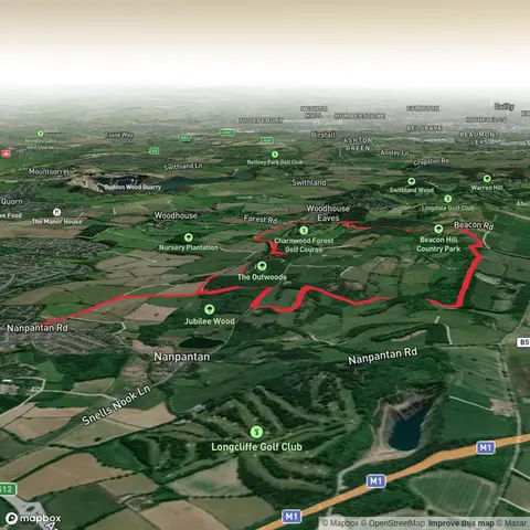
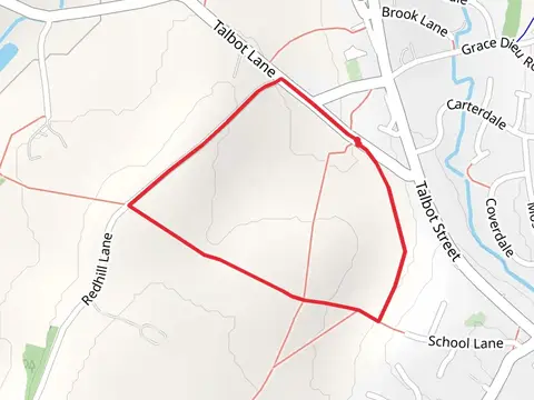
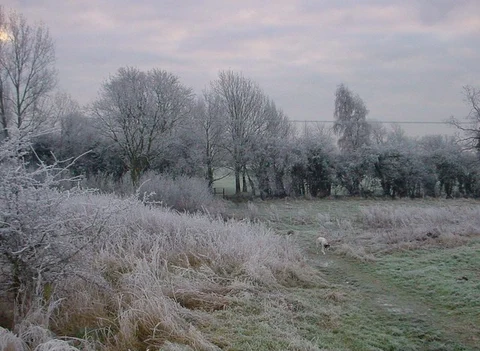
Check out some of the best hiking, walking and backpacking routes in Leicestershire, England. The Melton Loop from Nether Broughton is the most popular trail. The trails have 392 user reviews with great photos and information. There are trails of various difficulty levels including easy and medium. The trail with the highest elevation climb is the Bardon Hill from Warren Hills Road and the trail with the least amount of climbing is the Grand Union Canal from Loughborough. The longest trail is the Leicestershire Border Loop Walk at 324.4 km. For a shorter adventure you can try the Bosworth Water Park Loop at 1.3 km. Get off line access to Fastfood, Shop, Pub, and Town locations and much more with a Hiiker subscription.

Be prepared for hiking in England with the HiiKER app