Download
Preview
Add to list
More
11.3 km
~2 hrs 46 min
307 m
Loop
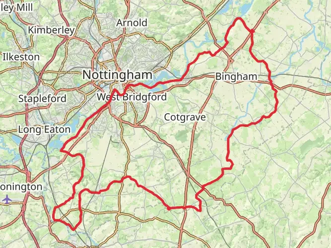
A medium circular hike of about 7 miles with moderate climbs (around 1,000 ft up and down) through the gentle countryside near Syston and East Goscote, just northeast of Leicester. Expect a mix of farmland paths, hedgerows, and village edges, with open views over rolling fields. The route starts and ends at nearly the same point, making logistics easy, and suits reasonably fit walkers looking for a half‑day outing.
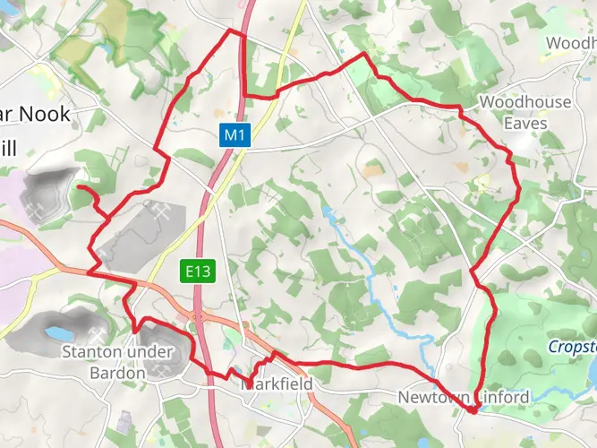
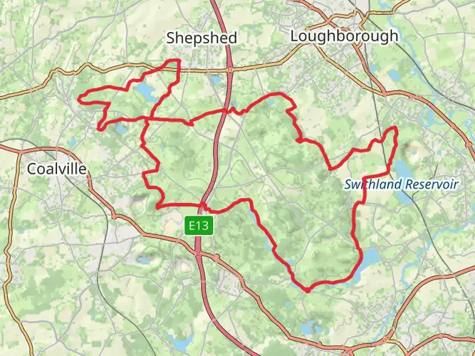
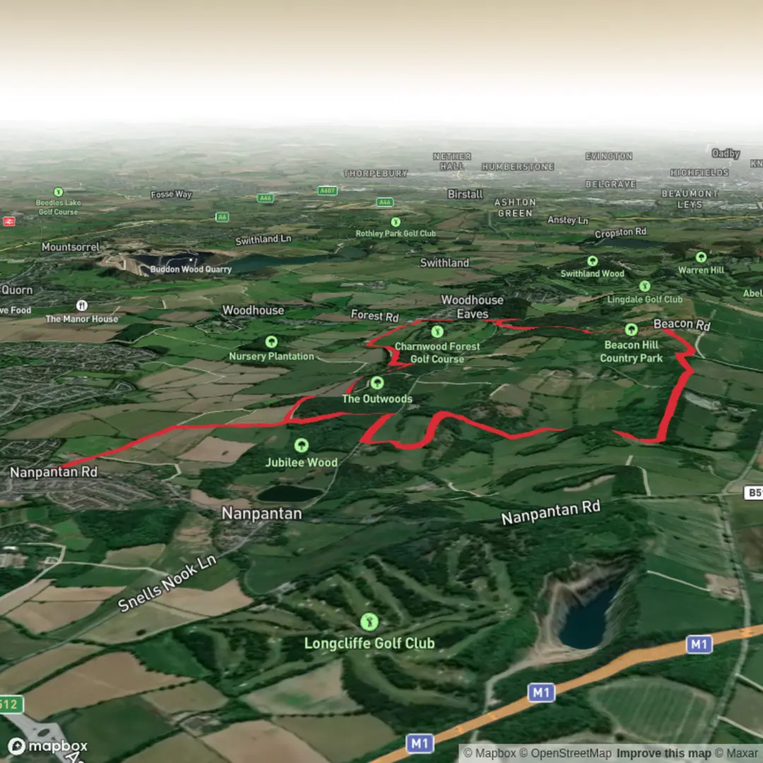
This Leicestershire walk starts from the outskirts of Loughborough and visits the county's highest point The Beacon. The summit offers fine views over a large area of Leicestershire and the East Midlands. The route takes you through The Out Woods with careful navigation and a relevant map necessary to complete the walk. For those requiring refreshments there is a convenient pub in Woodhouse Eaves village. Part of the walk crosses a narrow brook via steppingstones, please take this into account if it has been very rainy.
Free car parking is available in Watermead Lane adjacent to the start of the walk on Nanpantan Road to the southwest of Loughborough centre (SK516176).


Comments and Reviews
User comments, reviews and discussions about the Out Wood & Beacon Hill from Loughborough, England.
5.0
average rating out of 5
1 rating(s)