Lancashire to Yorkshire Historical Walk trail stages
stage 1
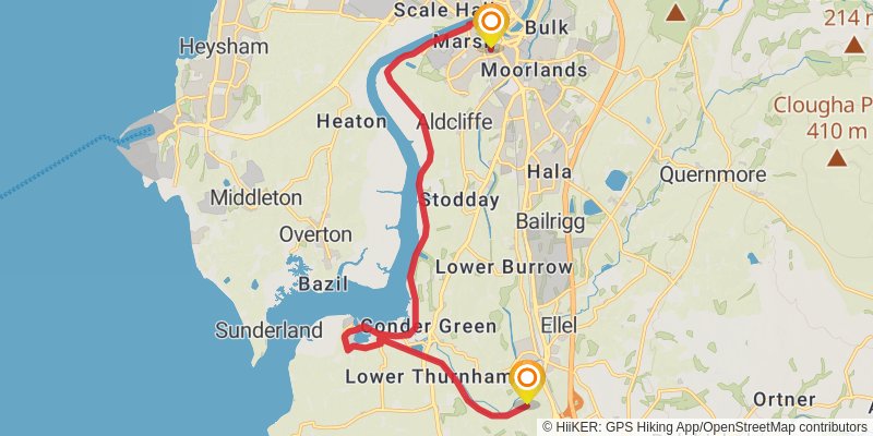
stage 2
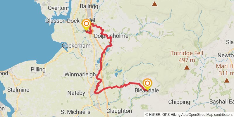
Starting at: Galgate, Lancaster, Lancashire, LA2 0LQ
Distance: 31.1 km
Elevation gain: 527 m
Duration: 07:06:15
View on mapstage 3
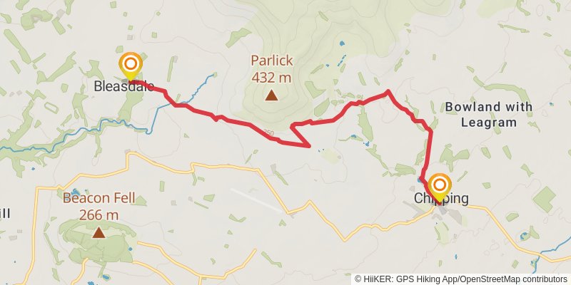
Starting at: Bleasdale, Borough of Wyre, Lancashire, PR3 1US
Ending at: Ribble Valley, Lancashire, PR3 2GD
Distance: 7.7 km
Elevation gain: 172 m
Duration: 01:49:41
View on mapstage 4
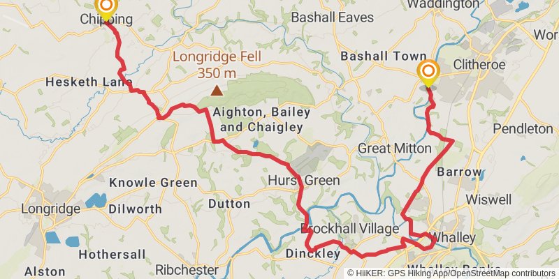
Starting at: Chipping, Ribble Valley, Lancashire, PR3 2GD
Distance: 25.4 km
Elevation gain: 407 m
Duration: 05:45:37
View on mapstage 5
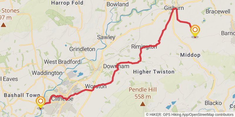
Starting at: Low Moor, Ribble Valley, Lancashire, BB7 2FG
Ending at: Borough of Pendle, Lancashire, BB7 4JH
Distance: 19.5 km
Elevation gain: 329 m
Duration: 04:27:16
View on mapstage 6
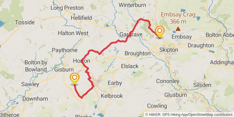
Starting at: Borough of Pendle, Lancashire, BB7 4JH
Ending at: Thorlby, North Yorkshire, BD23 1FE
Distance: 29.4 km
Elevation gain: 672 m
Duration: 06:59:28
View on mapstage 7
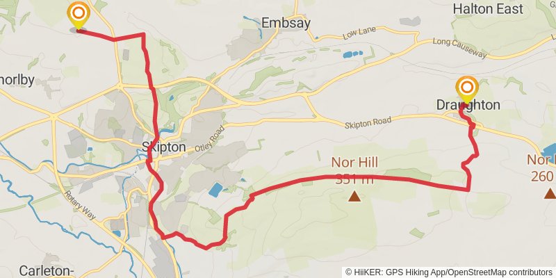
Ending at: Draughton, North Yorkshire, BD23 6EA
Distance: 12.3 km
Elevation gain: 270 m
Duration: 02:54:11
View on mapstage 8
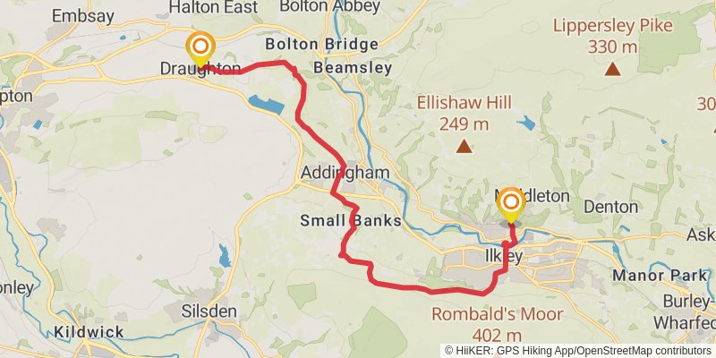
Starting at: Draughton, Craven, North Yorkshire, BD23 6EA
Ending at: Bradford, Bradford, LS29 0BA
Distance: 15.4 km
Elevation gain: 371 m
Duration: 03:41:39
View on mapstage 9
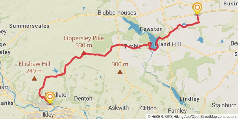
Starting at: Ben Rhydding, Bradford, Bradford, LS29 0BA
Ending at: Killinghall, North Yorkshire, HG3 1FG
Distance: 19.2 km
Elevation gain: 480 m
Duration: 04:37:57
View on mapstage 10
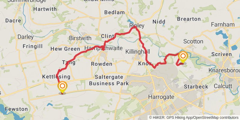
Starting at: North Yorkshire, HG3 1FG
Distance: 18.2 km
Elevation gain: 211 m
Duration: 03:59:16
View on mapstage 11
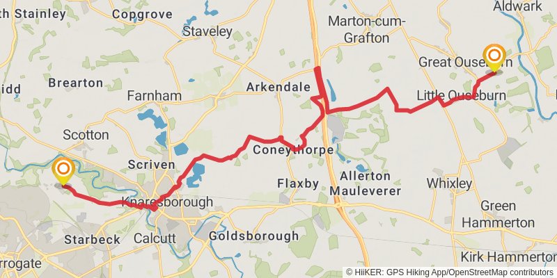
Starting at: North Yorkshire, HG1 4DL
Ending at: Great Ouseburn, North Yorkshire, YO26 9SN
Distance: 21.9 km
Elevation gain: 147 m
Duration: 04:37:53
View on mapstage 12
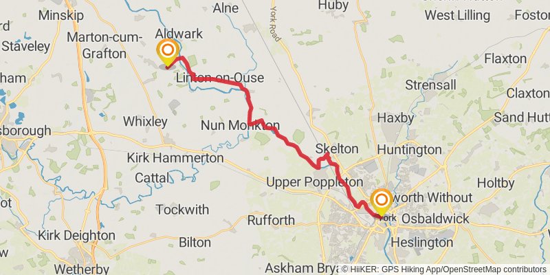
Starting at: Great Ouseburn, North Yorkshire, YO26 9SN
Ending at: Lendal Tower, York, York, YO1 7DR
Distance: 22.7 km
Elevation gain: 115 m
Duration: 04:43:17
View on map