Download
3D Flyover
Add to list
More
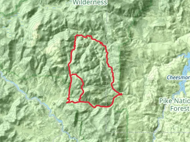
57.7 km
~3 days
1927 m
Multi-Day
“Embark on a vibrant trek through Colorado's history-rich Lost Creek Wilderness, adorned with diverse landscapes and stunning rock formations.”
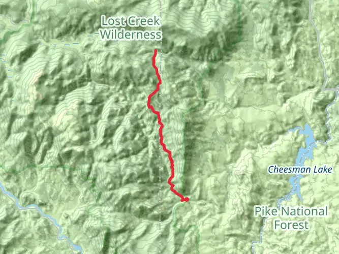
Embarking on the Lost Creek Wilderness Loop is a journey through a rugged and scenic portion of Colorado's Front Range. This approximately 58-kilometer (36-mile) trek, with an elevation gain of around 1900 meters (6234 feet), is a challenging adventure that will take you through diverse landscapes, from dense forests to alpine meadows, and past intriguing rock formations.
Getting to the Trailhead
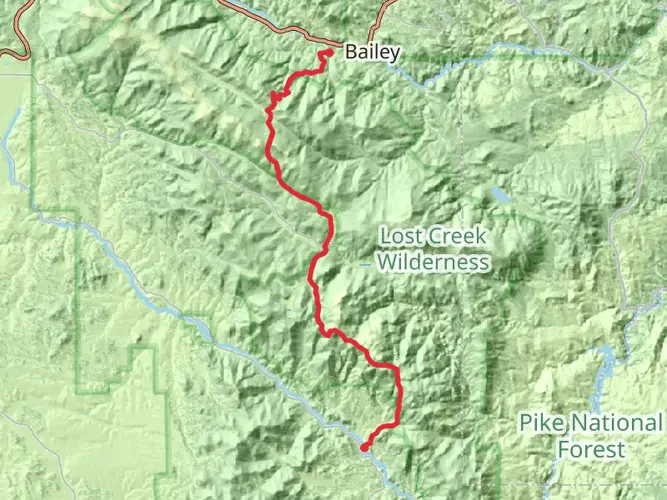
The trailhead is accessible near Jefferson County, Colorado. If you're driving, you can reach it by taking US Highway 285 to Bailey, and then turning onto County Road 68, which leads to the Lost Park Campground. This is a common starting point for the loop. For those relying on public transportation, options are limited, and it's typically necessary to arrange a private shuttle or taxi service from the nearest towns with bus service.
The Journey Begins
Starting from the Lost Park Campground, you'll head north on the Goose Creek Trail. The initial segment of the hike is a gentle introduction to the wilderness, with a mix of aspen groves and coniferous trees. As you progress, the trail becomes more challenging, with a series of switchbacks leading to higher elevations.
Historical Significance
The Lost Creek Wilderness is steeped in history. This area was once the hunting grounds of the Ute and Arapaho tribes before European settlers arrived. In the late 19th and early 20th centuries, it was a hotspot for mining and logging. Remnants of these activities can still be seen along the trail, including old cabins and mining equipment.
Landmarks and Natural Features
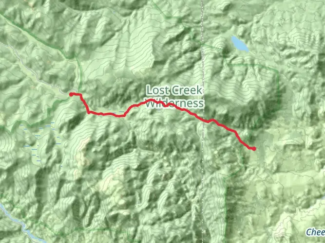
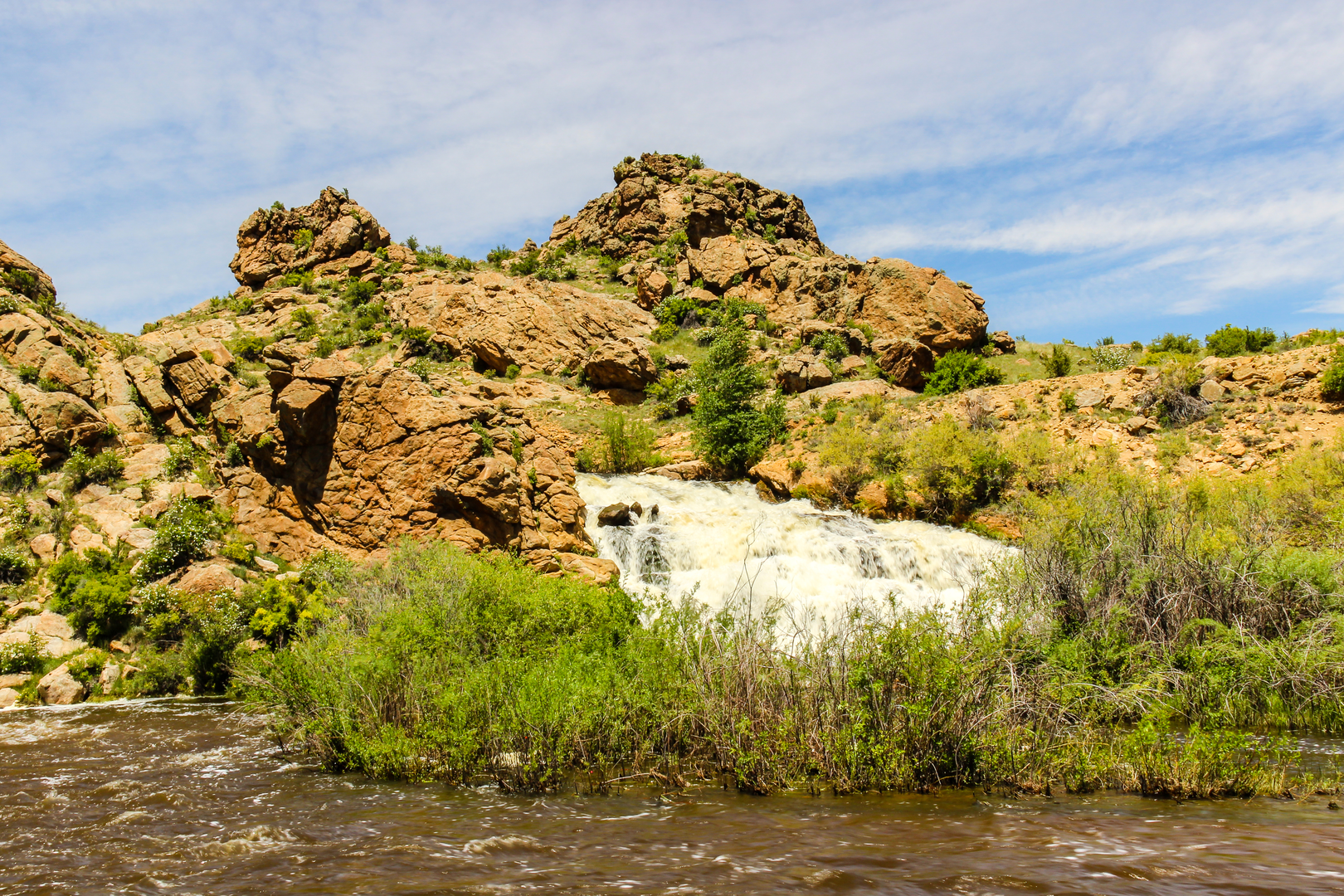
One of the most notable features of this hike is the variety of rock formations you'll encounter. Approximately 16 kilometers (10 miles) into the loop, you'll come across the impressive Refrigerator Gulch, a canyon with towering granite walls that provide a cool respite on warm days.
Continuing on, the trail weaves through the heart of the wilderness, offering views of the Kenosha and Tarryall mountain ranges. The Bison Peak, at an elevation of 3,801 meters (12,471 feet), is a prominent landmark visible from various points along the trail.
Flora and Fauna
The Lost Creek Wilderness is home to a rich array of wildlife. Keep an eye out for elk, mule deer, and moose, as well as smaller mammals like beavers and pine martens. Birdwatchers will appreciate the diversity of bird species, including the mountain bluebird and the red-tailed hawk.
The trail also showcases a variety of plant life, from wildflowers like columbines and Indian paintbrush in the meadows to bristlecone pines, some of the oldest living trees on Earth, which can be found at higher elevations.
Navigation and Preparation
Due to the trail's length and difficulty, it's essential to be well-prepared. Make sure to bring a map and compass or use a navigation tool like HiiKER to keep track of your location. The weather can change rapidly in the mountains, so pack appropriate gear for all conditions.
Water sources are available along the trail, but they should be treated before drinking. It's also important to practice Leave No Trace principles to preserve the wilderness for future hikers.
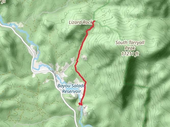
Final Ascent and Descent
As you approach the final segment of the loop, you'll ascend to a high ridge that offers panoramic views of the surrounding area. The descent back to the trailhead can be steep and rocky, so take care with your footing.
Upon completing the Lost Creek Wilderness Loop, you'll have experienced one of Colorado's most challenging and rewarding hikes, full of natural beauty and historical intrigue.

What to expect?
Activity types
Comments and Reviews
User comments, reviews and discussions about the Lost Creek Wilderness Loop, Colorado.
4.5
average rating out of 5
4 rating(s)