The best hikes in Hinsdale County
Colorado · 96 HiiKER Hikes
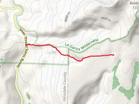
View Hikes on map
What to expect
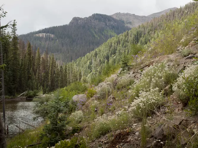
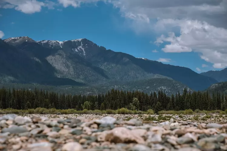
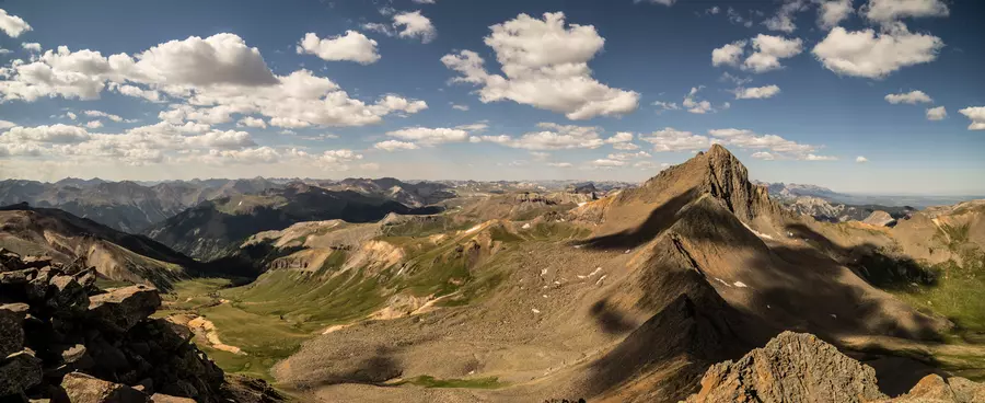
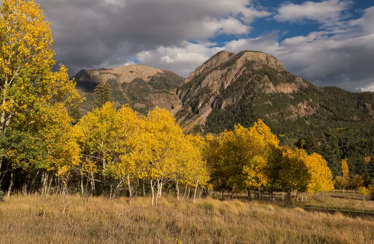
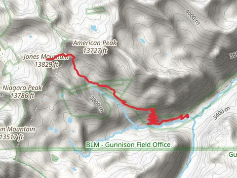
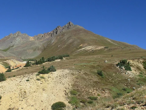
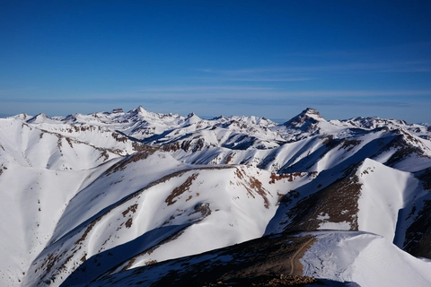
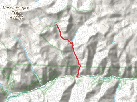
Check out some of the best hiking, walking and backpacking routes in Hinsdale County, Colorado. The Weminuche Pass Continental Divide Loop is the most popular trail. The trails have 355 user reviews with great photos and information. There are trails of various difficulty levels including easy, medium, difficult, and extra difficult. The trail with the highest elevation climb is the Matterhorn Peak and Uncompahgre Peak via Ridge Stock Driveway Trail and the trail with the least amount of climbing is the Piedra River Trail Out and Back. The longest trail is the Flint Creek via Pine River Trail at 66.5 km. For a shorter adventure you can try the Clear Creek Road Loop at 540 m. Get off line access to History, Campsite, Peak, and Water locations and much more with a Hiiker subscription.

Be prepared for hiking in Colorado with the HiiKER app