The best hikes in Clear Creek County
Colorado · 117 HiiKER Hikes
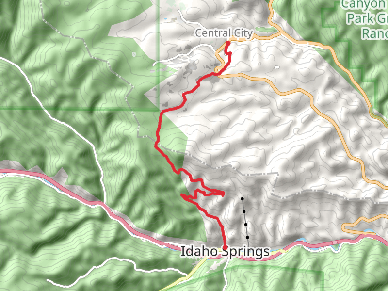
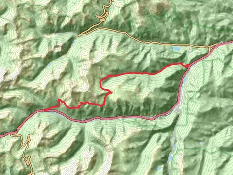
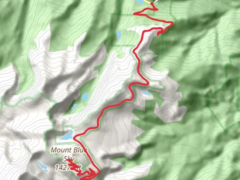
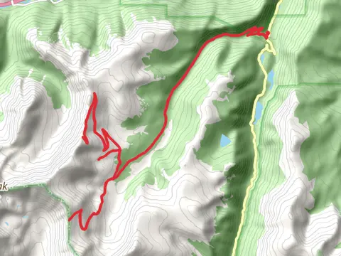
View Hikes on map
What to expect
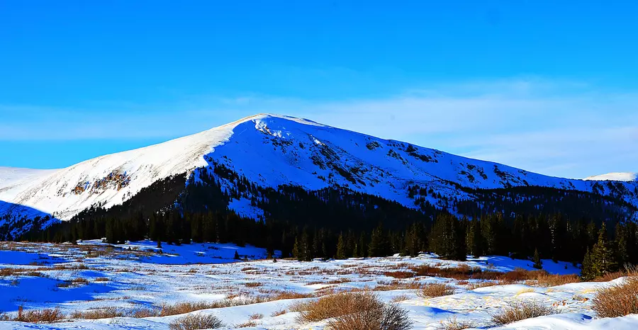
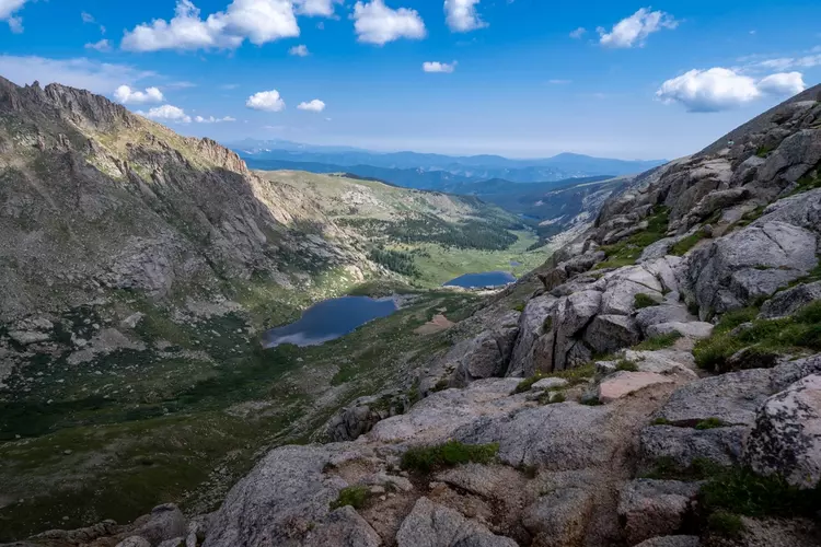
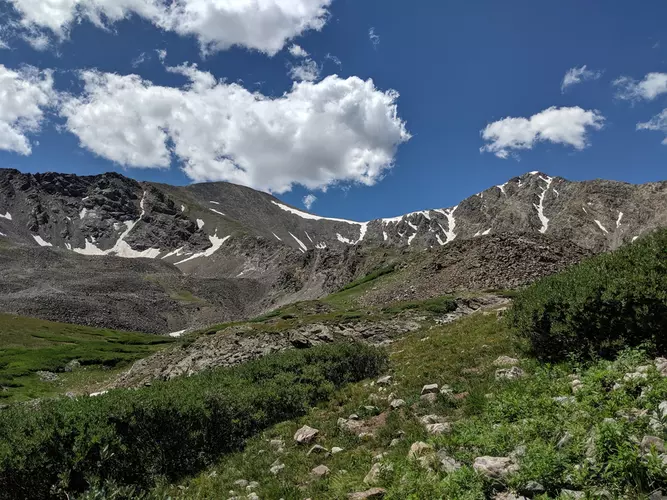
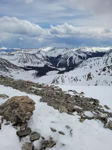
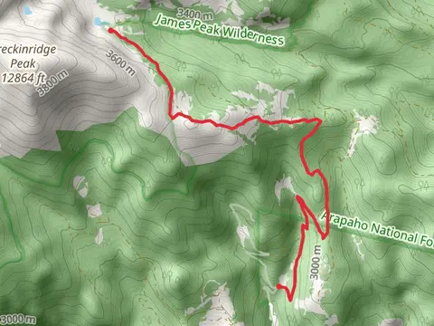
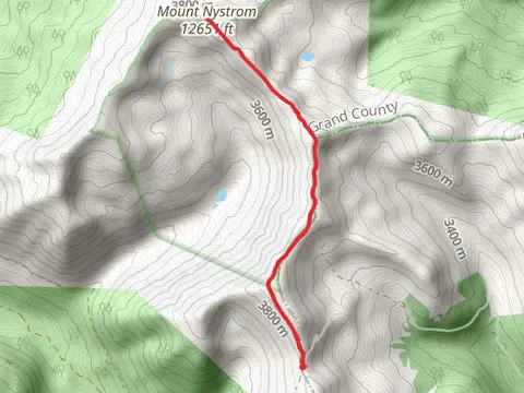
Check out some of the best hiking, walking and backpacking routes in Clear Creek County, Colorado. The Mount Bierstadt Trail is the most popular trail. The trails have 698 user reviews with great photos and information. There are trails of various difficulty levels including medium, difficult, and extra difficult. The trail with the highest elevation climb is the Grays Peak via North Slopes route and the trail with the least amount of climbing is the Clear Creek via Scott Lancaster Memorial Trail. The longest trail is the Mount Evans and Summit Lake Trail at 46.9 km. For a shorter adventure you can try the Bristlecone Loop Trail at 463 m. Get off line access to Viewpoint, Water, Bus Stop, and Peak locations and much more with a Hiiker subscription.

Be prepared for hiking in Colorado with the HiiKER app