The best hikes in Tuolumne County
California · 208 HiiKER Hikes
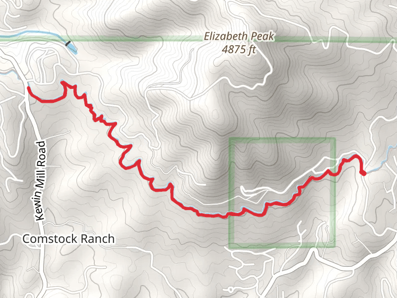
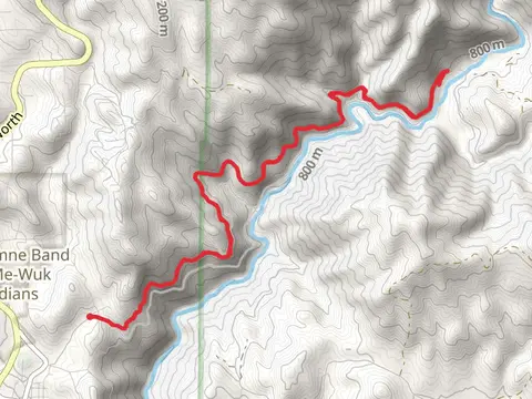
View Hikes on map
What to expect
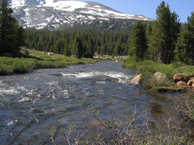
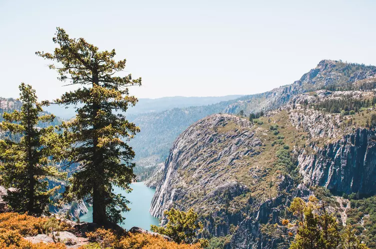
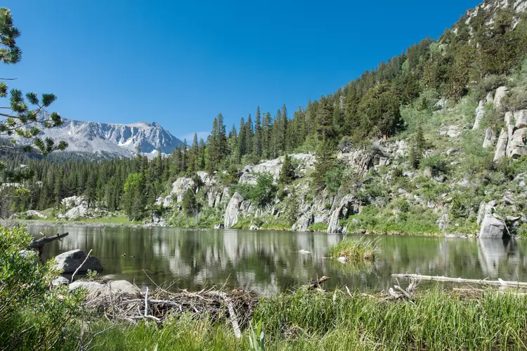
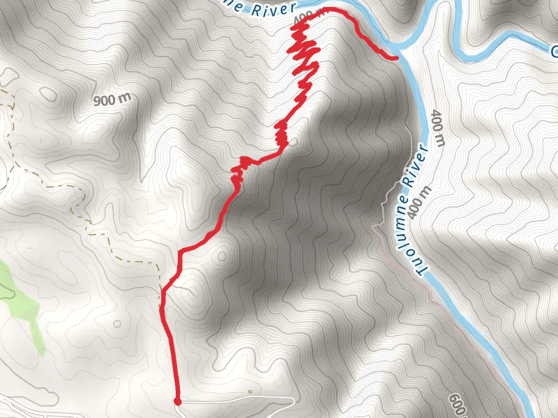
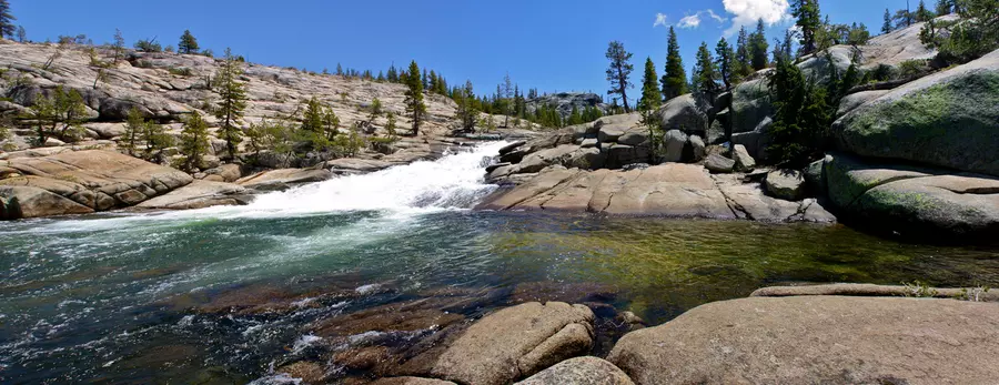
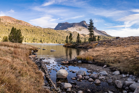
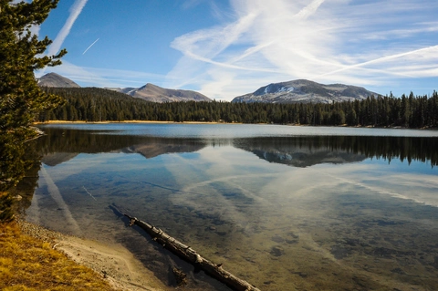
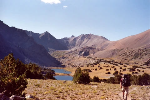
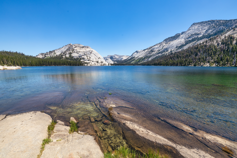
Check out some of the best hiking, walking and backpacking routes in Tuolumne County, California. The Tuolumne Meadows to Half Dome is the most popular trail. The trails have 468 user reviews with great photos and information. There are trails of various difficulty levels including easy, medium, difficult, and extra difficult. The trail with the highest elevation climb is the Mount Dana Trail and the trail with the least amount of climbing is the Don Pedro Reservoir Northern Shore Walk. The longest trail is the Rafferty Creek Trail, Clouds Rest Trail and May Lake Trail Loop at 77.1 km. For a shorter adventure you can try the Donnells Vista Trail at 742 m. Get off line access to Viewpoint, Water, Campsite, and Peak locations and much more with a Hiiker subscription.

Be prepared for hiking in California with the HiiKER app