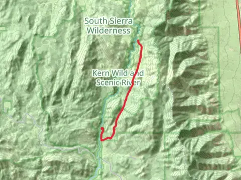
The best hikes in Tulare County
California · 229 HiiKER Hikes
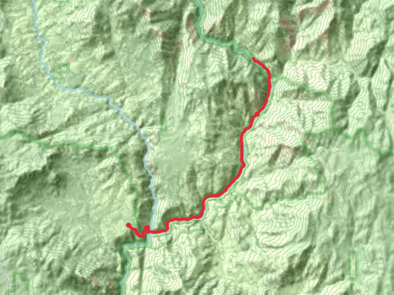
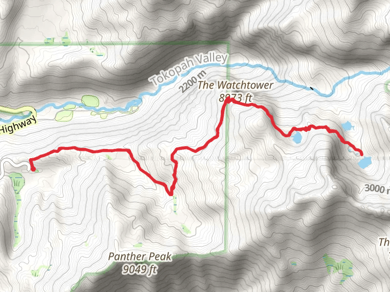
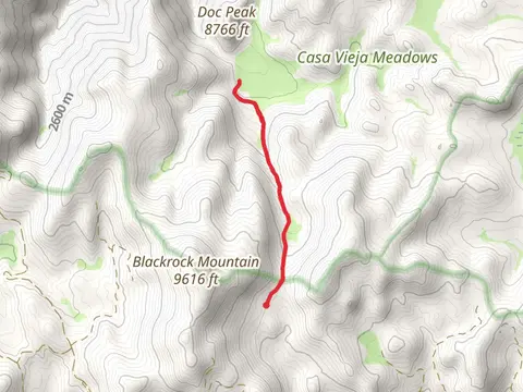
View Hikes on map
What to expect
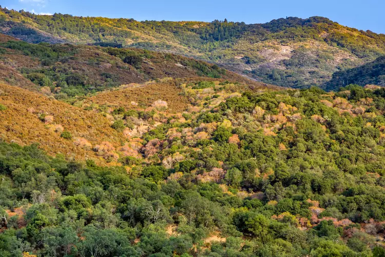
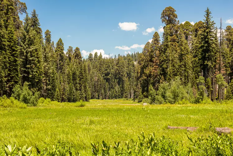
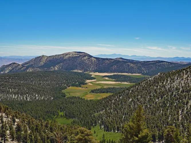
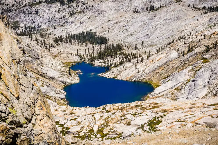
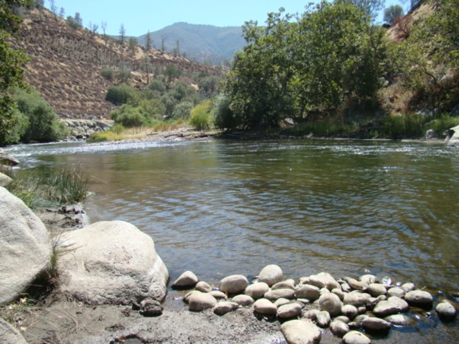
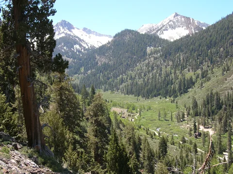
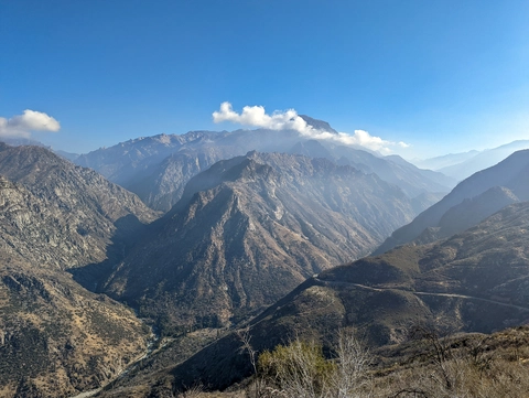
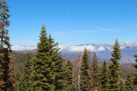
Check out some of the best hiking, walking and backpacking routes in Tulare County, California. The High Sierra Trail is the most popular trail. The trails have 541 user reviews with great photos and information. There are trails of various difficulty levels including easy, medium, difficult, and extra difficult. The trail with the highest elevation climb is the Crescent Meadows to Whitney Portal and the trail with the least amount of climbing is the Sunset Park Path Loop. The longest trail is the High Sierra Trail at 117.2 km. For a shorter adventure you can try the Generals Highway at 210 m. Get off line access to Viewpoint, Campsite, Water, and Peak locations and much more with a Hiiker subscription.

Be prepared for hiking in California with the HiiKER app