The best hikes in Trinity County
California · 150 HiiKER Hikes
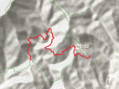
View Hikes on map
What to expect
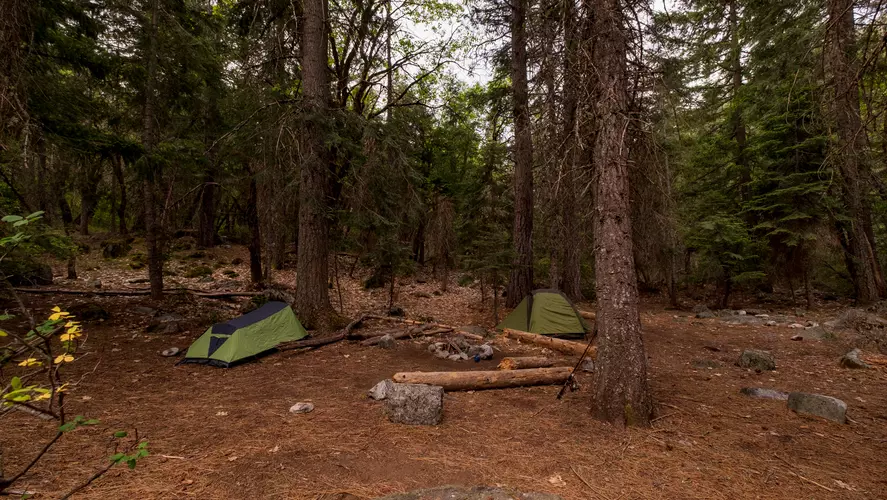
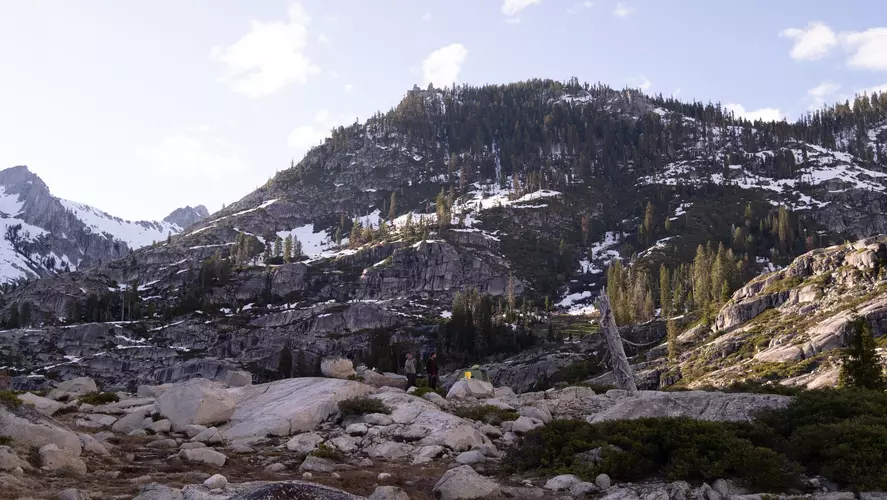
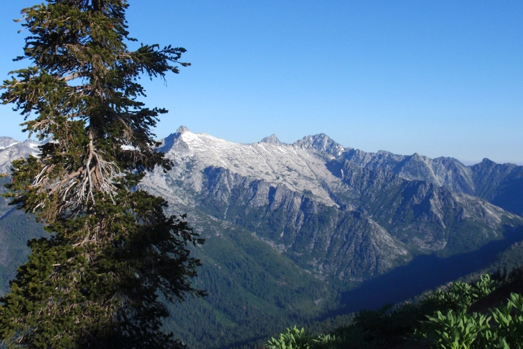
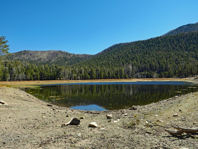
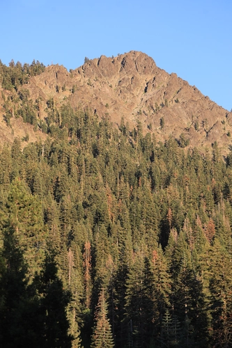
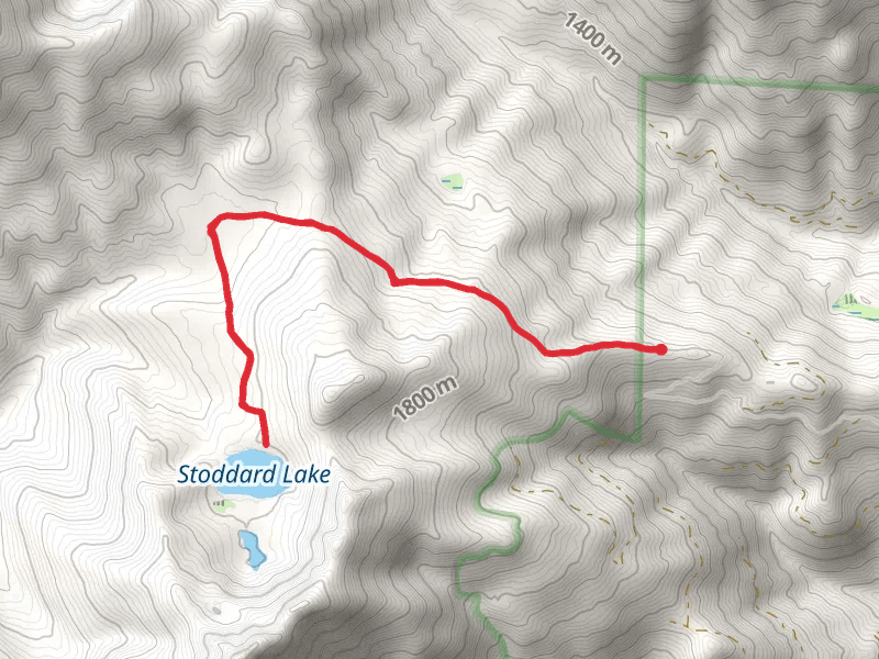
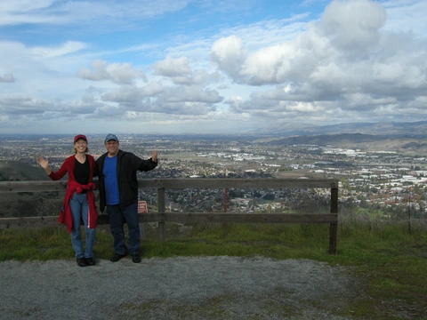
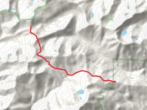
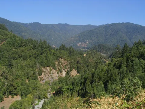
Check out some of the best hiking, walking and backpacking routes in Trinity County, California. The New River and Slide Creek to Historic Mining District and Eagle Creek is the most popular trail. The trails have 265 user reviews with great photos and information. There are trails of various difficulty levels including medium, difficult, and extra difficult. The trail with the highest elevation climb is the Mount Eddyvia Deadfall Lakes Trail and the trail with the least amount of climbing is the Burnt Ranch Falls Trail. The longest trail is the Stuart Fork to Sapphire Lake Trail at 43.6 km. For a shorter adventure you can try the Twin Lakes Trail at 1.2 km. Get off line access to Restaurant, Campsite, Peak, and Water locations and much more with a Hiiker subscription.

Be prepared for hiking in California with the HiiKER app