The best hikes in Stanislaus County
California · 14 HiiKER Hikes
View Hikes on map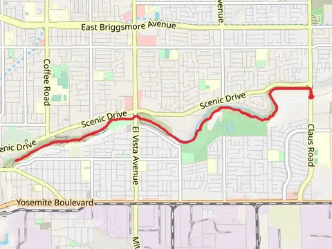
What to expect
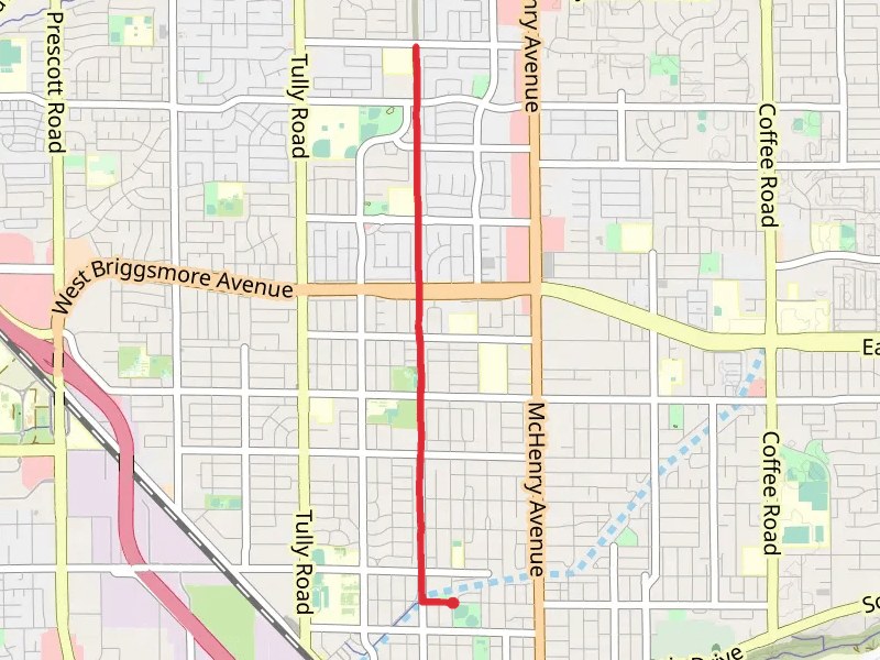
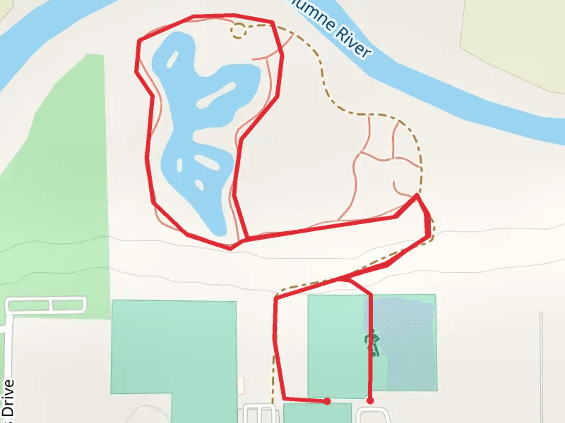
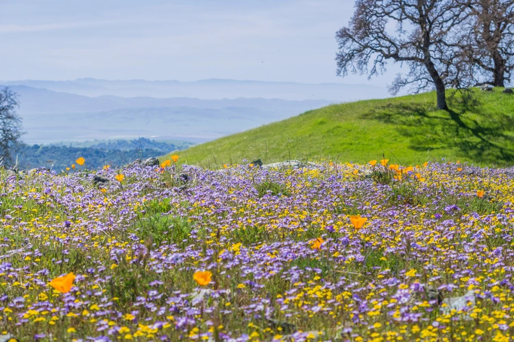
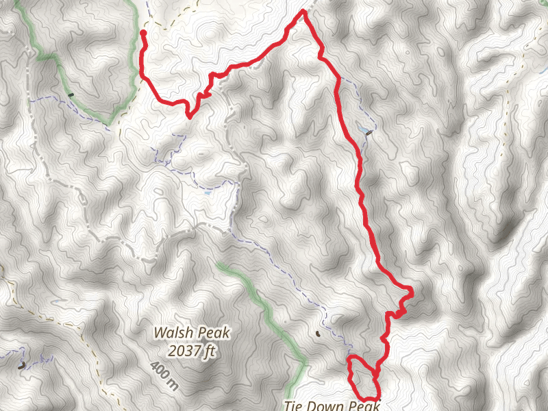
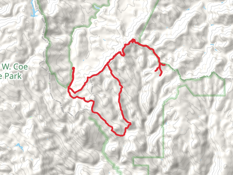
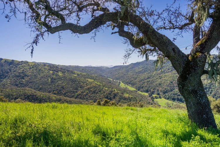
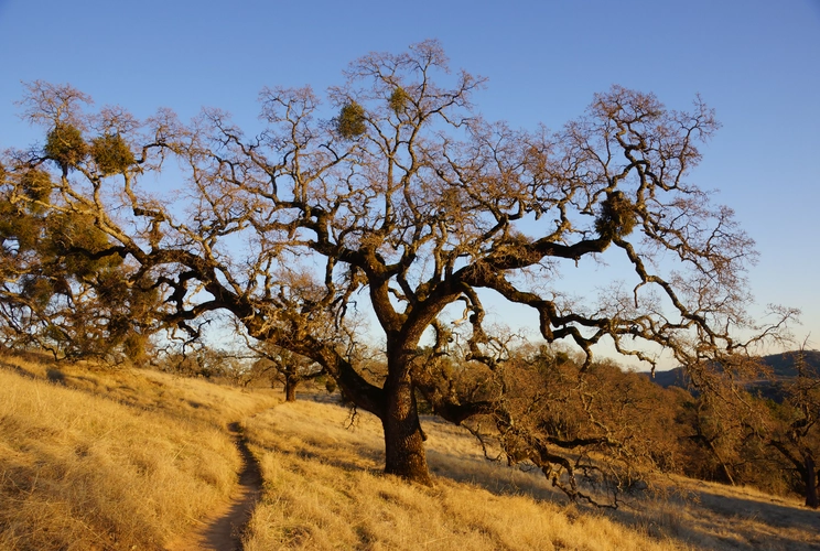
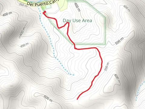
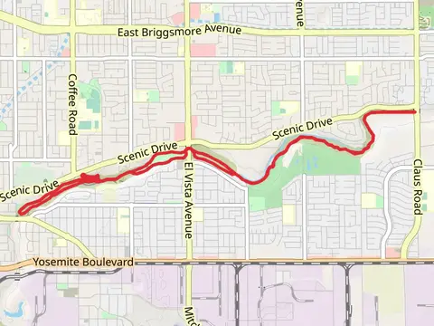
Check out some of the best hiking, walking and backpacking routes in Stanislaus County, California. The Dry Creek Walk is the most popular trail. The trail with the highest elevation climb is the Mustang Peak, Raven Pond, Purple Pond and Dutch's Loop Trail and the trail with the least amount of climbing is the Pelican Nature Loop Trail. The longest trail is the Mustang Peak, Raven Pond, Purple Pond and Dutch's Loop Trail at 28.7 km. For a shorter adventure you can try the Stanislaus River from Sonora Road at 1.7 km. Get off line access to Healthcare, Water, Fastfood, and Peak locations and much more with a Hiiker subscription.

Be prepared for hiking in California with the HiiKER app