Download
Preview
Add to list
More
1.7 km
~22 min
29 m
Out and Back
“Embark on a scenic, flat 2 km hike along Stanislaus River, rich with history and wildlife.”
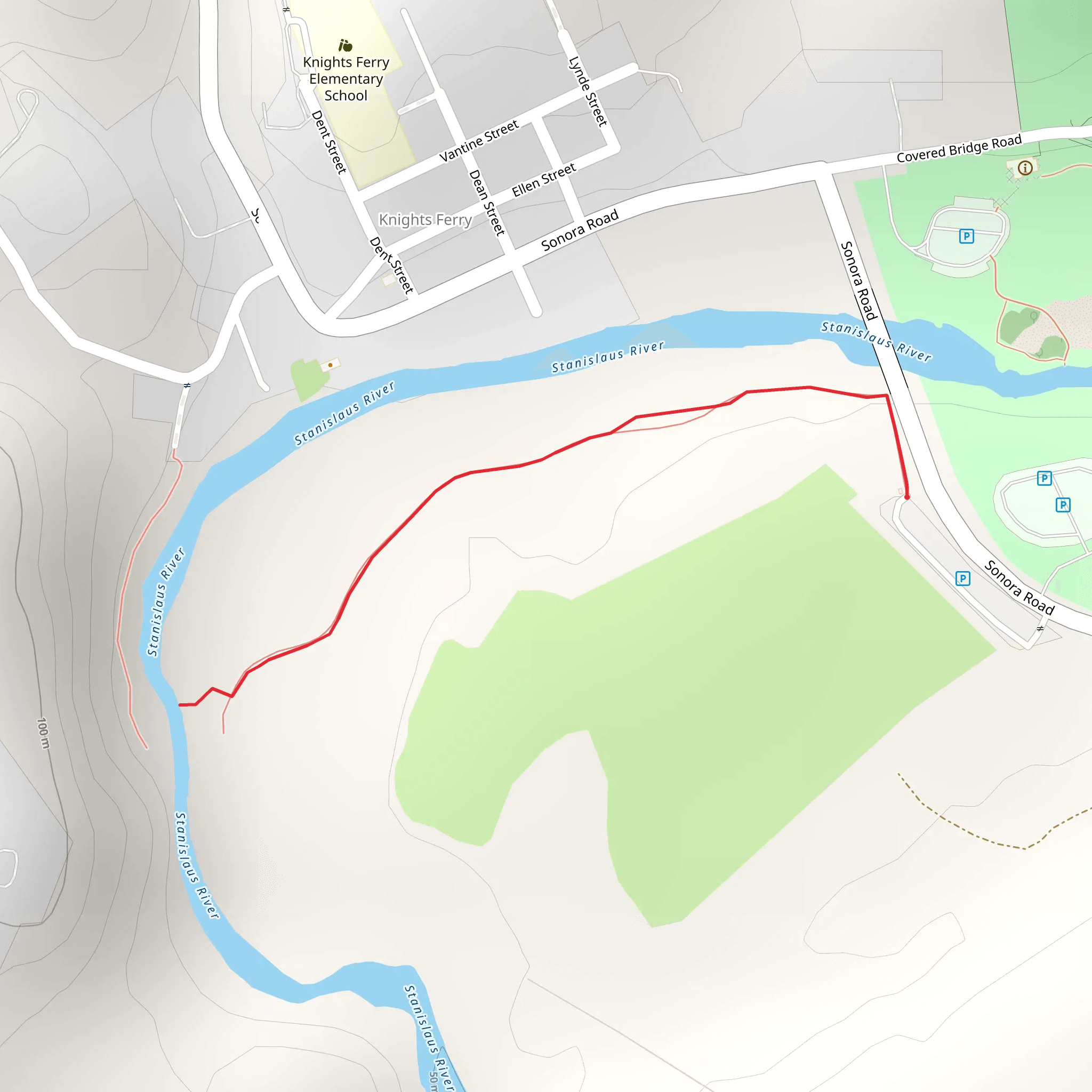
Starting near Stanislaus County, California, this 2 km (approximately 1.24 miles) out-and-back trail offers a moderate hiking experience with no significant elevation gain, making it accessible for a wide range of hikers. The trailhead is conveniently located near Sonora Road, which can be reached by car or public transport. If driving, you can park near the intersection of Sonora Road and the Stanislaus River. For those using public transport, the nearest bus stop is at the Sonora Road and O'Byrnes Ferry Road intersection, a short walk from the trailhead.
Trail Overview
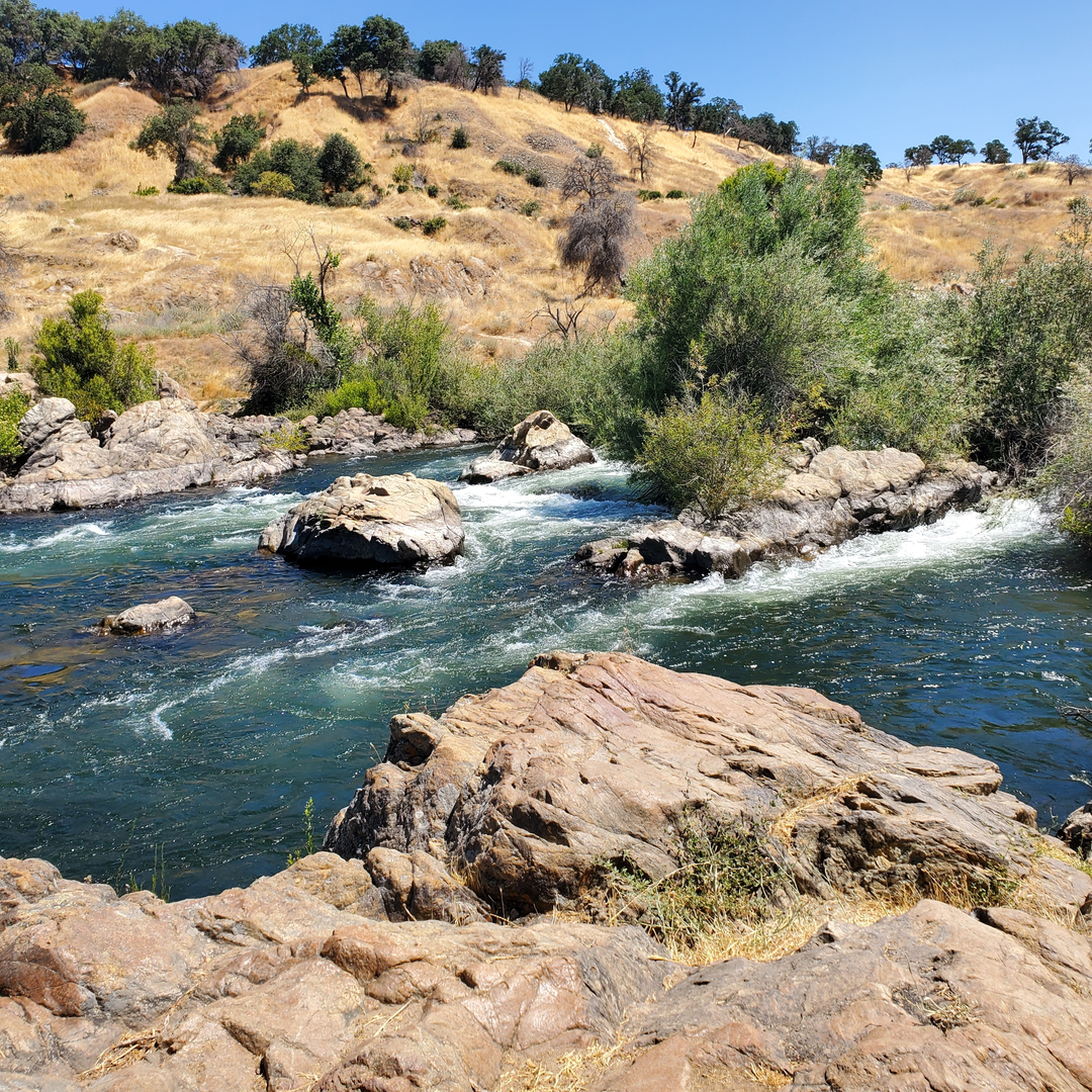
The trail meanders along the scenic Stanislaus River, providing hikers with picturesque views of the water and surrounding landscape. The path is well-marked and relatively flat, making it suitable for families and casual hikers. Despite its moderate difficulty rating, the trail can become slippery after rain, so appropriate footwear is recommended.
Landmarks and Points of Interest
- Stanislaus River: The river itself is the main attraction, offering opportunities for fishing, bird-watching, and photography. The clear waters and gentle flow create a serene environment perfect for a relaxing hike. - Flora and Fauna: The trail is lined with a variety of native plants, including oak trees, wildflowers, and shrubs. Wildlife such as deer, squirrels, and various bird species are commonly spotted along the route. - Historical Significance: The Stanislaus River area has a rich history, dating back to the Gold Rush era. The river was a significant site for gold panning and mining activities in the mid-1800s. Remnants of old mining equipment and structures can still be seen along the trail, offering a glimpse into the past.
Navigation and Safety
Using HiiKER for navigation is highly recommended to ensure you stay on the correct path and to access real-time trail conditions. The app provides detailed maps and user reviews, which can be invaluable for planning your hike.
Getting There
- By Car: From Stanislaus County, take Sonora Road towards the Stanislaus River. Parking is available near the intersection of Sonora Road and the river. - By Public Transport: The nearest bus stop is at the intersection of Sonora Road and O'Byrnes Ferry Road. From there, it's a short walk to the trailhead.
Final Tips
- Weather: Check the weather forecast before heading out, as the trail can become muddy and slippery after rain. - Gear: Wear sturdy hiking boots and bring water, snacks, and a first-aid kit. - Wildlife: Be mindful of the local wildlife and maintain a safe distance from any animals you encounter.
This trail offers a delightful mix of natural beauty and historical intrigue, making it a rewarding experience for anyone looking to explore the Stanislaus River area.
What to expect?
Activity types
Comments and Reviews
User comments, reviews and discussions about the Stanislaus River from Sonora Road, California.
4.75
average rating out of 5
4 rating(s)

