The best hikes in Santa Clara County
California · 392 HiiKER Hikes
View Hikes on map

What to expect
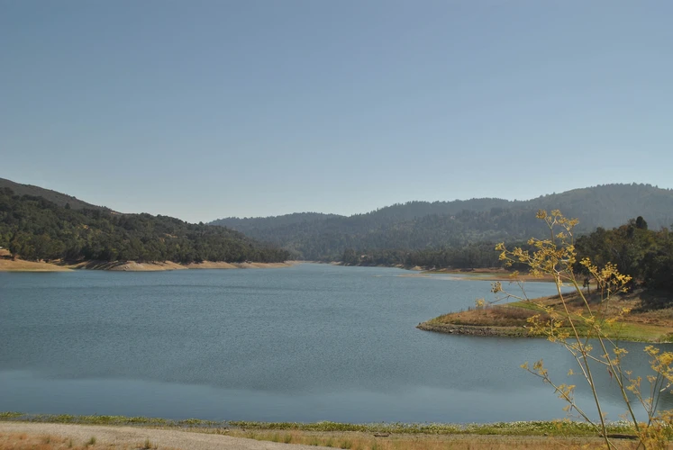
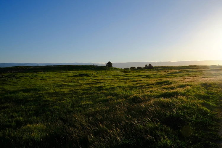
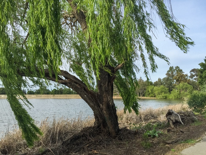
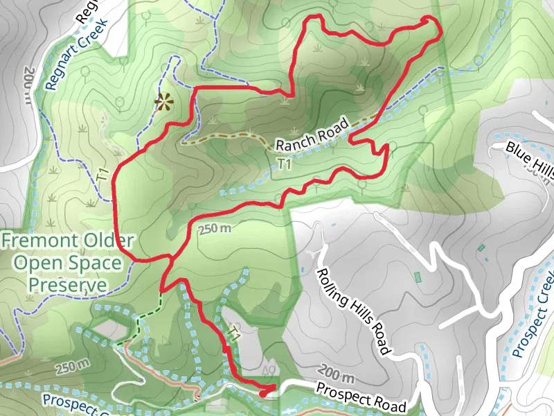
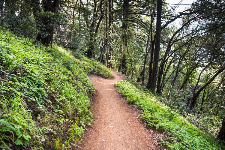
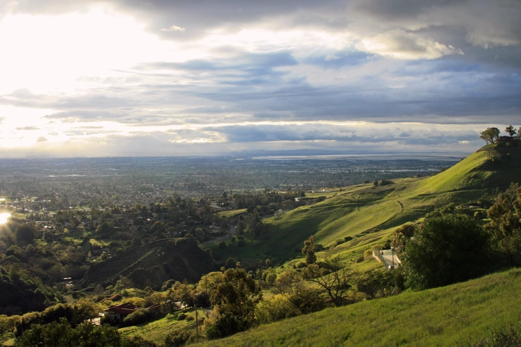
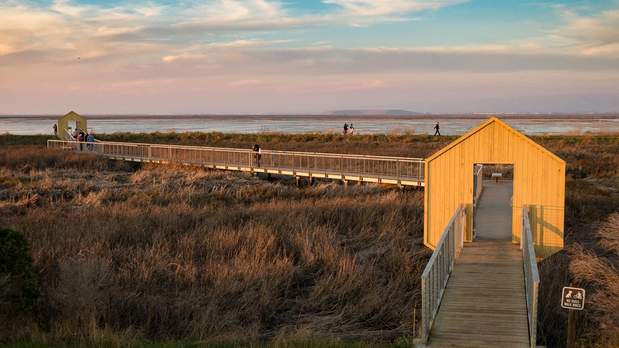
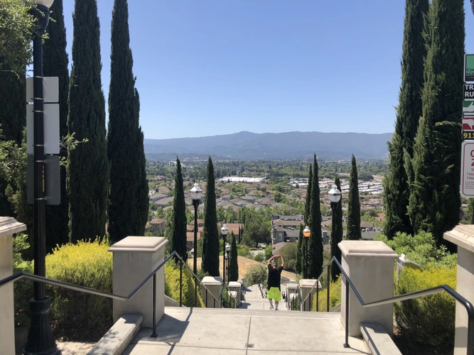
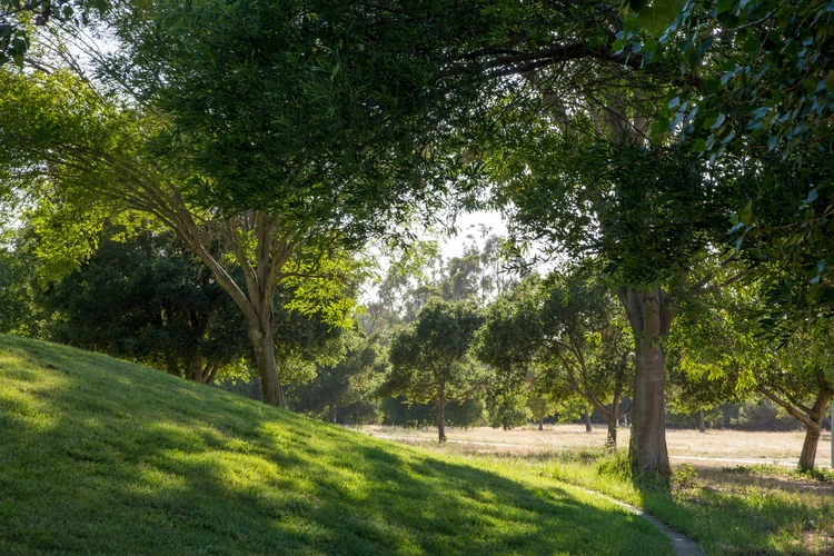
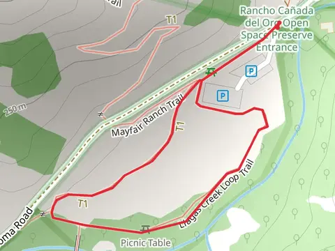
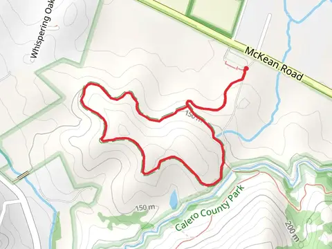
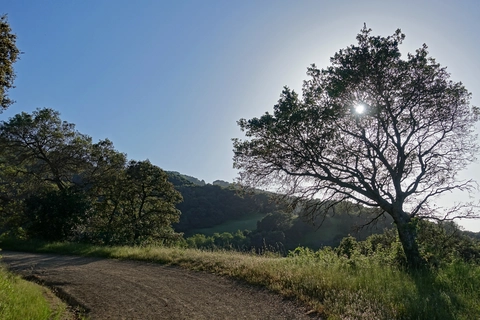
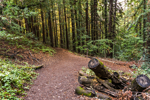
Check out some of the best hiking, walking and backpacking routes in Santa Clara County, California. The Jonesand Los Gatos Creek Loop Trail is the most popular trail. The trails have 1489 user reviews with great photos and information. There are trails of various difficulty levels including easy, medium, difficult, and extra difficult. The trail with the highest elevation climb is the Mount Umunhum via Barlow Road and the trail with the least amount of climbing is the Sunnyvale Baylands Park Loop - Short. The longest trail is the Pacheco Falls, Kelly Lake, Wasno Pond via Lyman Willson Ridge Loop Trail at 41.8 km. For a shorter adventure you can try the Watsonville Road Loop at 301 m. Get off line access to Healthcare, Peak, Fastfood, and Restaurant locations and much more with a Hiiker subscription.

Be prepared for hiking in California with the HiiKER app