The best hikes in Sacramento County
California · 65 HiiKER Hikes
View Hikes on map

What to expect
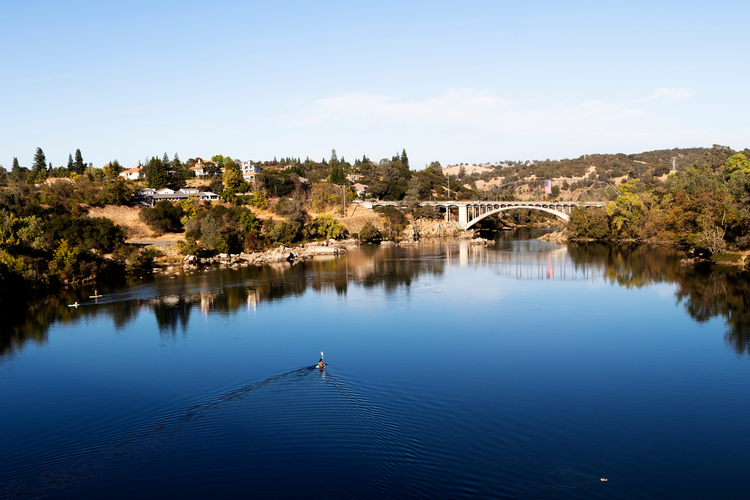
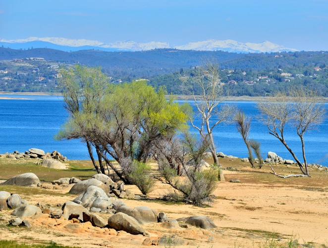
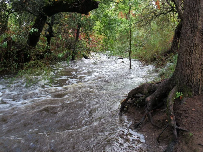
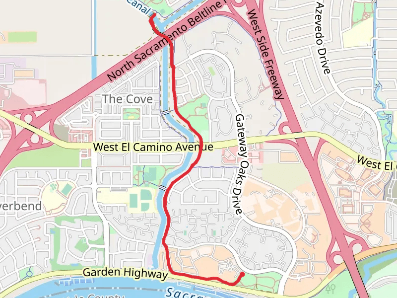
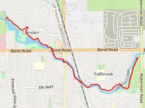
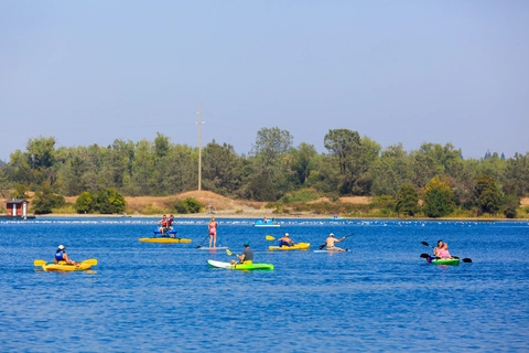
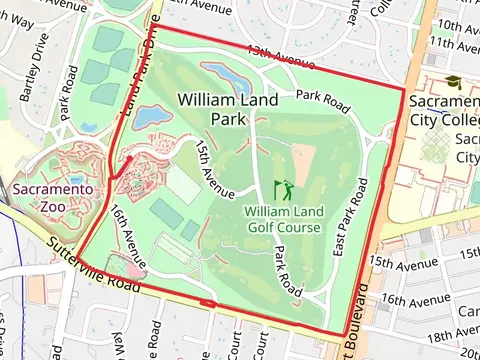
Check out some of the best hiking, walking and backpacking routes in Sacramento County, California. The Lake Natoma Loop via American River Trail is the most popular trail. The trails have 234 user reviews with great photos and information. There are trails of various difficulty levels including easy and medium. The trail with the highest elevation climb is the Jedi Trail and Pioneer Express Trail - Folsom Lake and the trail with the least amount of climbing is the Charter Point Park and Potuguese Community Park. The longest trail is the Jedi Trail and Pioneer Express Trail - Folsom Lake at 43.9 km. For a shorter adventure you can try the Sutter's Fort State Historic Park Loop at 670 m. Get off line access to Shop, Bus Stop, Fastfood, and Restaurant locations and much more with a Hiiker subscription.

Be prepared for hiking in California with the HiiKER app