The best hikes in Riverside County
California · 430 HiiKER Hikes
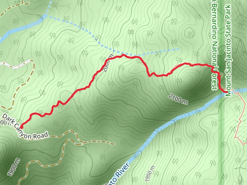
View Hikes on map
What to expect
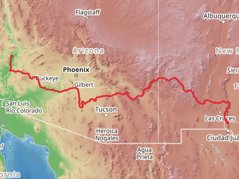
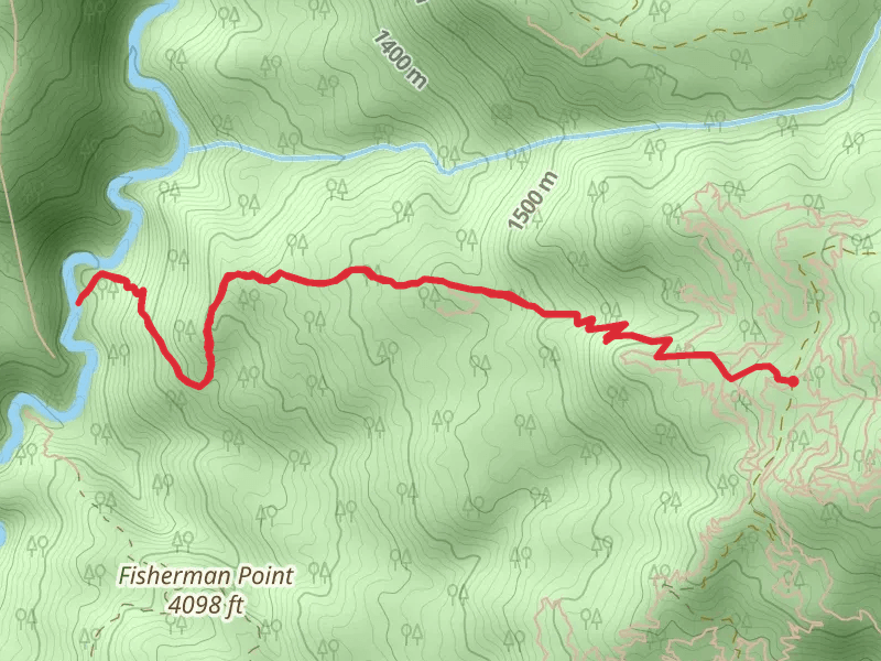
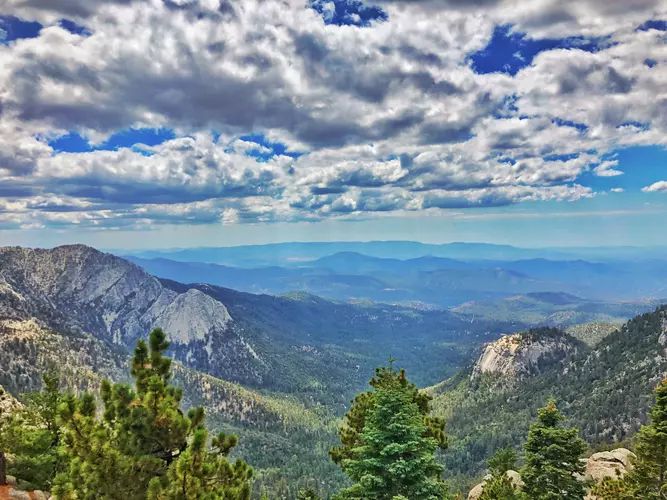
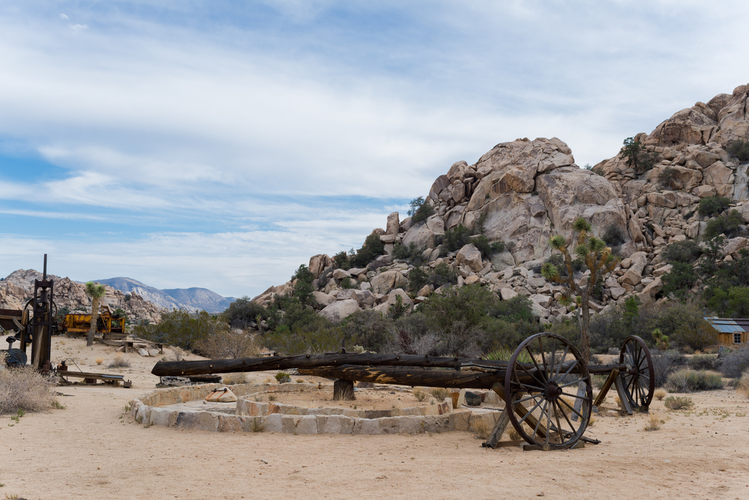
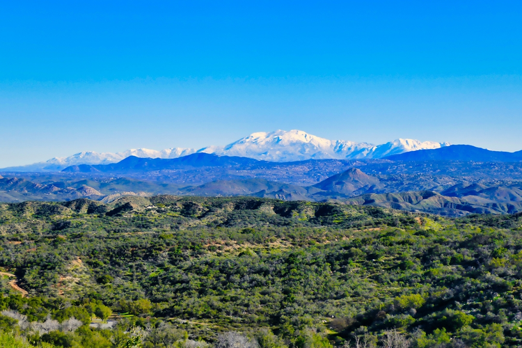
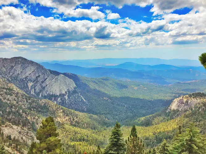
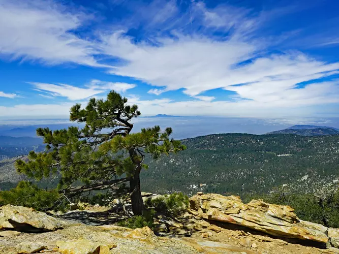
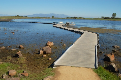
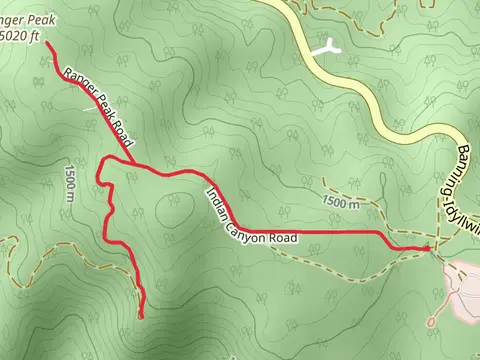
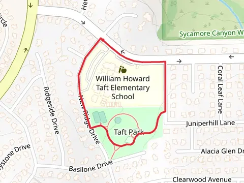
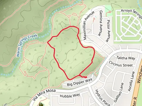
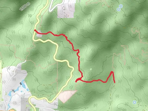
Check out some of the best hiking, walking and backpacking routes in Riverside County, California. The American Perimeter Trail - Southwest Primary is the most popular trail. The trails have 1367 user reviews with great photos and information. There are trails of various difficulty levels including easy, medium, difficult, and extra difficult. The trail with the highest elevation climb is the Marion Mountain to San Jacinto Peak and the trail with the least amount of climbing is the San Andres Loop Trail. The longest trail is the American Perimeter Trail - Southwest Primary at 1460.4 km. For a shorter adventure you can try the Indian Vista Overlook at 142 m. Get off line access to Peak, Shelter, Fastfood, and Restaurant locations and much more with a Hiiker subscription.

Be prepared for hiking in California with the HiiKER app