The best hikes in Orange County
California · 419 HiiKER Hikes
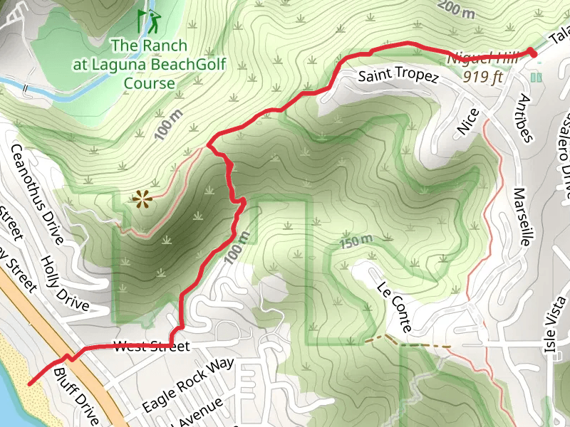
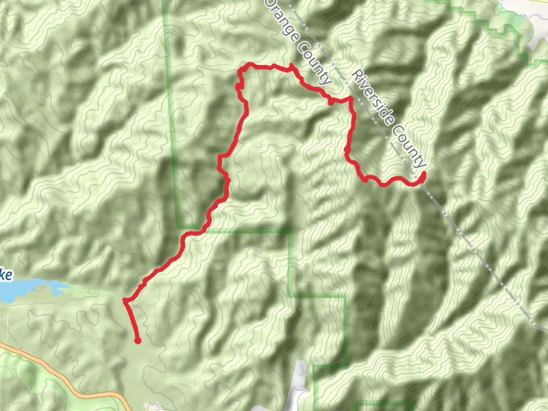
View Hikes on map
What to expect
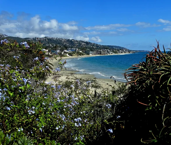
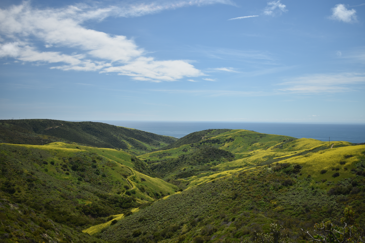
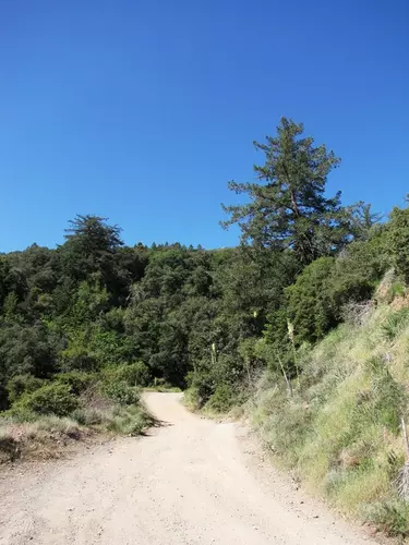
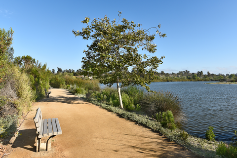
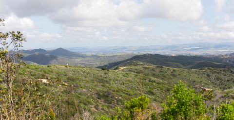
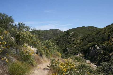
Check out some of the best hiking, walking and backpacking routes in Orange County, California. The Bay Front - Balboa Island Loop is the most popular trail. The trails have 1609 user reviews with great photos and information. There are trails of various difficulty levels including easy, medium, difficult, and extra difficult. The trail with the highest elevation climb is the Santiago Peak via Maple Springs Road and the trail with the least amount of climbing is the Bay Front - Balboa Island Loop. The longest trail is the Flores Peak - Modjeska Peak - Santiago Peak at 44.1 km. For a shorter adventure you can try the La Paws Dog Park Loop at 415 m. Get off line access to Healthcare, Shelter, Restaurant, and Fastfood locations and much more with a Hiiker subscription.

Be prepared for hiking in California with the HiiKER app