The best hikes in Nevada County
California · 171 HiiKER Hikes
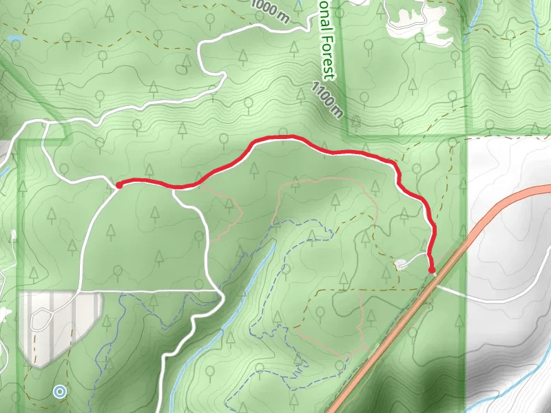
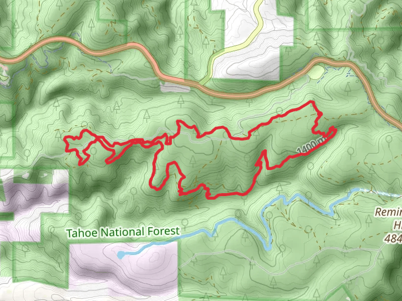
View Hikes on map

What to expect
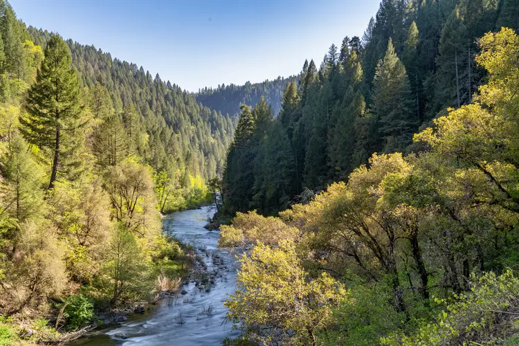
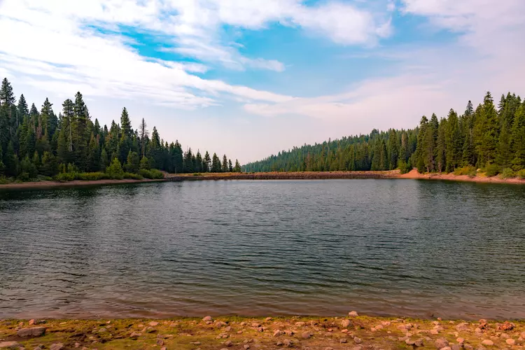
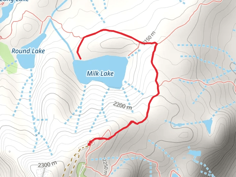
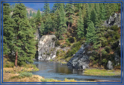
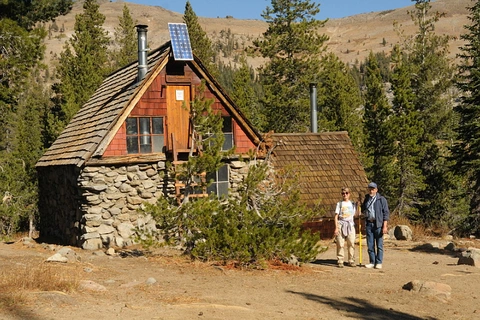
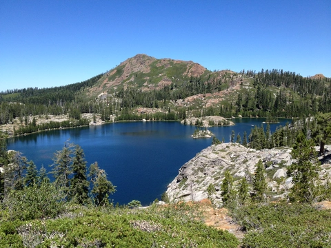
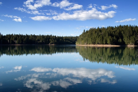
Check out some of the best hiking, walking and backpacking routes in Nevada County, California. The Pfeiffer Trail is the most popular trail. The trails have 498 user reviews with great photos and information. There are trails of various difficulty levels including easy, medium, difficult, and extra difficult. The trail with the highest elevation climb is the Castle Peak Trail and the trail with the least amount of climbing is the Buttermilk Bend Trail. The longest trail is the Sawmill Lake via Grouse Ridge Trail at 40.9 km. For a shorter adventure you can try the Omega Road Loop at 495 m. Get off line access to Shop, Water, Peak, and Campsite locations and much more with a Hiiker subscription.

Be prepared for hiking in California with the HiiKER app