The best hikes in Napa County
California · 60 HiiKER Hikes
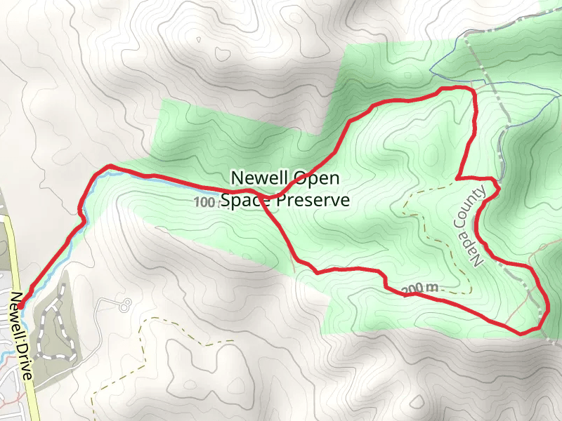
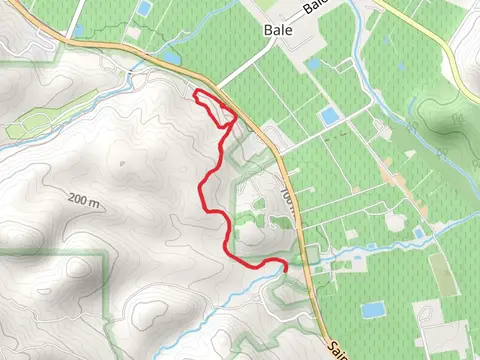
View Hikes on map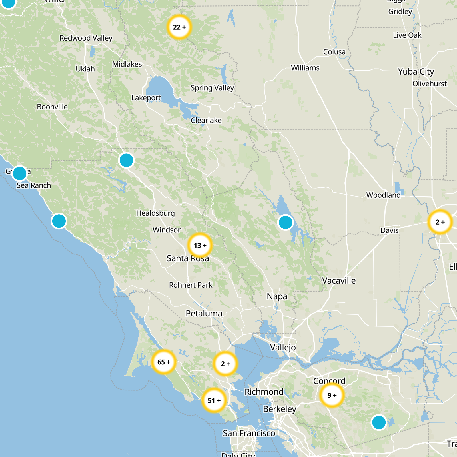
What to expect
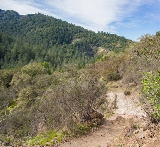
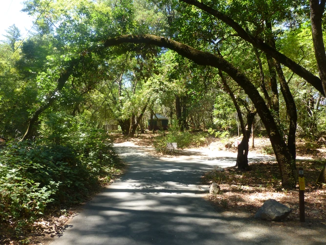
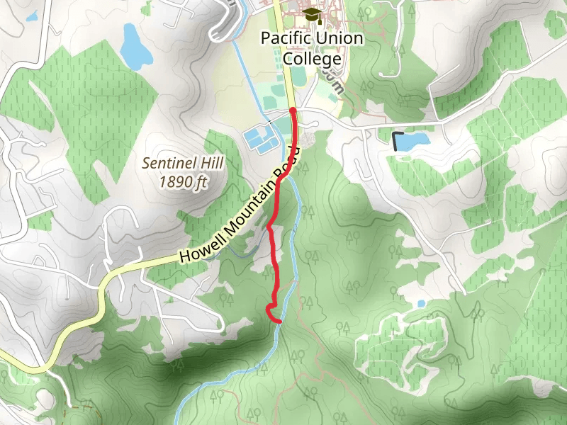
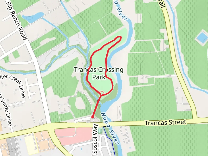
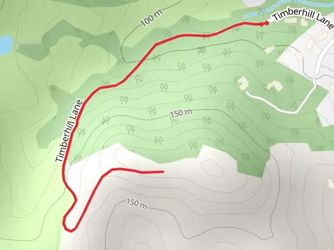
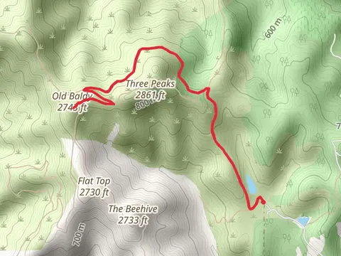
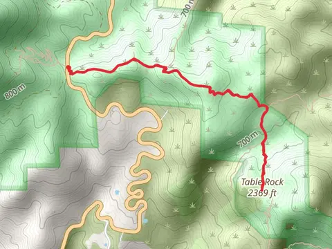
Check out some of the best hiking, walking and backpacking routes in Napa County, California. The Las Posadas State Forest Loop is the most popular trail. The trails have 226 user reviews with great photos and information. There are trails of various difficulty levels including easy, medium, difficult, and extra difficult. The trail with the highest elevation climb is the Mount Saint Helena via Bay Area Ridge Trail and the trail with the least amount of climbing is the San Francisco Bay Loop Trail. The longest trail is the Table Rock Trail - Lake County Highway at 32.0 km. For a shorter adventure you can try the Trancas Crossing Park Loop at 1.5 km. Get off line access to Restaurant, Peak, Fastfood, and Healthcare locations and much more with a Hiiker subscription.

Be prepared for hiking in California with the HiiKER app