Mariposa County, California Hiking in Yosemite
California · 192 HiiKER Hikes
View Hikes on map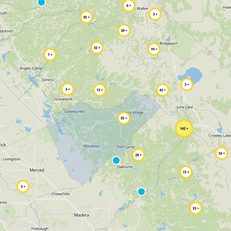
What to expect
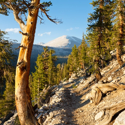
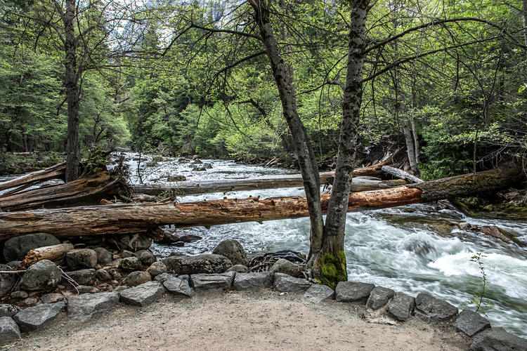
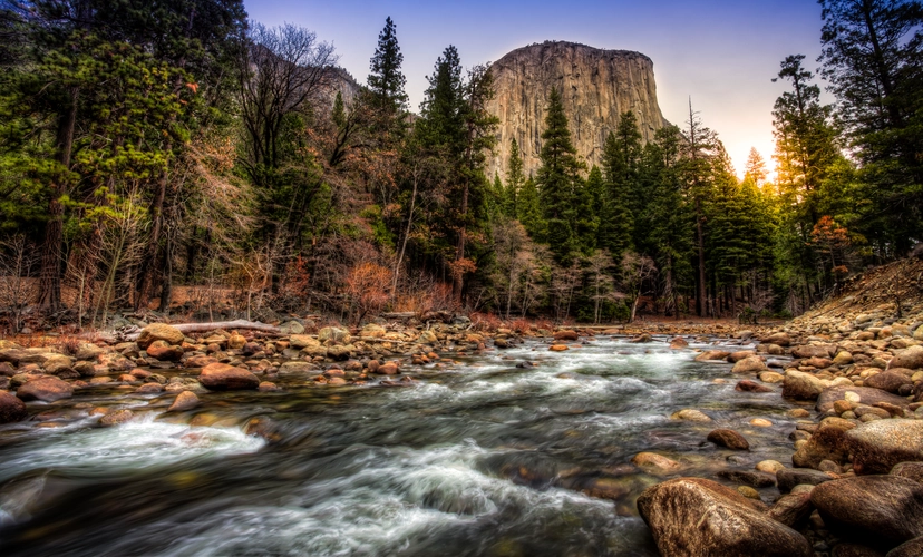
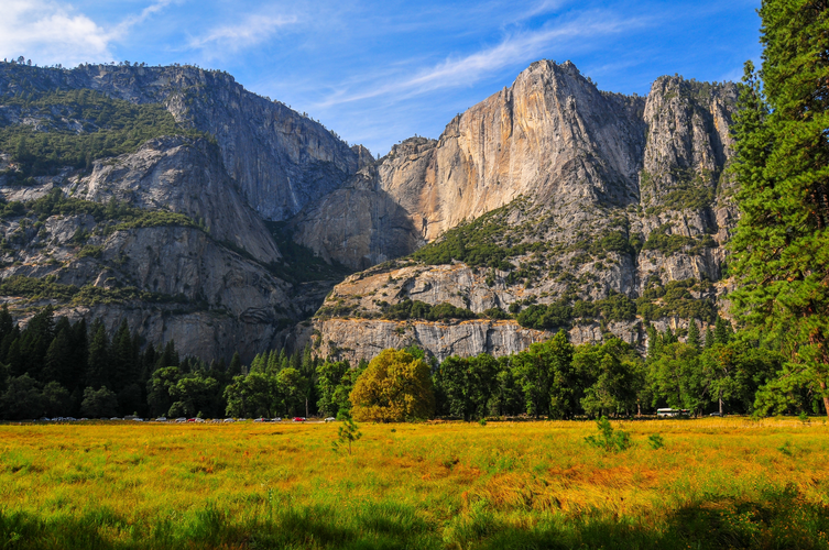
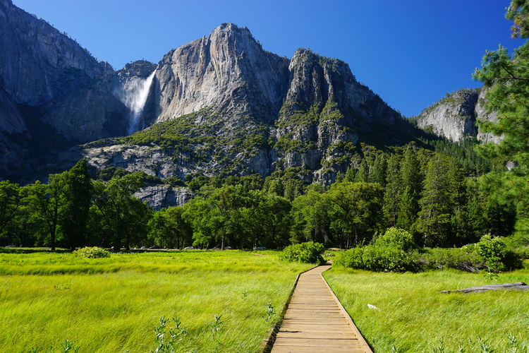
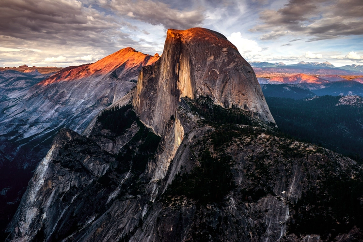
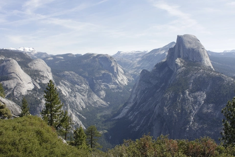
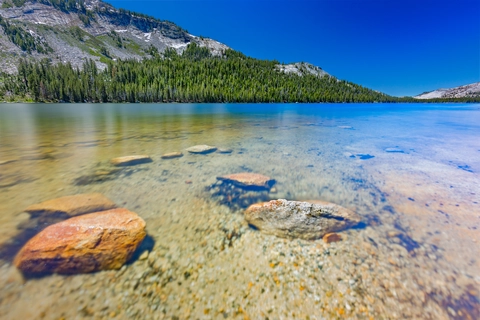
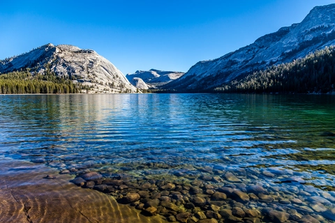
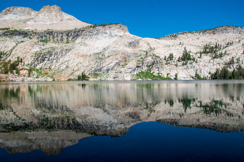
Mariposa County, California is Yosemite’s western gateway, where trails rise from the Merced River through Yosemite Valley to Glacier Point, Nevada Fall, and the high country beyond. You can follow the Panorama Trail for big granite views, climb the Upper Yosemite Falls Trail above the valley floor, or head toward Happy Isles and Merced Lake as oak foothills give way to Sierra stone.
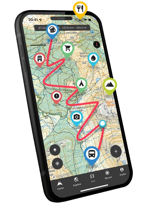
Be prepared for hiking in California with the HiiKER app