Download
Preview
Add to list
More
25.8 km
~2 days
748 m
Multi-Day
“Discover the Bear Valley Loop: a serene, wildlife-rich hike offering historical insights and breathtaking coastal panoramas.”
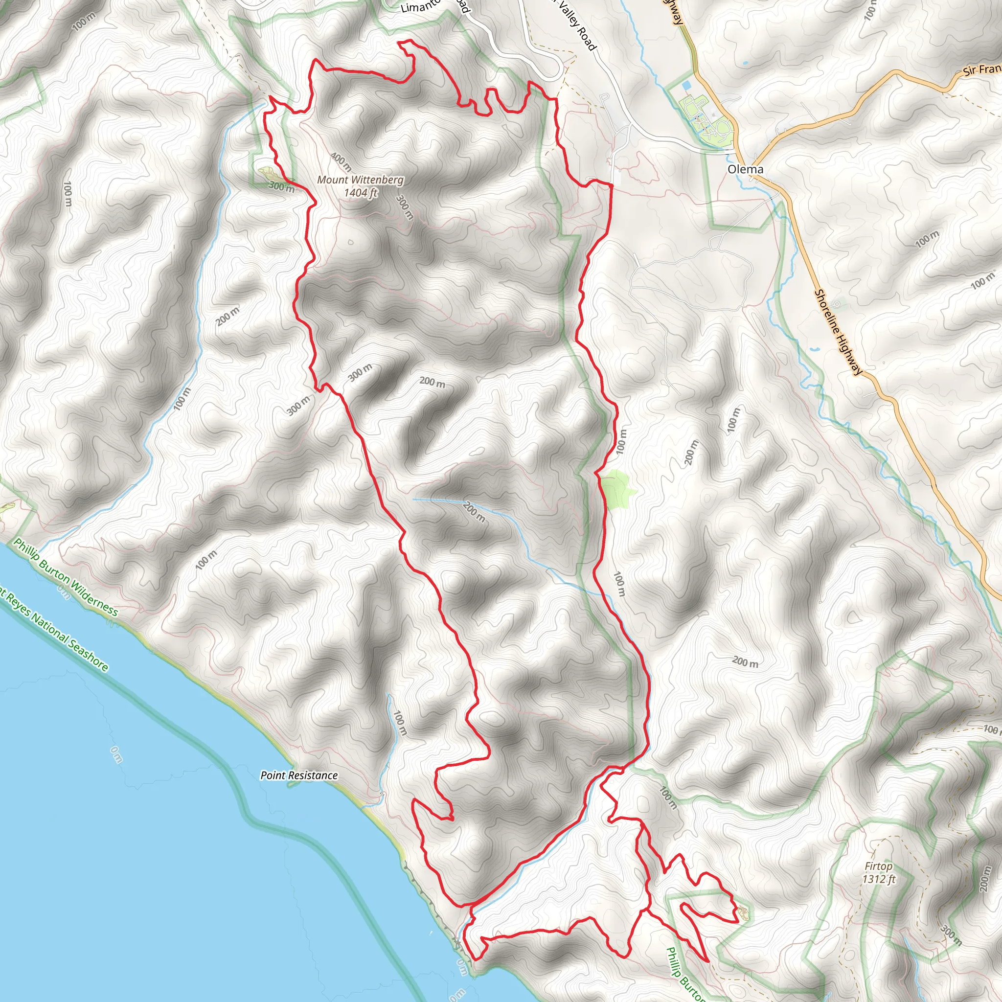
Nestled in the scenic Point Reyes National Seashore, near Marin County, California, the Bear Valley Loop is a captivating trail that spans approximately 26 kilometers (16 miles) and ascends roughly 700 meters (about 2300 feet) in elevation. This loop trail is rated as medium difficulty, offering a blend of gentle stretches and more challenging inclines that will appeal to a wide range of hikers.
Getting to the Trailhead
To reach the trailhead, hikers can drive to the Bear Valley Visitor Center, which is the main visitor center for Point Reyes National Seashore. The address is 1 Bear Valley Visitor Center Access Road, Point Reyes Station, CA 94956. For those preferring public transportation, the West Marin Stagecoach provides service to the area, with the closest stop being in Point Reyes Station. From there, it's a short taxi or bike ride to the visitor center.
Navigating the Trail
The Bear Valley Loop begins at the visitor center, where hikers can use the HiiKER app to help navigate the trail. The loop is well-marked, but having a digital tool can enhance the experience by providing real-time location tracking and additional trail information.
Trail Experience
As you embark on the Bear Valley Loop, the initial segment of the trail is relatively flat and meanders through lush meadows and dense Douglas fir forests. The tranquility of the forest is occasionally punctured by the calls of local bird species, and it's not uncommon to spot deer grazing in the early morning or late afternoon.
Approximately 3.5 miles in, you'll reach Divide Meadow, a serene spot that's perfect for a short rest. Continuing on, the trail begins to ascend more steeply as you approach Mount Wittenberg. The climb is gradual but persistent, and as you gain elevation, you'll be rewarded with increasingly impressive views of the surrounding landscape.
Historical Significance and Wildlife
The Point Reyes area is rich in history, with the Coast Miwok Native Americans having inhabited the region for thousands of years. European explorers arrived in the 16th century, and the area has since been used for ranching and dairy farming, evidence of which can still be seen in the landscape.
The trail is also a haven for wildlife enthusiasts. In addition to deer, it's possible to encounter coyotes, bobcats, and a variety of bird species. The trail's proximity to the ocean means that marine life, such as seals and whales, can sometimes be spotted from higher vantage points during their respective migration seasons.
Coastal Views and Return Journey
After reaching the trail's highest point near Mount Wittenberg, the loop continues towards the coast, where hikers can enjoy the dramatic Pacific Ocean vistas. The descent towards the ocean is steep in places, so careful footing is advised.
The return segment of the loop follows the coastline, offering a different perspective and cooler temperatures as the ocean breeze provides a welcome respite. The trail then cuts back inland, leading hikers through a series of valleys and small creeks, eventually closing the loop back at the Bear Valley Visitor Center.
Preparation and Safety
Given the trail's length and varied terrain, it's important to come prepared with adequate water, snacks, and layers of clothing to adjust for changing weather conditions. Sturdy hiking boots are recommended, as the trail can be rocky and uneven in places. Always check the weather forecast and trail conditions before setting out, and be aware that cell service can be spotty, so plan accordingly.
Remember, the Bear Valley Loop is a journey through a protected national seashore, so it's crucial to practice Leave No Trace principles to preserve the beauty and integrity of the environment for future visitors.
What to expect?
Activity types
Comments and Reviews
User comments, reviews and discussions about the Bear Valley Loop, California.
4.6
average rating out of 5
10 rating(s)

