Pacific Crest Trail - Central California trail stages
stage 1
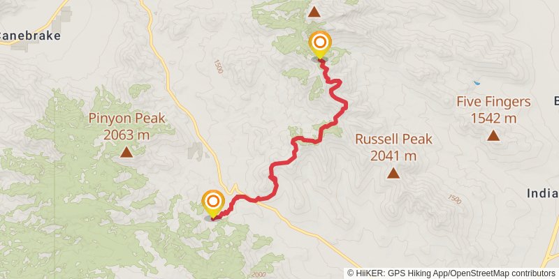
Starting at: Kern County, 93255
Ending at: Onyx, Kern County, 93255
Distance: 14.9 km
Elevation gain: 913 m
Duration: 04:30:15
stage 2
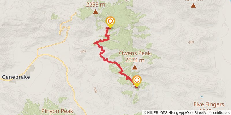
Starting at: Tulare County, 93255
Ending at: Onyx, Kern County, 93255
Distance: 16.1 km
Elevation gain: 790 m
Duration: 04:32:06
stage 3
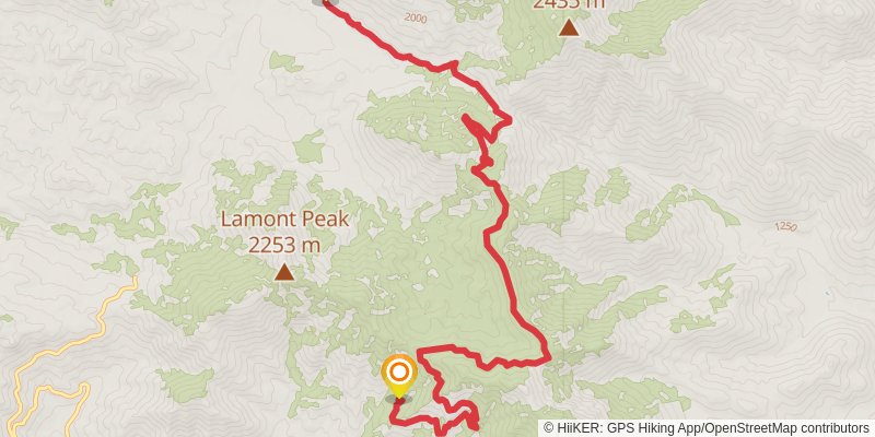
Starting at: Tulare County, 93255
Ending at: Inyokern, Tulare County, 93527
Distance: 15.4 km
Elevation gain: 859 m
Duration: 04:31:16
stage 4
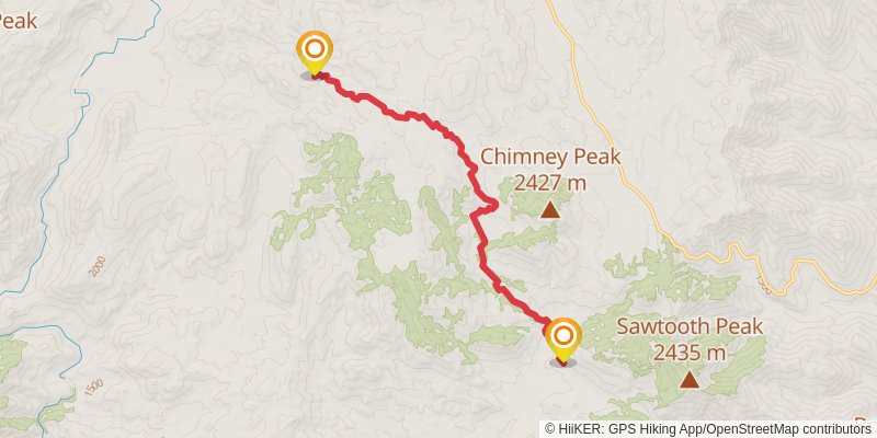
Starting at: Tulare County, 93527
Ending at: Inyokern, Tulare County, 93527
Distance: 14.9 km
Elevation gain: 907 m
Duration: 04:30:04
stage 5
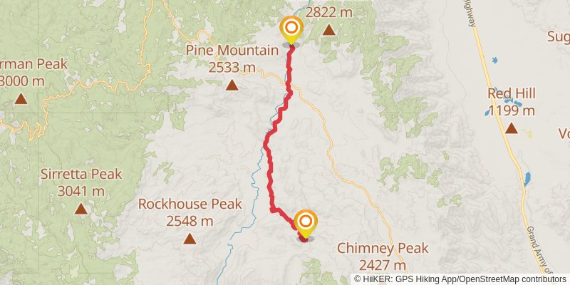
stage 6
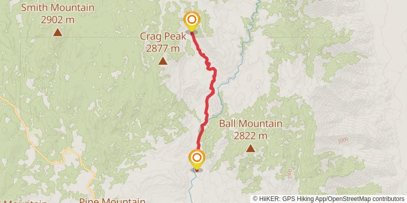
Ending at: Inyokern, Tulare County, 93527
Distance: 10.9 km
Elevation gain: 703 m
Duration: 03:20:39
stage 7
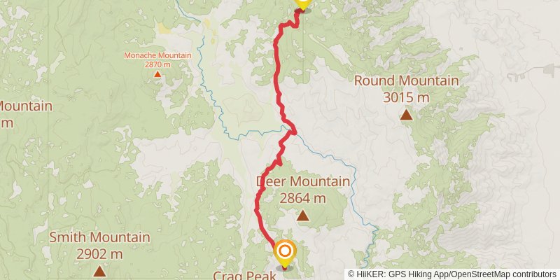
Starting at: Tulare County, 93527
Ending at: Tulare County
Distance: 15.6 km
Elevation gain: 855 m
Duration: 04:32:18
stage 8
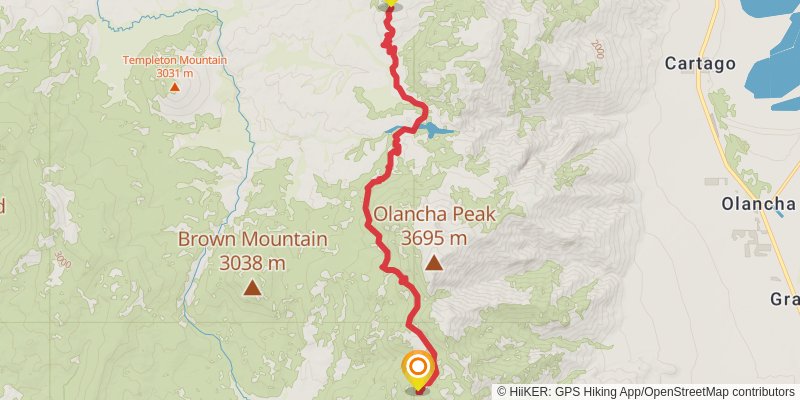
Starting at: Tulare County
Ending at: Tulare County
Distance: 17.4 km
Elevation gain: 619 m
Duration: 04:30:09
stage 9
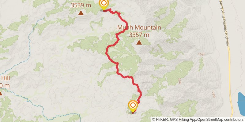
Starting at: Tulare County
Ending at: Tulare County
Distance: 18.7 km
Elevation gain: 813 m
Duration: 05:05:43
stage 10
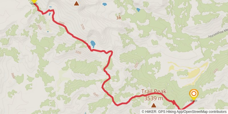
Starting at: Mulkey Pass, Inyo County
Ending at: Tulare County
Distance: 15.2 km
Elevation gain: 538 m
Duration: 03:55:49
stage 11
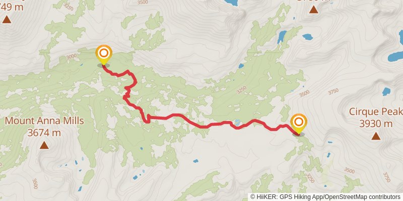
Starting at: Tulare County
Ending at: Tulare County
Distance: 9.0 km
Elevation gain: 36 m
Duration: 01:51:40
stage 12
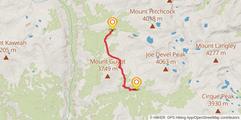
stage 13
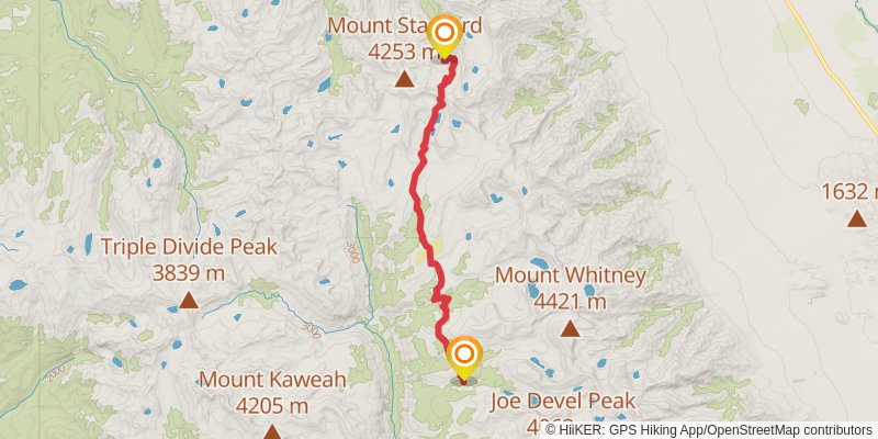
spur 1
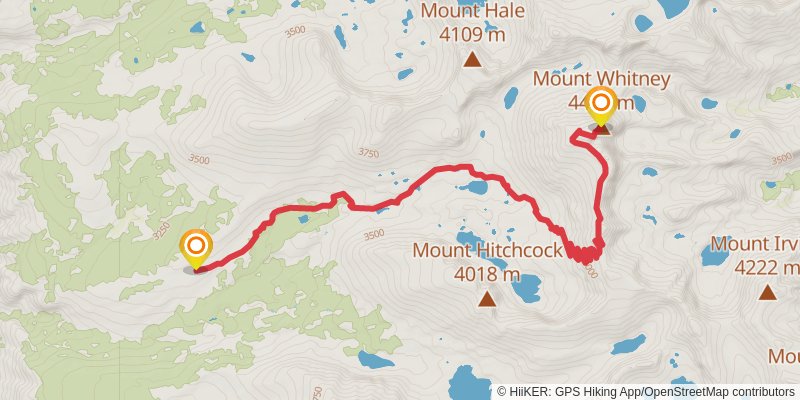
Starting at: Tulare County
Ending at: Smithsonian Institution Shelter, Inyo County
Distance: 13.0 km
Elevation gain: 1378 m
Duration: 04:53:33
stage 14
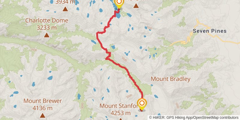
Starting at: Camp Area. 11,300ft, Tulare County
Ending at: Fresno County
Distance: 17.5 km
Elevation gain: 928 m
Duration: 05:03:20
spur 2
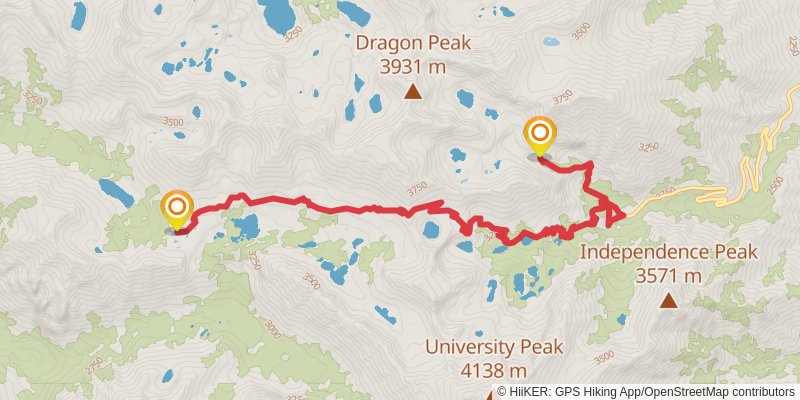
Starting at: Fresno County
Ending at: Independence, Inyo County, 93526
Distance: 14.4 km
Elevation gain: 1115 m
Duration: 04:43:56
stage 15
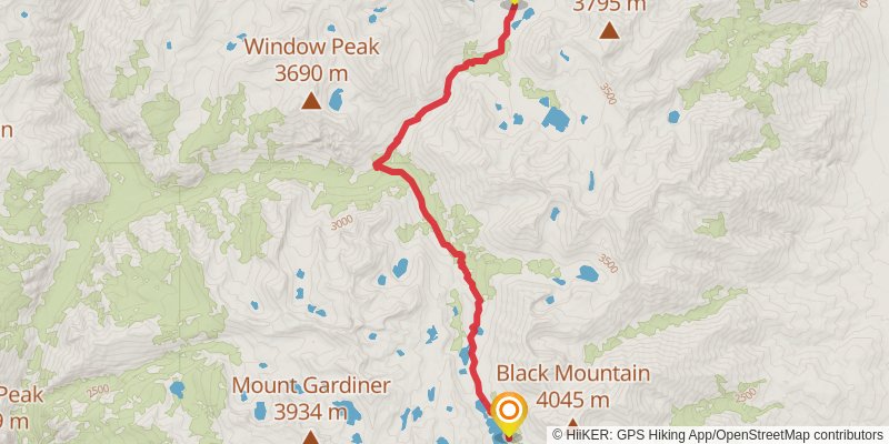
stage 16
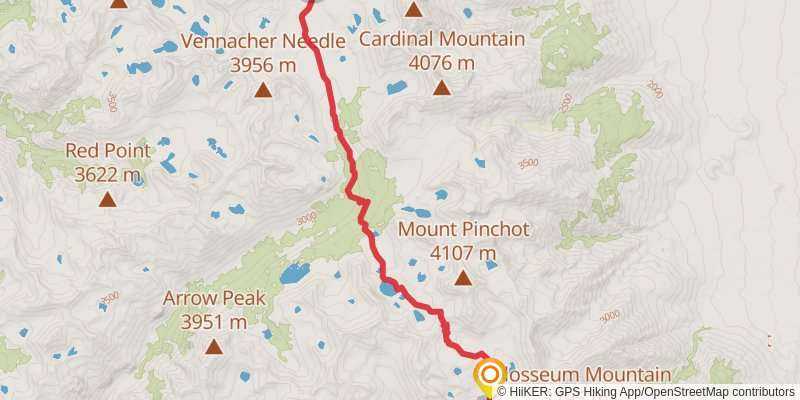
Starting at: Fresno County
Ending at: Fresno County
Distance: 17.7 km
Elevation gain: 919 m
Duration: 05:04:53
stage 17
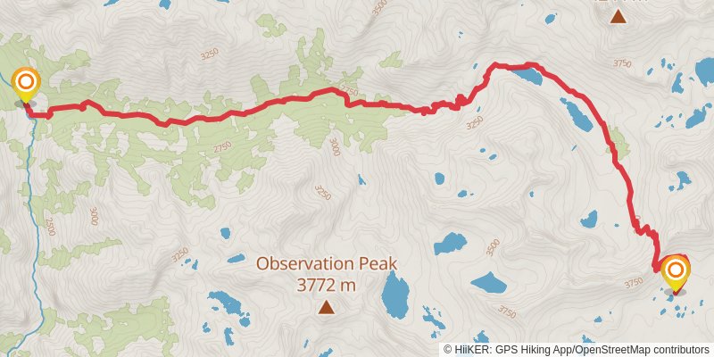
Starting at: Fresno County
Ending at: Fresno County
Distance: 18.9 km
Elevation gain: 441 m
Duration: 04:31:07
stage 18
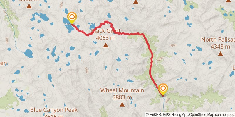
Starting at: Middle Fork Kings River, Fresno County
Ending at: Lakeshore, Fresno County, 93634
Distance: 19.3 km
Elevation gain: 1385 m
Duration: 06:09:46
stage 19
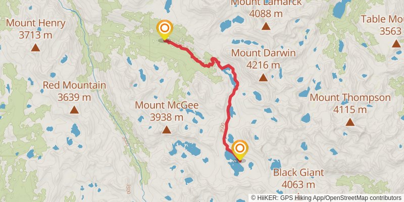
Starting at: Fresno County, 93634
Ending at: Lakeshore, Fresno County, 93634
Distance: 13.0 km
Elevation gain: 159 m
Duration: 02:51:36
stage 20
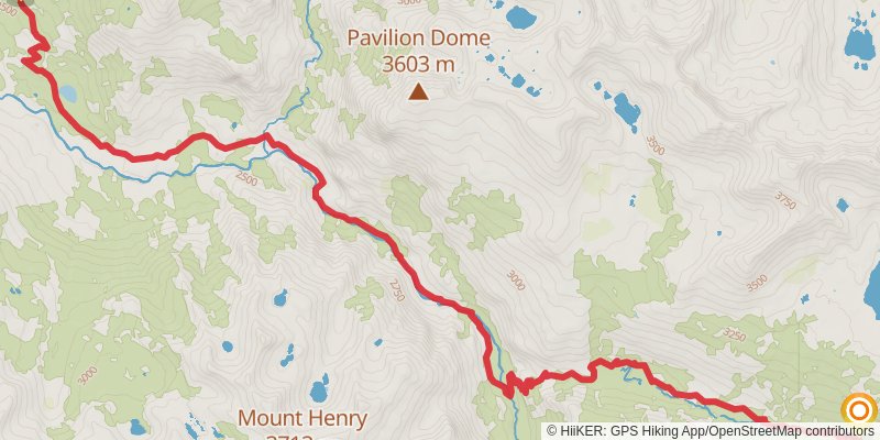
Starting at: campsite, Lakeshore, Fresno County, 93634
Ending at: Lakeshore, Fresno County, 93634
Distance: 18.2 km
Elevation gain: 385 m
Duration: 04:16:47
stage 21
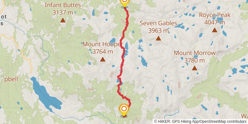
Starting at: Fresno County, 93634
Ending at: Lakeshore, Fresno County, 93634
Distance: 16.1 km
Elevation gain: 911 m
Duration: 04:44:16
stage 22
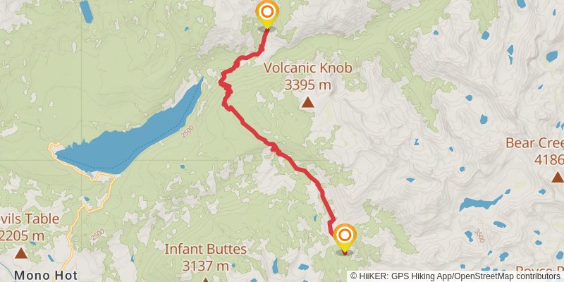
Starting at: Bear Creek, Lakeshore, Fresno County, 93634
Ending at: Lakeshore, Fresno County, 93634
Distance: 17.0 km
Elevation gain: 664 m
Duration: 04:30:12
stage 23
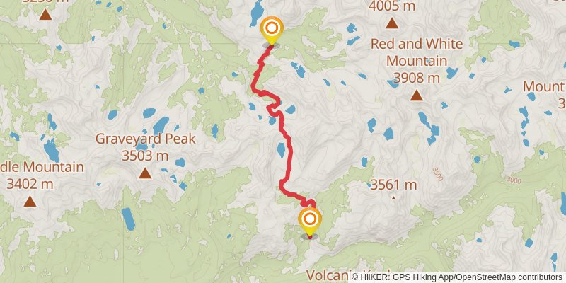
Ending at: Lakeshore, Fresno County, 93634
Distance: 14.2 km
Elevation gain: 996 m
Duration: 04:30:03
stage 24
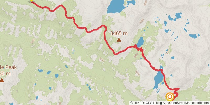
Starting at: Madera County, 93634
Ending at: Mammoth Lakes, Fresno County, 93634
Distance: 16.3 km
Elevation gain: 751 m
Duration: 04:30:54
spur 3
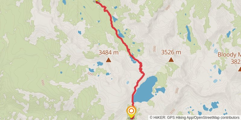
Starting at: Mammoth Lakes, Fresno County, 93634
Distance: 8.8 km
Elevation gain: 342 m
Duration: 02:20:03
stage 25
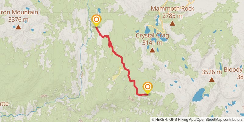
Starting at: Madera County, 93634
Ending at: Mammoth Lakes, Madera County
Distance: 11.7 km
Elevation gain: 95 m
Duration: 02:29:48
stage 26
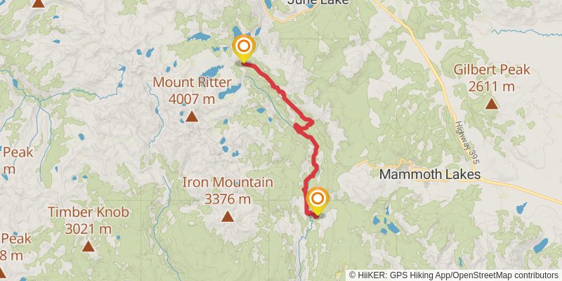
Starting at: Mammoth Lakes, Madera County
Ending at: June Lake, Madera County
Distance: 22.7 km
Elevation gain: 1207 m
Duration: 06:33:21
alt 1
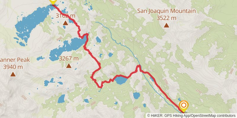
Starting at: Mammoth Lakes, Madera County
Ending at: June Lake, Madera County
Distance: 14.3 km
Elevation gain: 960 m
Duration: 04:27:27