The best hikes in Inyo County
California · 288 HiiKER Hikes
View Hikes on map
What to expect
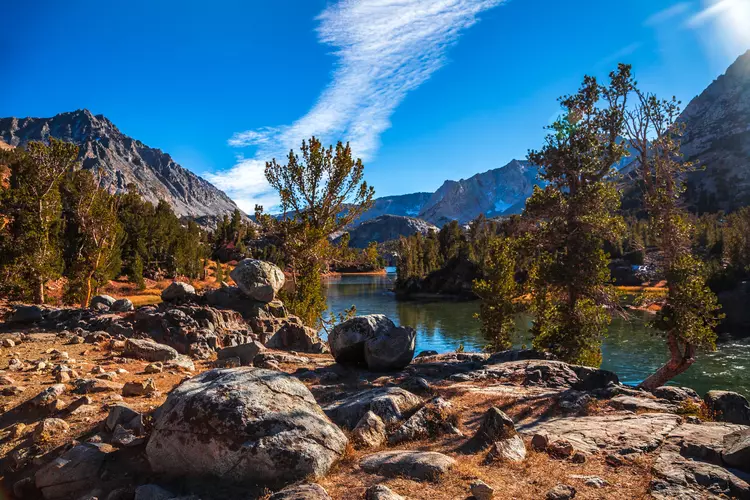
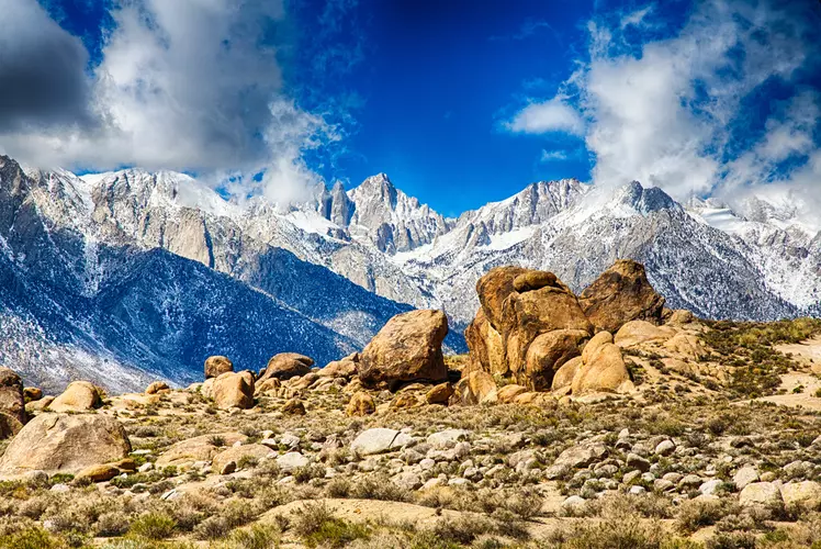
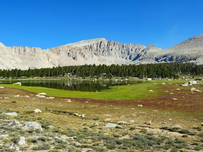
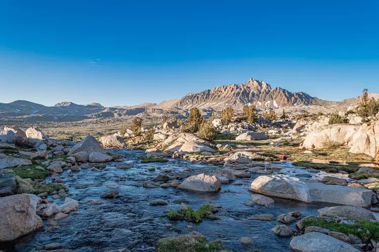
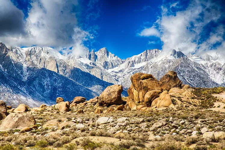
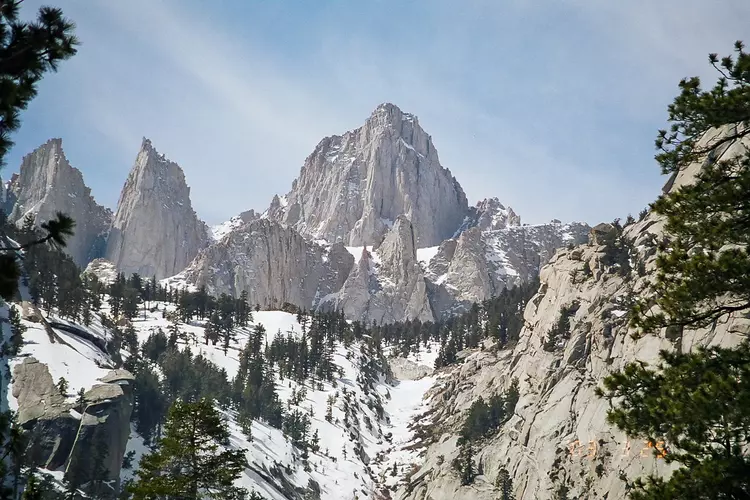
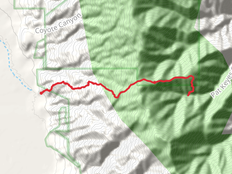
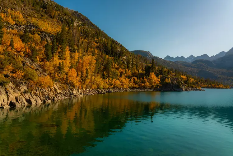
Check out some of the best hiking, walking and backpacking routes in Inyo County, California. The South Lake To North Lake is the most popular trail. The trails have 595 user reviews with great photos and information. There are trails of various difficulty levels including easy, medium, difficult, and extra difficult. The trail with the highest elevation climb is the Lowest to Highest Route and the trail with the least amount of climbing is the Badwater Basin Salt Flats Trail. The longest trail is the Lowest to Highest Route at 212.9 km. For a shorter adventure you can try the Artists Palette Road Walk at 500 m. Get off line access to History, Campsite, Water, and Peak locations and much more with a Hiiker subscription.

Be prepared for hiking in California with the HiiKER app