The best hikes in CAL Fire Ventura County
California · 4 HiiKER Hikes
View Hikes on map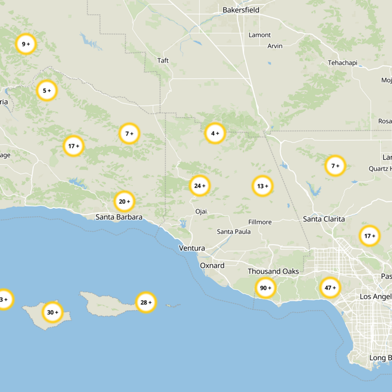
What to expect
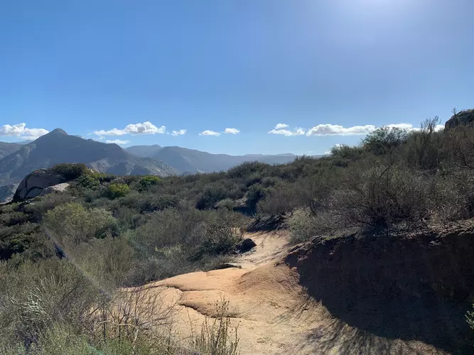
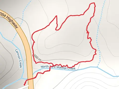
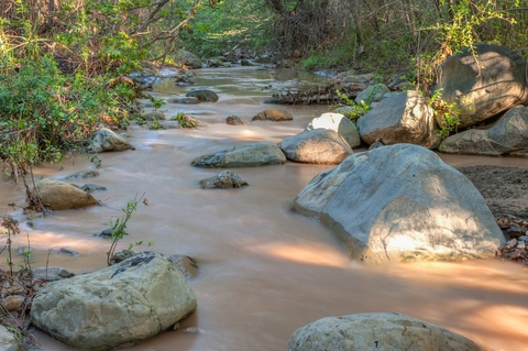
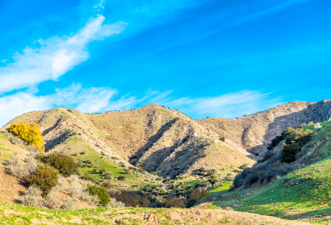
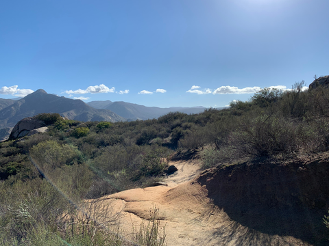
Check out some of the best hiking, walking and backpacking routes in CAL Fire Ventura County, California. The Cedar Creek Trail is the most popular trail. There are trails of various difficulty levels including medium and difficult. The trail with the highest elevation climb is the Cedar Creek Trail and the trail with the least amount of climbing is the Wheeler Gorge Nature Trail. The longest trail is the Last Chance Trail via East Fork Trail at 32 km. For a shorter adventure you can try the Wheeler Gorge Nature Trail at 1 km. Get off line access to Healthcare, Peak, Campsite, and Water locations and much more with a Hiiker subscription.

Be prepared for hiking in California with the HiiKER app