The best hikes in Butte County
California · 27 HiiKER Hikes
View Hikes on map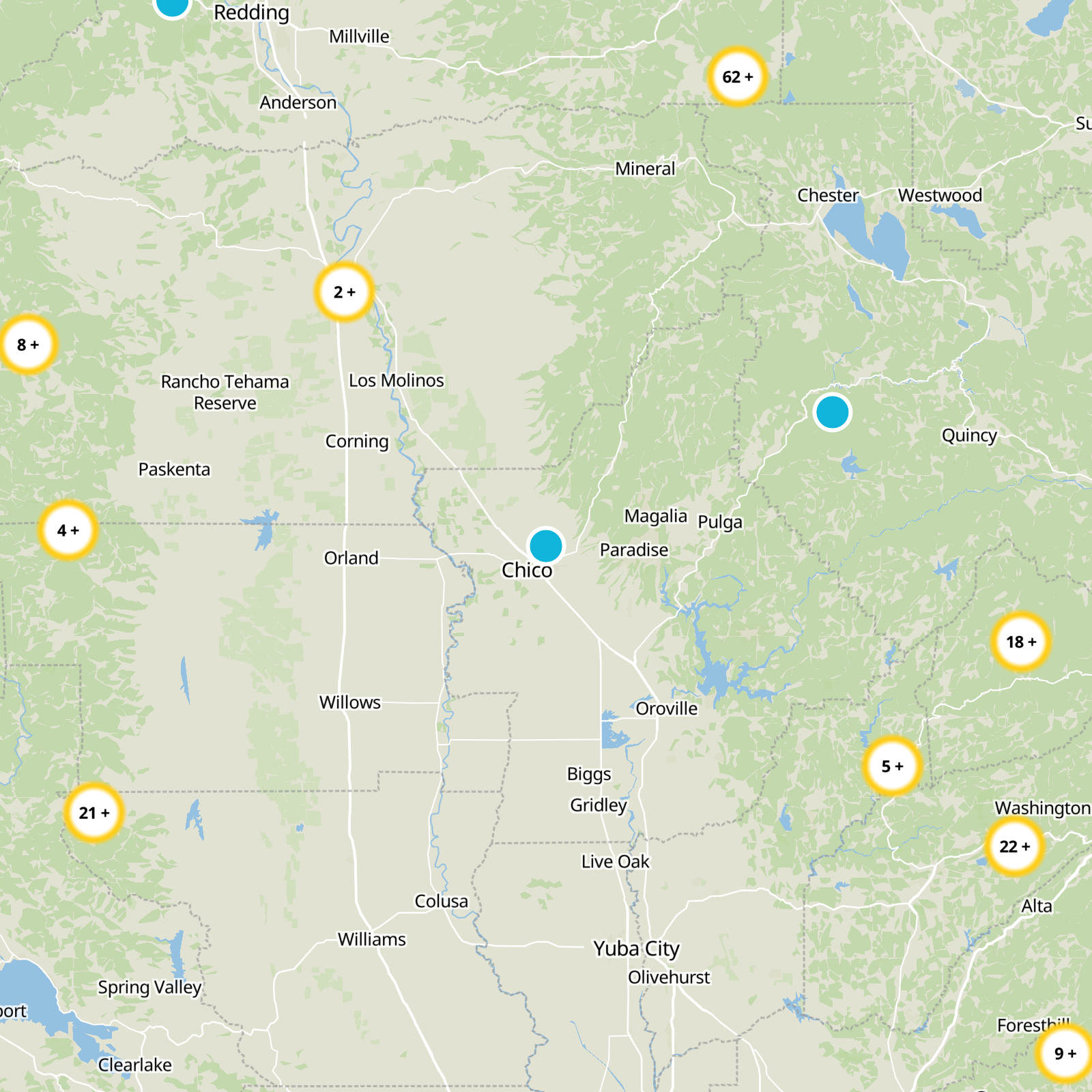

What to expect
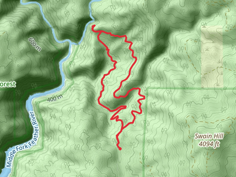
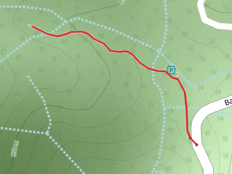
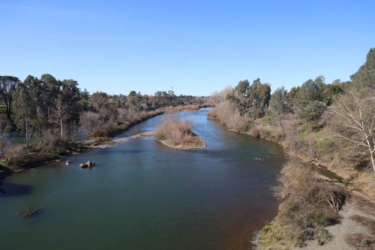
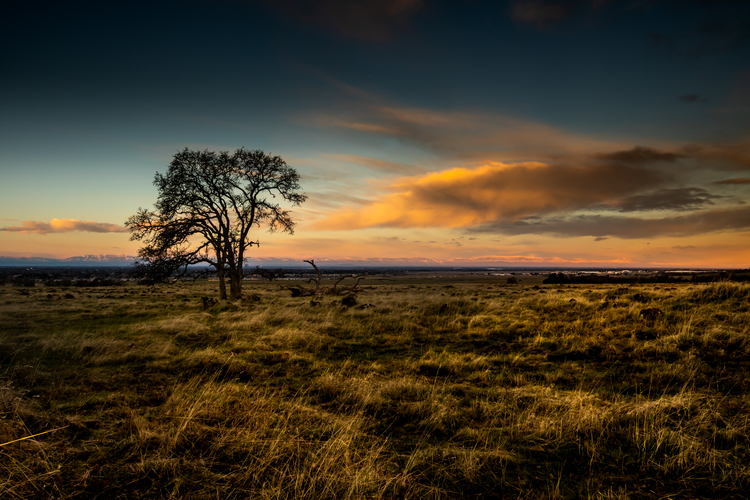
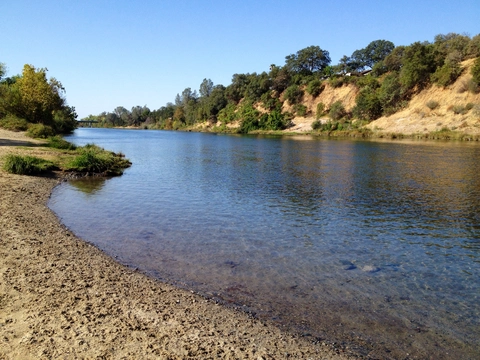
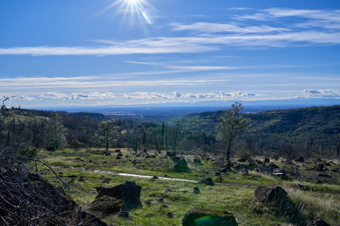
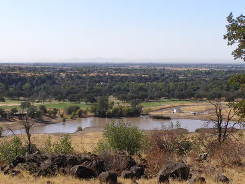
Check out some of the best hiking, walking and backpacking routes in Butte County, California. The Big Bald Rock Out and Back is the most popular trail. The trails have 73 user reviews with great photos and information. There are trails of various difficulty levels including easy, medium, and difficult. The trail with the highest elevation climb is the Big Bald Rock Out and Back and the trail with the least amount of climbing is the West Sacramento Avenue Loop. The longest trail is the North rimand Guardian Loop Trail at 23.9 km. For a shorter adventure you can try the Big Bald Rock Out and Back at 746 m. Get off line access to Healthcare, Fastfood, Restaurant, and Water locations and much more with a Hiiker subscription.

Be prepared for hiking in California with the HiiKER app