The best hikes in Amador County
California · 26 HiiKER Hikes
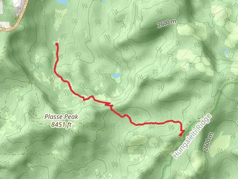
View Hikes on map


What to expect
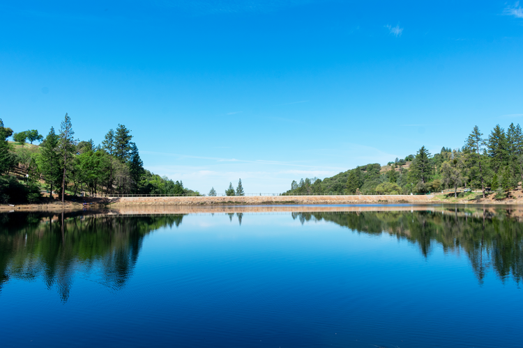
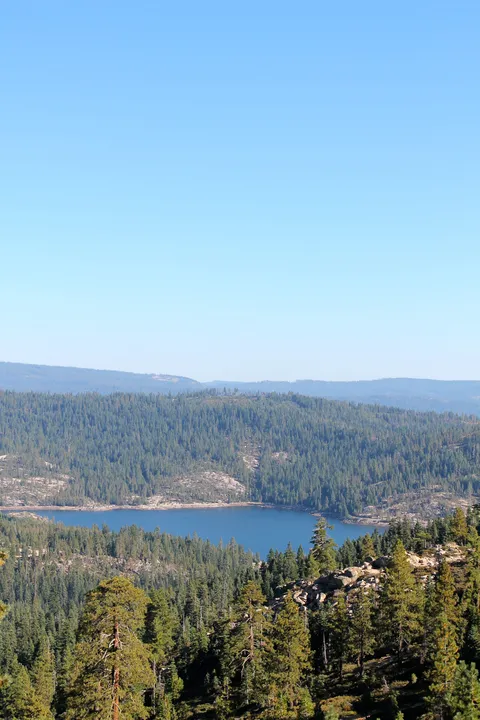
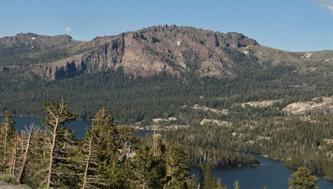
Check out some of the best hiking, walking and backpacking routes in Amador County, California. The Tanglefoot Trail is the most popular trail. There are trails of various difficulty levels including medium and difficult. The trail with the highest elevation climb is the Thunder Mountain Trail and the trail with the least amount of climbing is the Mokelumne Coast to Crest Loop Trail. The longest trail is the Tanglefoot Trail at 33.7 km. For a shorter adventure you can try the Mount Zion Demonstration Forest Loop at 1.8 km. Get off line access to Water, Campsite, Peak, and Bus Stop locations and much more with a Hiiker subscription.

Be prepared for hiking in California with the HiiKER app