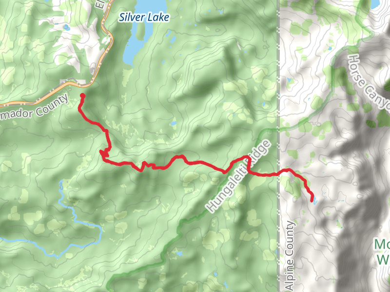
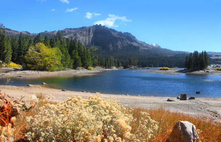
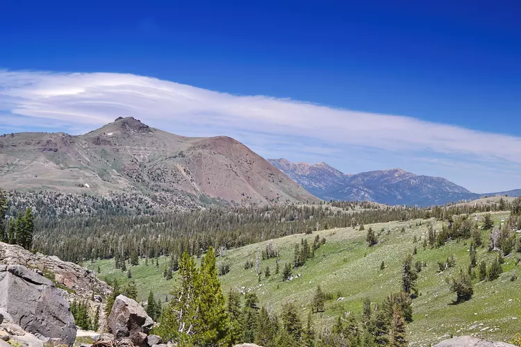
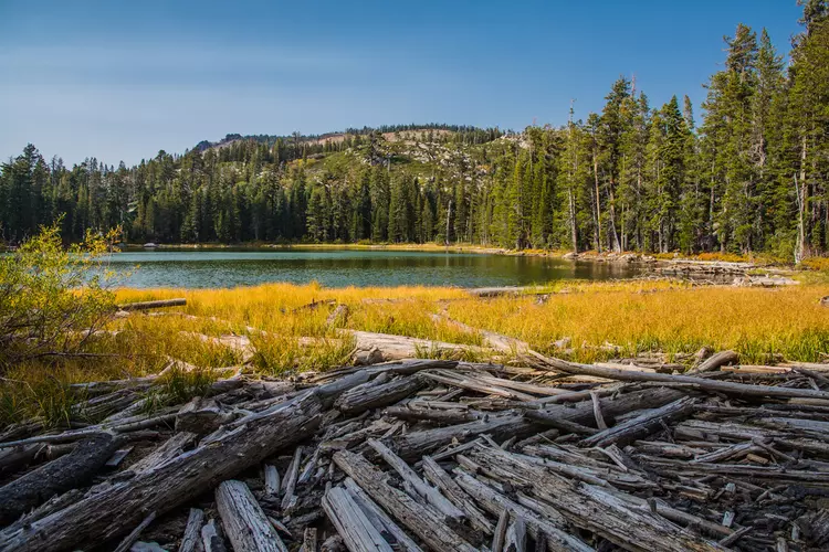
The best hikes in Alpine County
California · 172 HiiKER Hikes
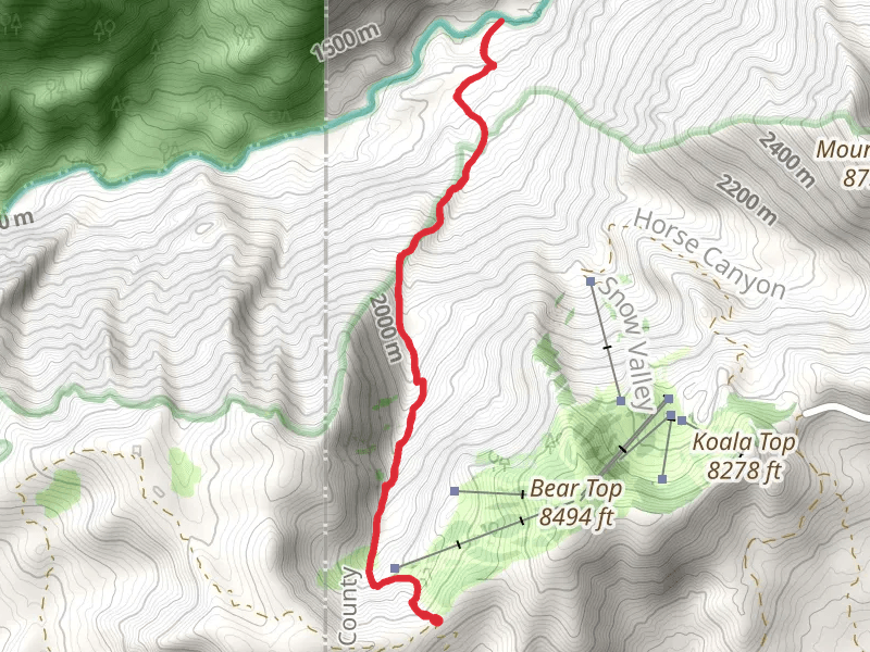
View Hikes on map
What to expect
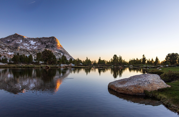
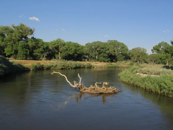
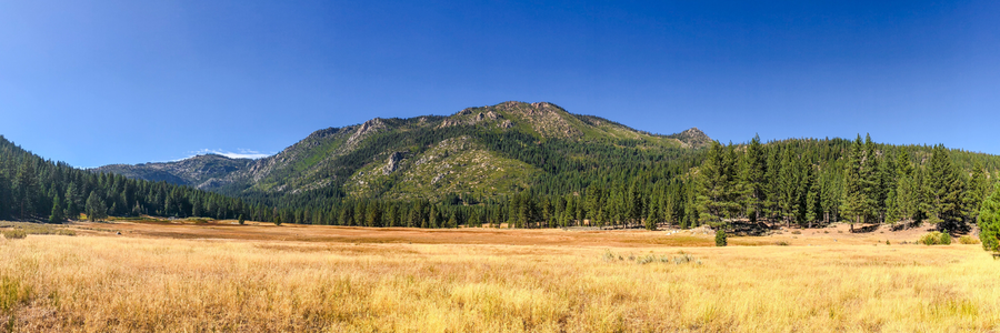
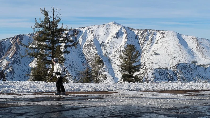
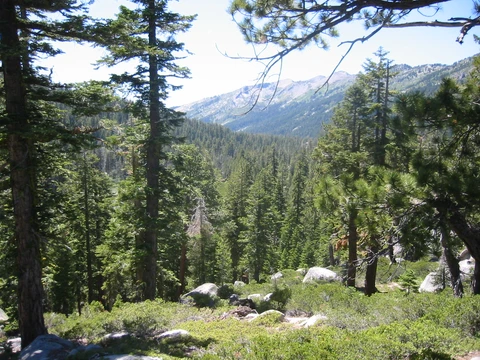
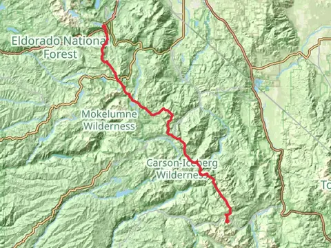
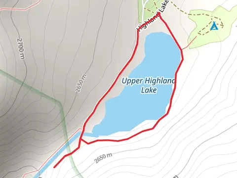
Check out some of the best hiking, walking and backpacking routes in Alpine County, California. The Beebe Lake Trail is the most popular trail. The trails have 399 user reviews with great photos and information. There are trails of various difficulty levels including easy, medium, difficult, and extra difficult. The trail with the highest elevation climb is the Leavitt Peak via Pacific Crest Trail and Sanora Pass and the trail with the least amount of climbing is the Walk along East Fork Carson River. The longest trail is the Pacific Crest National Scenic Trail - 2000 from Sonora Pass at 118.4 km. For a shorter adventure you can try the Silvertip Campground Road at 746 m. Get off line access to Water, Bus Stop, Campsite, and Peak locations and much more with a Hiiker subscription.

Be prepared for hiking in California with the HiiKER app