The best hikes in Bezirk Urfahr-Umgebung
Austria · 51 HiiKER Hikes
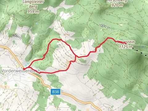
View Hikes on map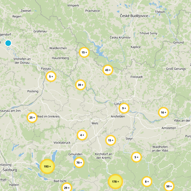

What to expect
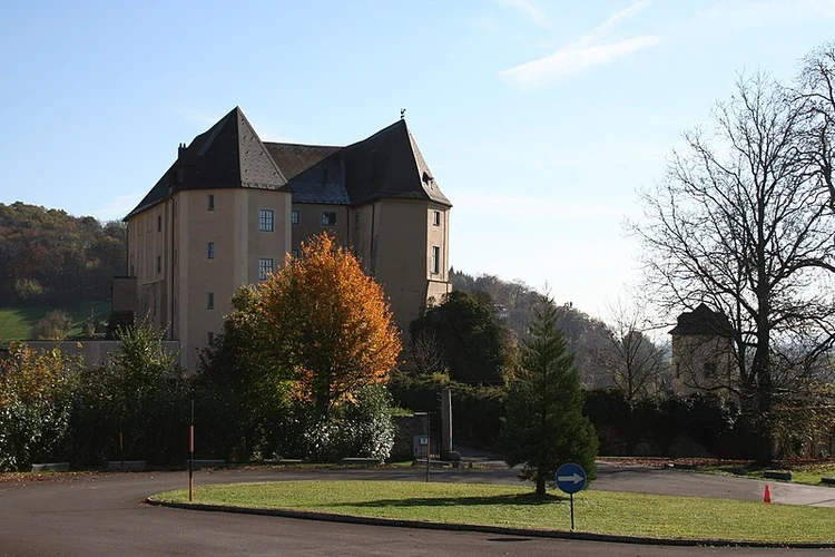
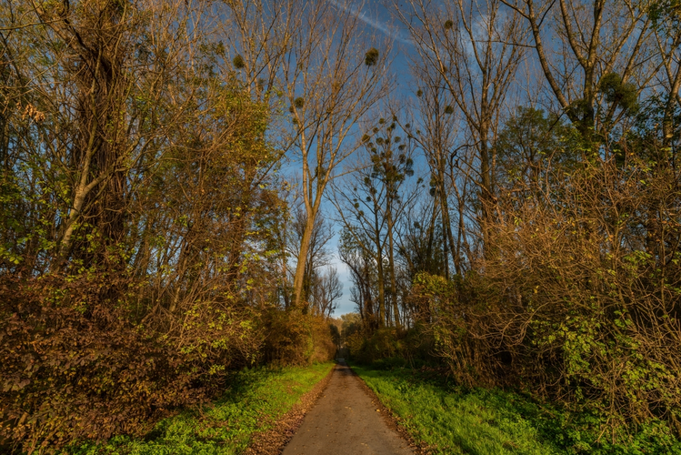
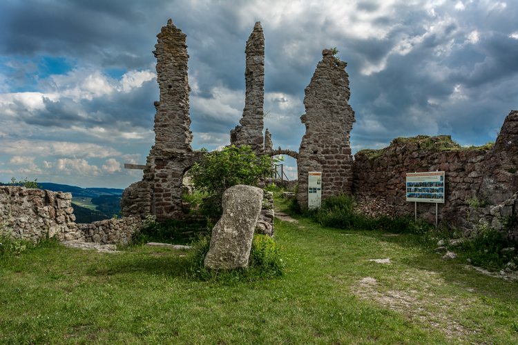
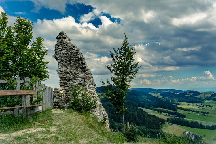
Check out some of the best hiking, walking and backpacking routes in Bezirk Urfahr-Umgebung, Austria. The V2 Steinerne Mühl Weg is the most popular trail. There are trails of various difficulty levels including easy and medium. The trail with the highest elevation climb is the Sternsteinweg - 24 and the trail with the least amount of climbing is the Feldkirchen Castle Loop Trail. The longest trail is the Salzstraßen-Runde at 35.0 km. For a shorter adventure you can try the Hubertusrunde at 958 m. Get off line access to Bus Stop, History, Shelter, and Restaurant locations and much more with a Hiiker subscription.

Be prepared for hiking in Austria with the HiiKER app