Lechweg trail stages
stage 1
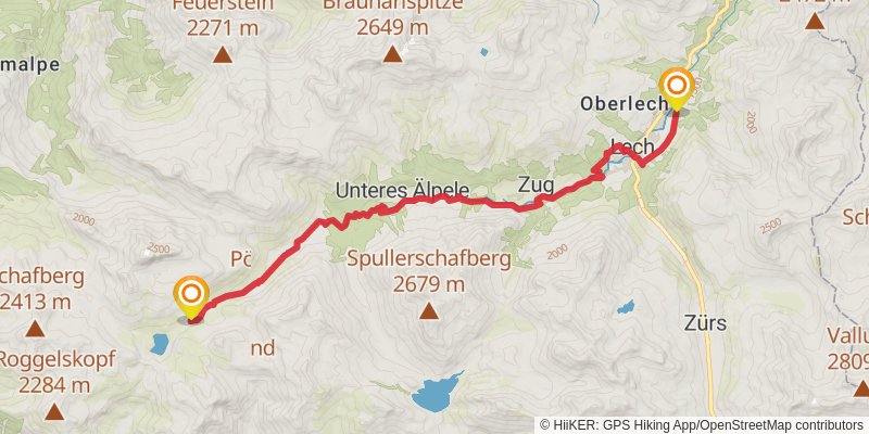
Starting at: Dalaas, Bludenz, 6752
Ending at: Gemeinde Lech, Bezirk Bludenz, 6764
Distance: 16.7 km
Elevation gain: 443 m
Duration: 04:05:00
alt 1
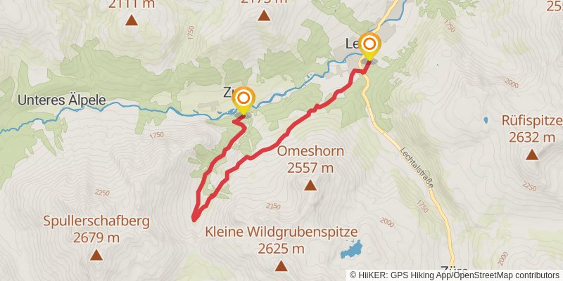
Starting at: VWW 17.132, Gemeinde Dalaas, Bezirk Bludenz, 6764
Ending at: Gemeinde Lech, Bezirk Bludenz, 6764
Distance: 7.4 km
Elevation gain: 459 m
Duration: 02:14:52
stage 2
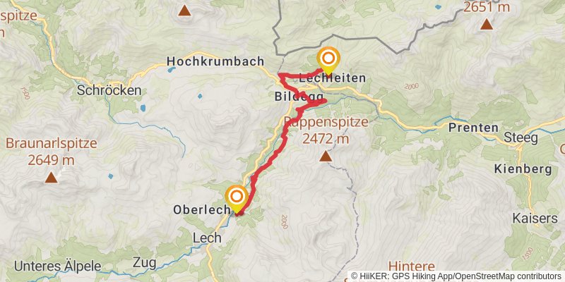
Starting at: Lech, Bludenz, 6764
Ending at: Gemeinde Steeg, Bezirk Reutte, 6767
Distance: 12.3 km
Elevation gain: 735 m
Duration: 03:40:54
stage 3
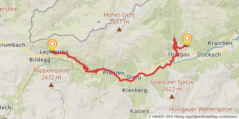
Starting at: Steeg, Reutte (Außerfern), 6767
Ending at: Gemeinde Bach, Bezirk Reutte, 6654
Distance: 21.3 km
Elevation gain: 957 m
Duration: 05:51:02
alt 2
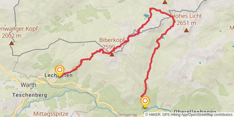
Ending at: Gemeinde Steeg, Bezirk Reutte, 6655
Distance: 13.9 km
Elevation gain: 1573 m
Duration: 05:23:46
spur 1
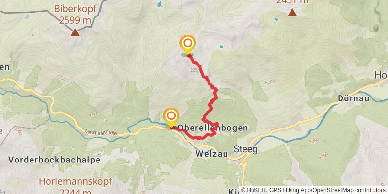
Starting at: Gemeinde Steeg, Bezirk Reutte, 6655
Distance: 5.1 km
Elevation gain: 1445 m
Duration: 03:25:54
alt 3
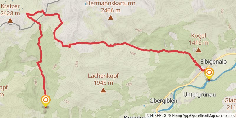
Starting at: Cafe Uta, Gemeinde Holzgau, Bezirk Reutte, 6654
Ending at: Gemeinde Elbigenalp, Bezirk Reutte, 6652
Distance: 16.8 km
Elevation gain: 1477 m
Duration: 05:49:21
stage 4
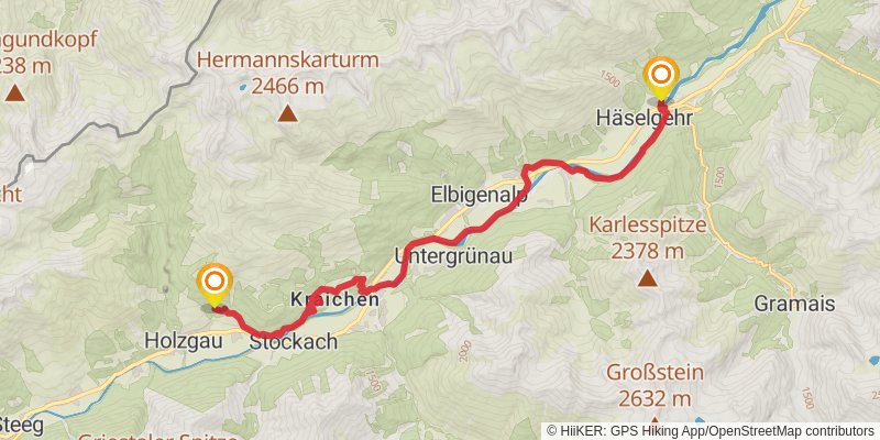
Starting at: Bach, Reutte (Außerfern), 6654
Ending at: Gemeinde Häselgehr, Bezirk Reutte, 6651
Distance: 16.6 km
Elevation gain: 678 m
Duration: 04:27:32
stage 5
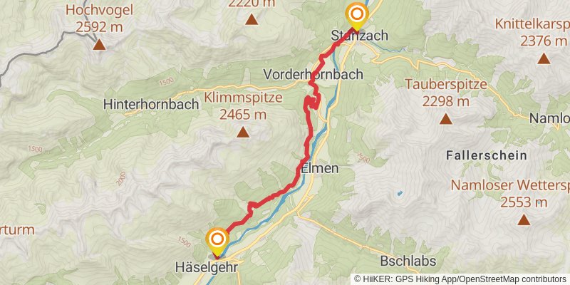
Starting at: Häselgehr, Reutte (Außerfern), 6651
Ending at: Gemeinde Stanzach, Bezirk Reutte, 6642
Distance: 14.3 km
Elevation gain: 782 m
Duration: 04:10:01
stage 6
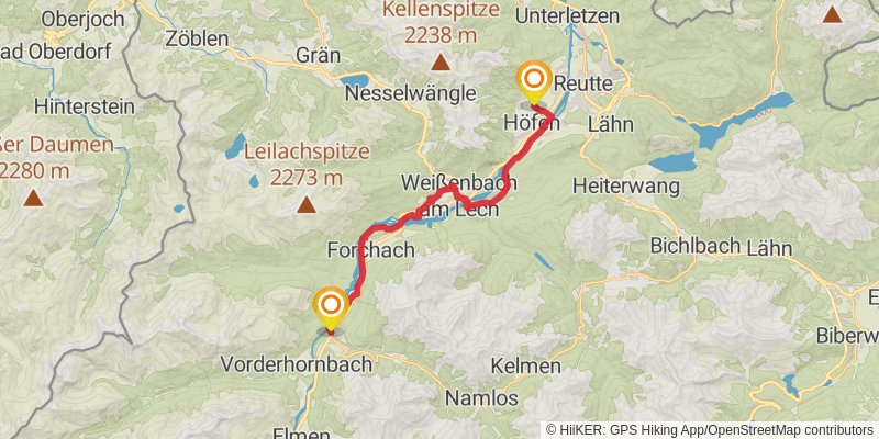
Starting at: Stanzach, Reutte (Außerfern), 6642
Ending at: Wängle, Gemeinde Wängle, Bezirk Reutte, 6610
Distance: 21.0 km
Elevation gain: 300 m
Duration: 04:41:34
stage 7
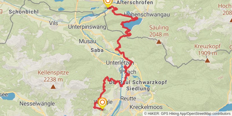
Starting at: Wängle, Reutte (Außerfern), 6610
Ending at: Lechfall, Füssen, Ostallgäu, 87629
Distance: 25.7 km
Elevation gain: 1216 m
Duration: 07:10:32