General Crook Trail trail stages
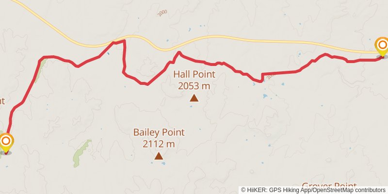
stage 1

Starting at: Clay Springs, Navajo County, 85923
Ending at: Overgaard, Navajo County, 85933
Distance: 17.6 km
Elevation gain: 268 m
Duration: 03:57:50
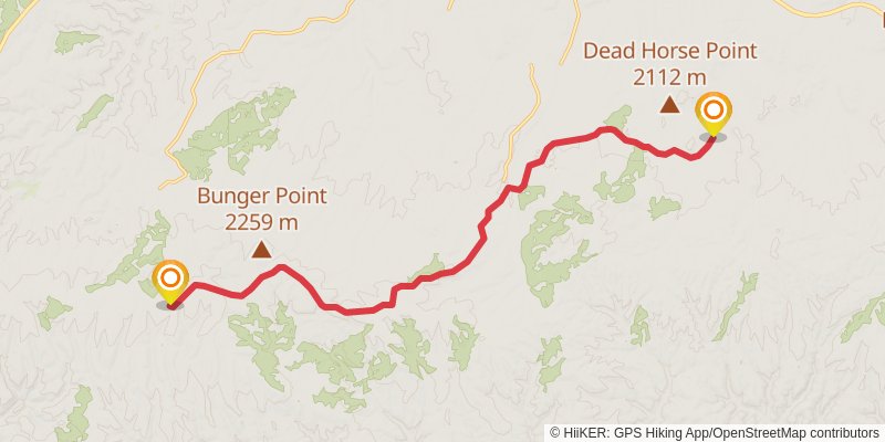
stage 2

Starting at: Overgaard, Navajo County, 85933
Ending at: Heber, Coconino County, 85928
Distance: 20.2 km
Elevation gain: 432 m
Duration: 04:45:36
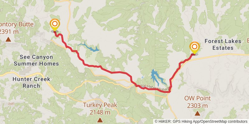
stage 3

Starting at: Heber, Coconino County, 85928
Distance: 21.3 km
Elevation gain: 299 m
Duration: 04:45:44
stage 4

Starting at: Forest Lakes, Forest Lakes, 85931
Ending at: Christopher Creek, Christopher Creek, 85931
Distance: 20.9 km
Elevation gain: 136 m
Duration: 04:23:50
stage 5

Starting at: Christopher Creek, Christopher Creek, 85931
Ending at: Gila County
Distance: 14.2 km
Elevation gain: 323 m
Duration: 03:23:14