The best hikes in Maricopa County
Arizona · 721 HiiKER Hikes
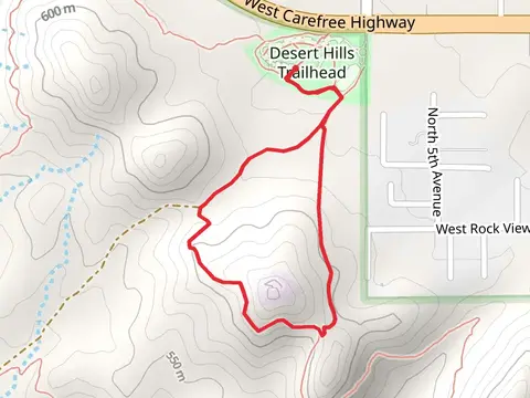
View Hikes on map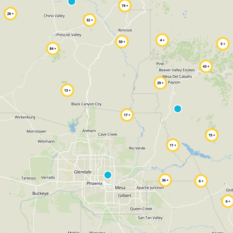

What to expect
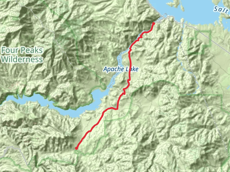
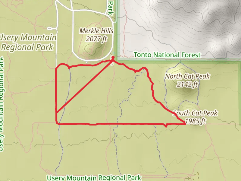
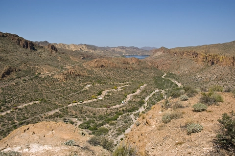
Check out some of the best hiking, walking and backpacking routes in Maricopa County, Arizona. The Saguaro Lake Vista Trail is the most popular trail. The trails have 9836 user reviews with great photos and information. There are trails of various difficulty levels including easy, medium, difficult, and extra difficult. The trail with the highest elevation climb is the Mazatzal Divide Trail and the trail with the least amount of climbing is the Maricopa Loop Trail from South 91st Aven. The longest trail is the Morristown to West Carefree Highway Horseshoe Trail at 58.8 km. For a shorter adventure you can try the Hole in the Rock at 438 m. Get off line access to Healthcare, Peak, Fastfood, and Shelter locations and much more with a Hiiker subscription.

Be prepared for hiking in Arizona with the HiiKER app