The best hikes in Graham County
Arizona · 66 HiiKER Hikes
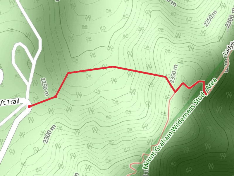
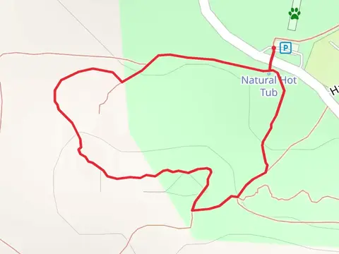
View Hikes on map

What to expect
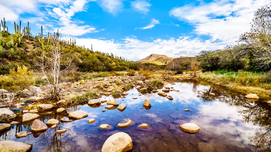
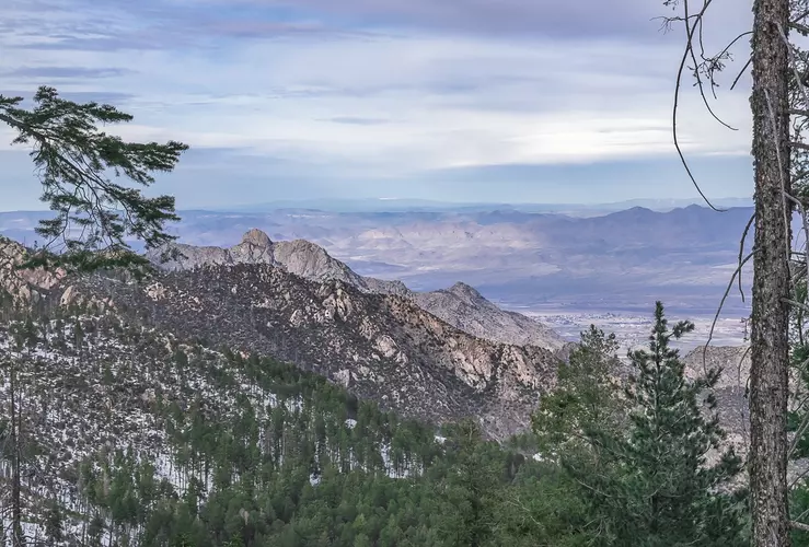
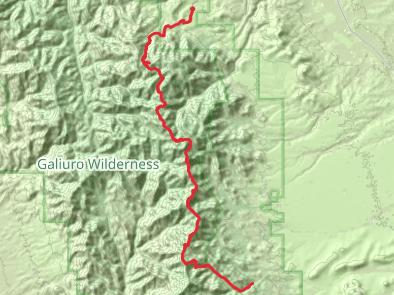
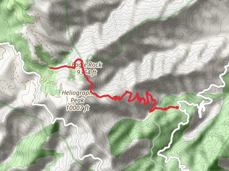
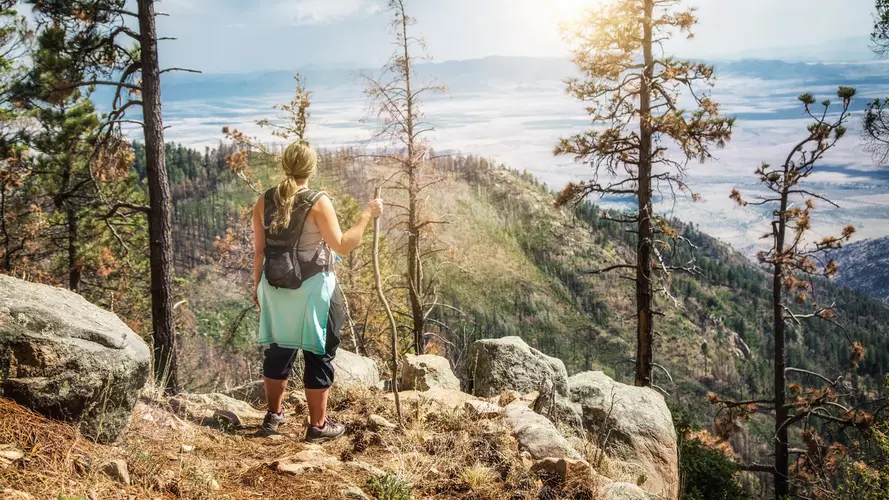
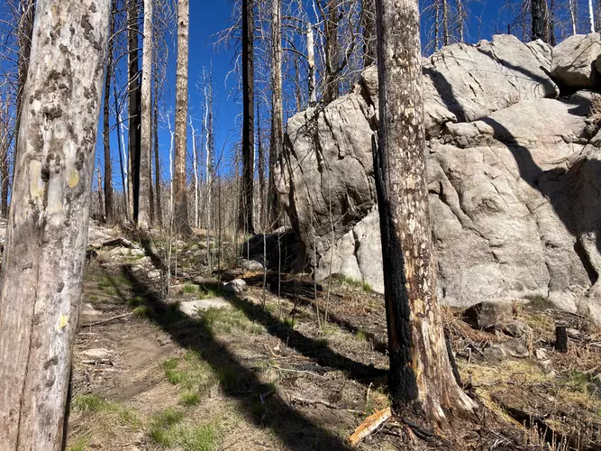
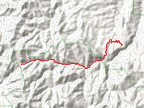
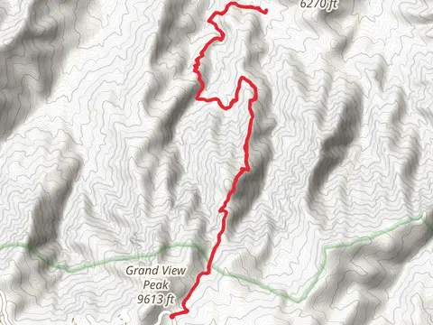
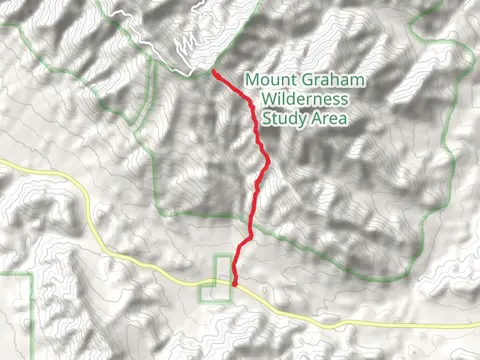
Check out some of the best hiking, walking and backpacking routes in Graham County, Arizona. The Sycamorevia East Divide Trail is the most popular trail. The trails have 303 user reviews with great photos and information. There are trails of various difficulty levels including easy, medium, difficult, and extra difficult. The trail with the highest elevation climb is the Deadman Highline Trail and the trail with the least amount of climbing is the Roper Lake State Park Loop. The longest trail is the Kennedy Peak via East Divide Trail at 70.2 km. For a shorter adventure you can try the Roper Lake State Park Loop at 529 m. Get off line access to Water, History, Campsite, and Peak locations and much more with a Hiiker subscription.

Be prepared for hiking in Arizona with the HiiKER app