The best hikes in Forest Lakes
Arizona · 13 HiiKER Hikes
View Hikes on map
What to expect
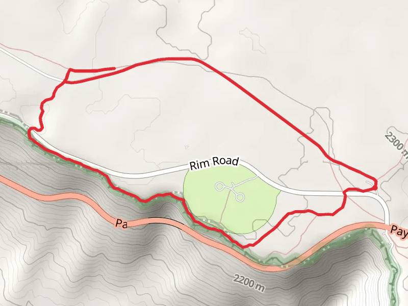
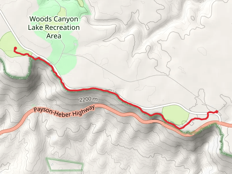
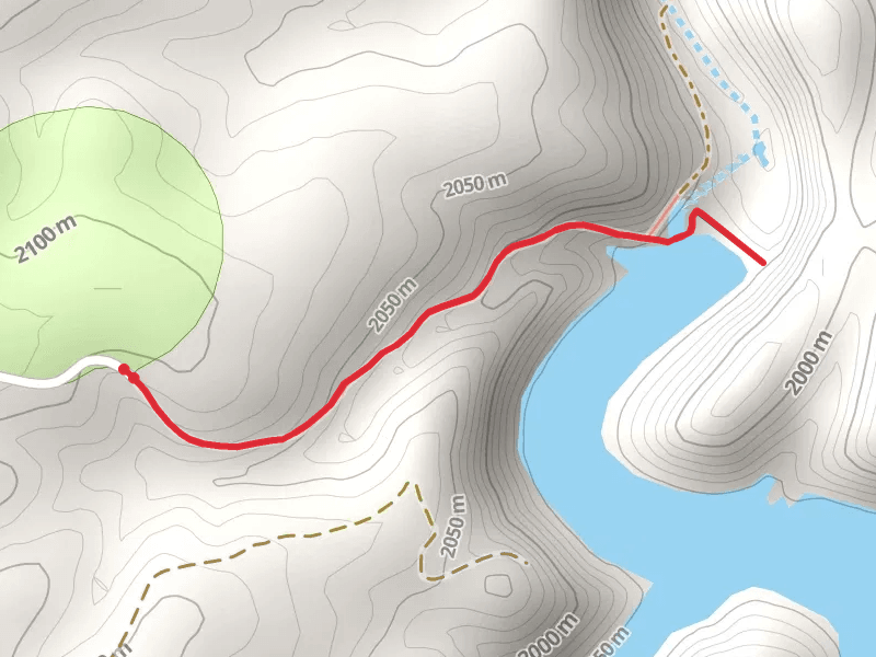
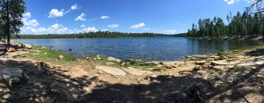
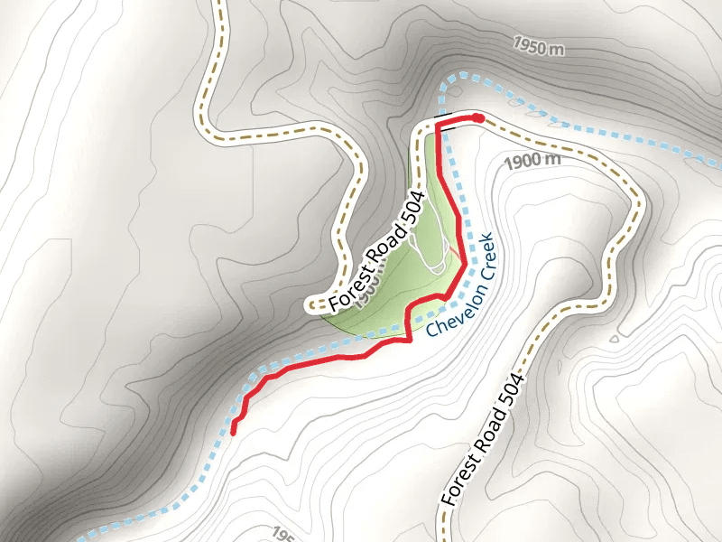
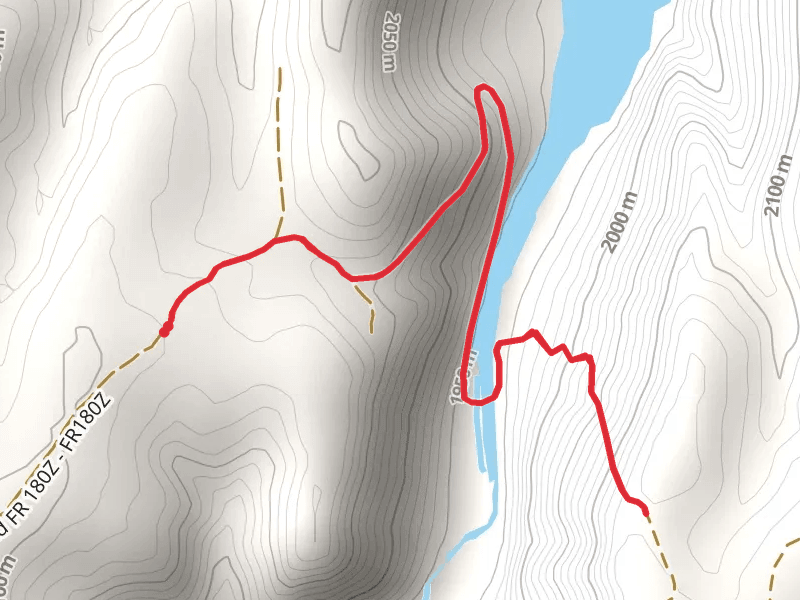
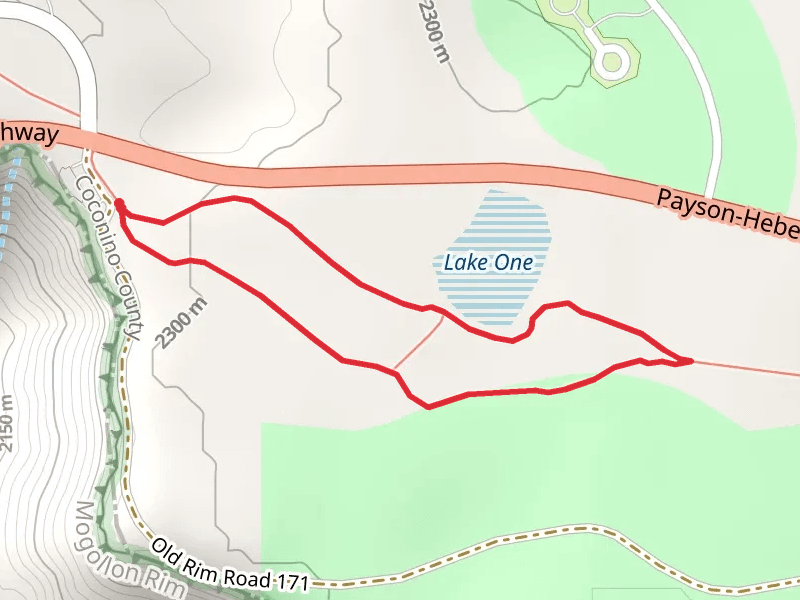
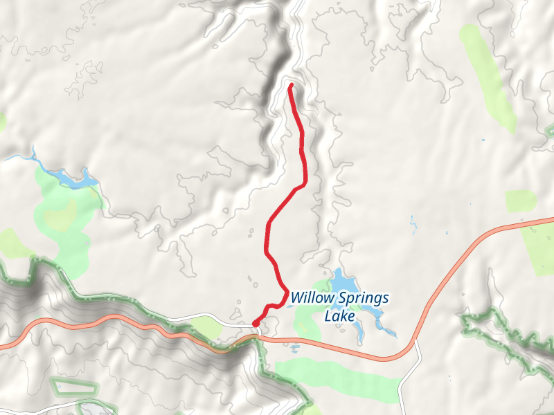
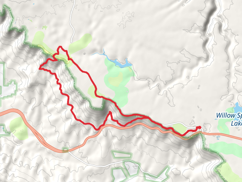
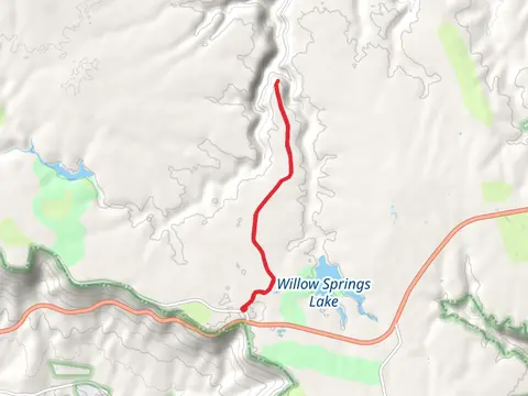
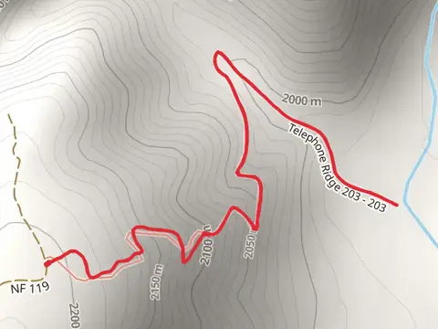
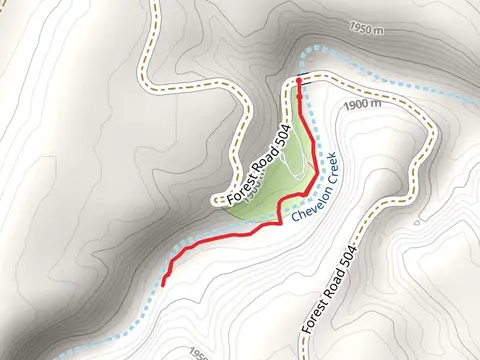
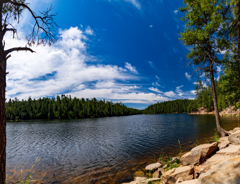
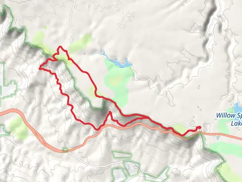
Check out some of the best hiking, walking and backpacking routes in Forest Lakes, Arizona. The Chevelon Lake Trail is the most popular trail. There are trails of various difficulty levels including easy and medium. The trail with the highest elevation climb is the Two-O-Eight Trail and the trail with the least amount of climbing is the Chevelon Crossing Trail. The longest trail is the Rim Lakes Vista Trail and Drew Canyon Trail Loop at 26.6 km. For a shorter adventure you can try the Two-O-Eight Trail at 893 m. Get off line access to History, Shelter, Water, and Campsite locations and much more with a Hiiker subscription.

Be prepared for hiking in Arizona with the HiiKER app