Great Eastern Trail (Incomplete) trail stages
stage 61
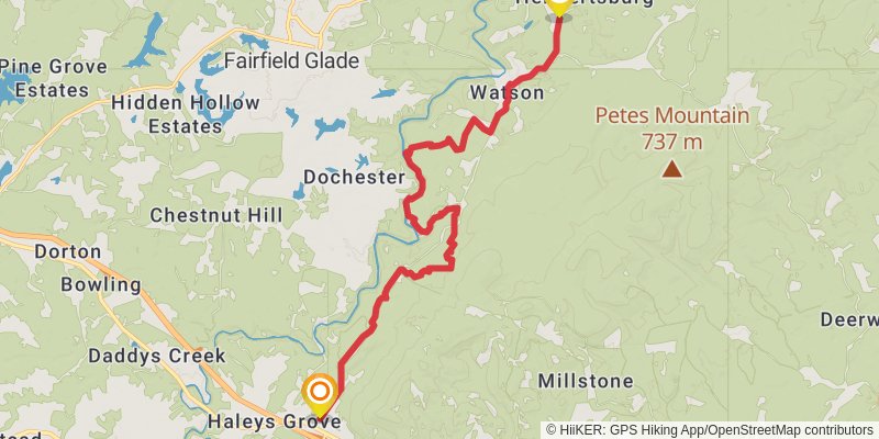
Starting at: Crab Orchard, Cumberland County, 37723
Ending at: Fairfield Glade, Cumberland County, 37723
Distance: 21.7 km
Elevation gain: 650 m
Duration: 05:25:43
View on mapstage 62
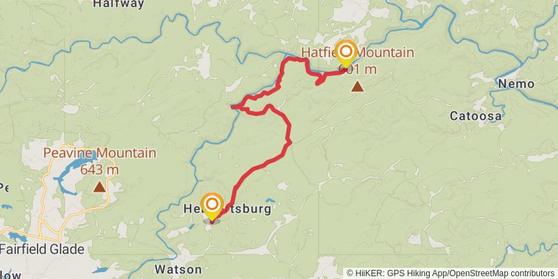
Ending at: Wartburg, Morgan County, 37887
Distance: 17.6 km
Elevation gain: 586 m
Duration: 04:30:07
View on mapstage 63
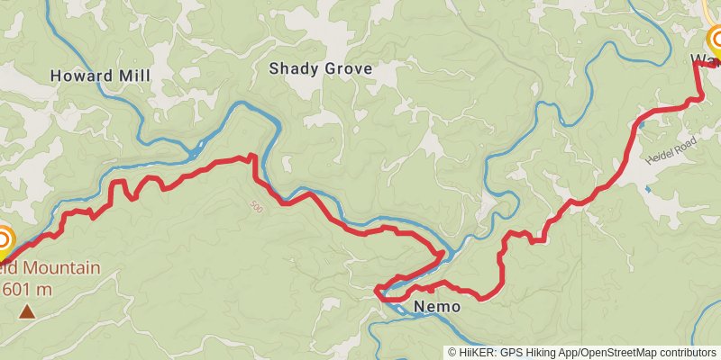
Starting at: Obed Junction, Morgan County, 37887
Ending at: Wartburg, Morgan County, 37887
Distance: 21.6 km
Elevation gain: 850 m
Duration: 05:44:41
View on mapstage 64
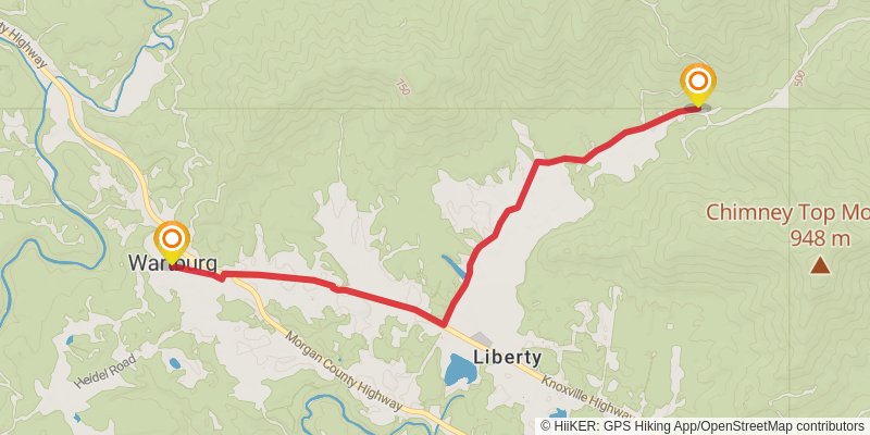
Starting at: Angie's Restaurant, Wartburg, Morgan County, 37887
Ending at: Petros, Morgan County, 37887
Distance: 9.4 km
Elevation gain: 111 m
Duration: 02:04:10
View on mapstage 65
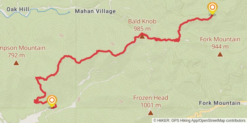
Starting at: Petros, Morgan County, 37887
Ending at: Briceville, Scott County, 37710
Distance: 17.1 km
Elevation gain: 1379 m
Duration: 05:42:35
View on mapstage 66
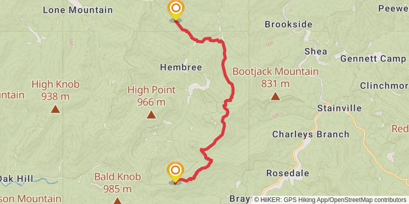
Starting at: Hembree, Scott County, 37710
Ending at: Huntsville, Scott County, 37756
Distance: 16.9 km
Elevation gain: 672 m
Duration: 04:29:58
View on mapstage 67
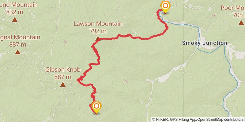
Starting at: Hembree, Scott County, 37756
Ending at: Huntsville, Scott County, 37756
Distance: 14.3 km
Elevation gain: 984 m
Duration: 04:30:20
View on mapstage 68
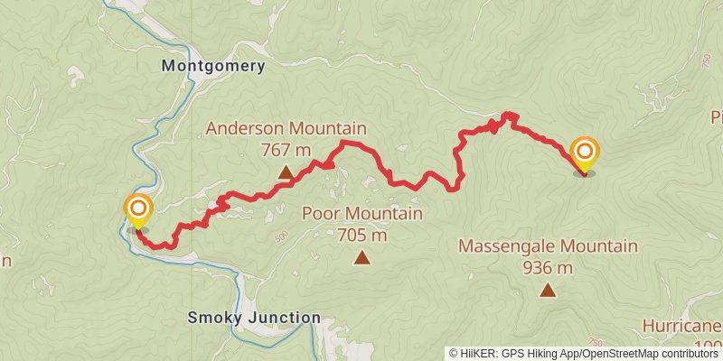
Starting at: Smoky Junction, Scott County, 37756
Ending at: Caryville, Campbell County, 37714
Distance: 13.8 km
Elevation gain: 1044 m
Duration: 04:30:19
View on mapstage 69
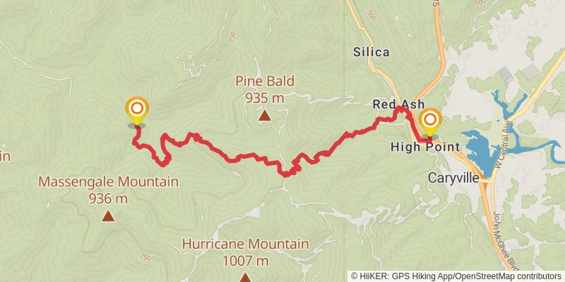
Starting at: Red Ash, Campbell County, 37714
Ending at: Caryville, Campbell County, 37714
Distance: 12.7 km
Elevation gain: 869 m
Duration: 03:59:26
View on mapstage 70
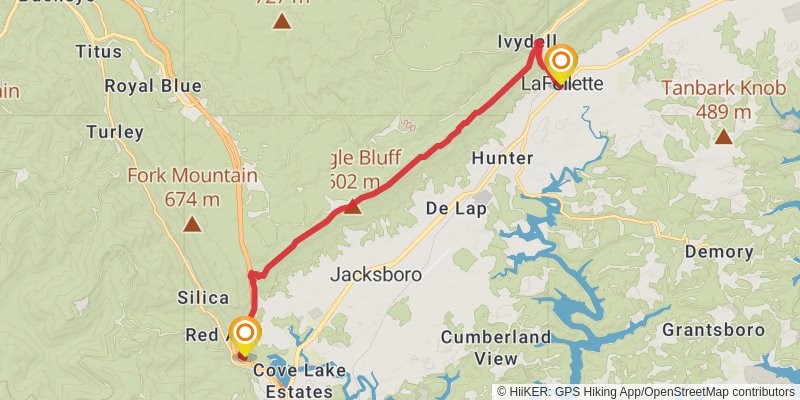
Starting at: Caryville, Campbell County, 37714
Ending at: La Follette, Campbell County, 37766
Distance: 17.9 km
Elevation gain: 1017 m
Duration: 05:16:39
View on mapstage 71
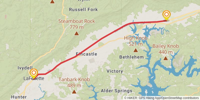
Starting at: La Follette, Campbell County, 37766
Ending at: Speedwell, Campbell County, 37870
Distance: 18.4 km
Elevation gain: 353 m
Duration: 04:15:49
View on mapstage 72
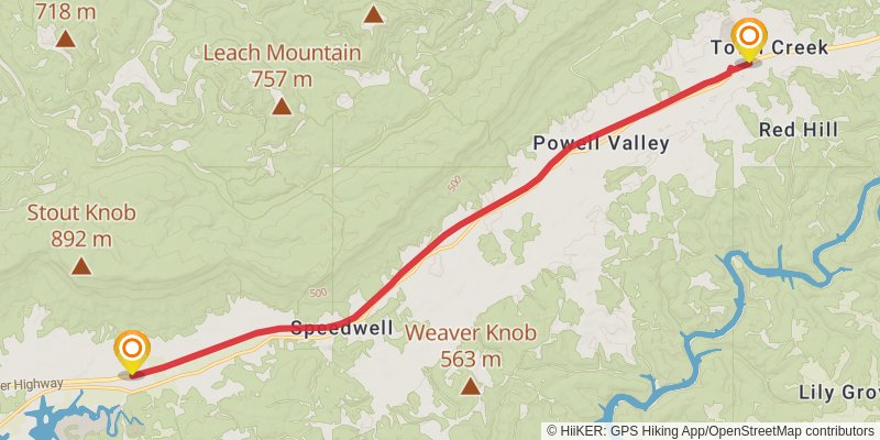
Starting at: Fincastle, Campbell County, 37870
Ending at: Speedwell, Claiborne County, 37870
Distance: 20.1 km
Elevation gain: 301 m
Duration: 04:31:45
View on mapstage 73
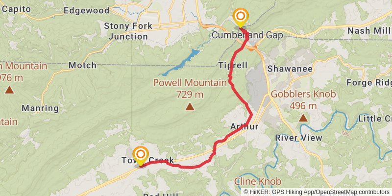
Starting at: Speedwell, Claiborne County, 37870
Ending at: Cumberland Gap, Lee County, 24248
Distance: 16.2 km
Elevation gain: 343 m
Duration: 03:49:14
View on mapstage 74
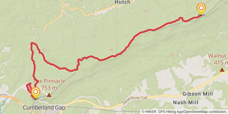
Starting at: Cumberland Gap, Claiborne County, 40965
Ending at: Bell County, 40856
Distance: 17.3 km
Elevation gain: 1041 m
Duration: 05:11:36
View on mapstage 75
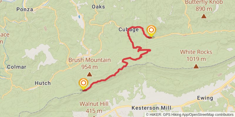
Starting at: Bell County, 40856
Ending at: Miracle, Bell County, 40856
Distance: 18.5 km
Elevation gain: 523 m
Duration: 04:33:40
View on mapstage 76
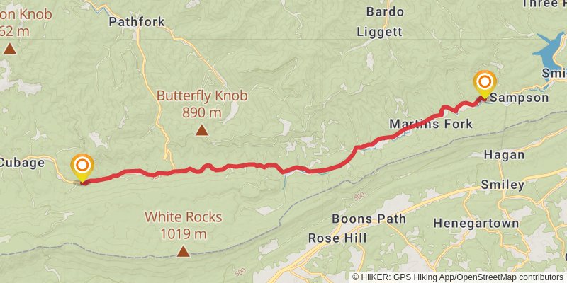
Starting at: Miracle, Miracle, Bell County, 40856
Ending at: Harlan, Harlan County, 40831
Distance: 19.7 km
Elevation gain: 350 m
Duration: 04:30:51
View on mapstage 77
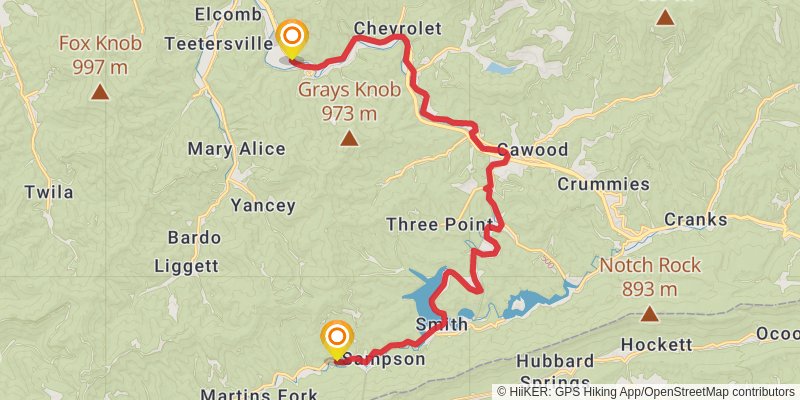
Starting at: Harlan, Harlan County, 40831
Ending at: Harlan, Harlan County, 40831
Distance: 23.6 km
Elevation gain: 412 m
Duration: 05:24:10
View on mapstage 78
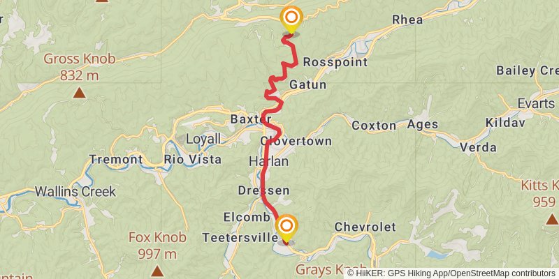
Starting at: Harlan, Harlan County, 40831
Ending at: Harlan, Harlan County, 40806
Distance: 13.5 km
Elevation gain: 562 m
Duration: 03:38:02
View on mapstage 79
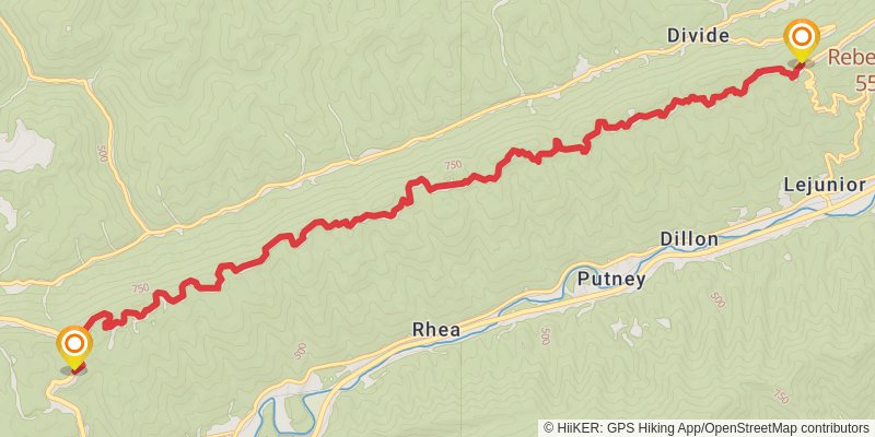
Starting at: Gatun, Harlan, Harlan County, 40806
Ending at: Putney, Harlan County, 40865
Distance: 15.5 km
Elevation gain: 667 m
Duration: 04:12:28
View on mapstage 80
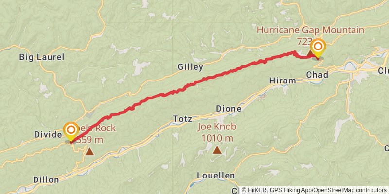
Starting at: Putney, Harlan County, 40865
Ending at: Cumberland, Harlan County, 41819
Distance: 19.4 km
Elevation gain: 706 m
Duration: 05:03:31
View on mapstage 81
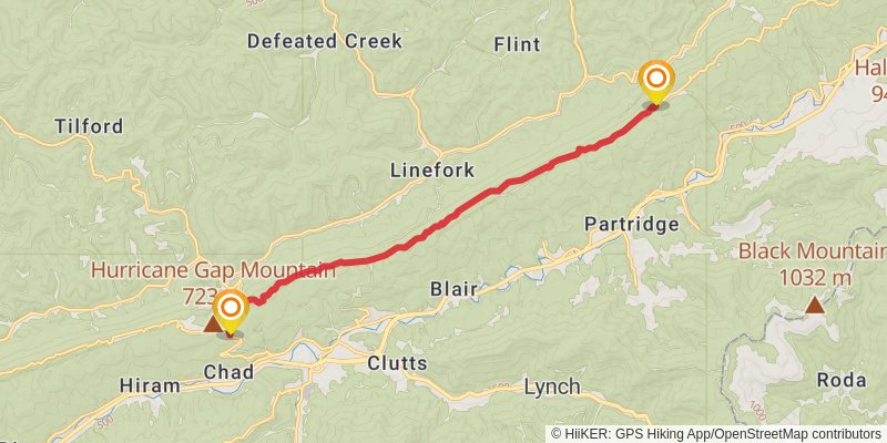
Starting at: Cumberland, Letcher County, 41819
Ending at: Cumberland, Letcher County, 41858
Distance: 14.8 km
Elevation gain: 777 m
Duration: 04:15:18
View on mapstage 82
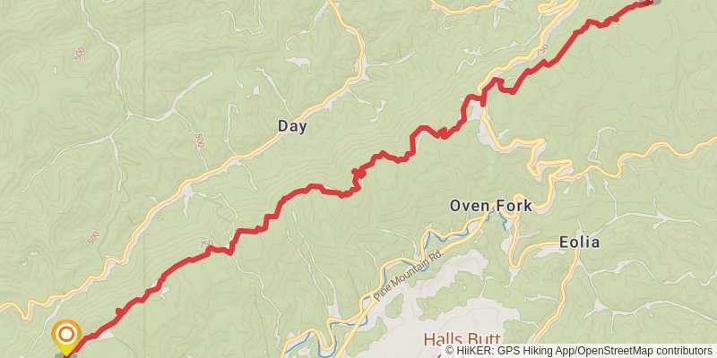
Starting at: Cumberland, Harlan County, 41858
Ending at: Whitesburg, Letcher County, 40826
Distance: 15.6 km
Elevation gain: 839 m
Duration: 04:30:38
View on mapstage 83
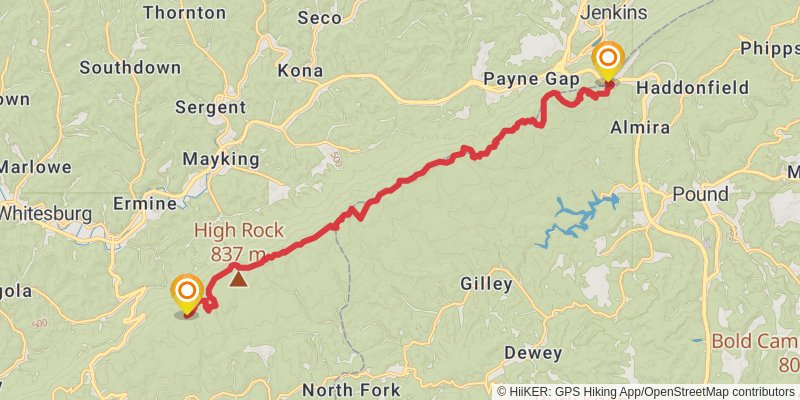
Starting at: Oven Fork, Letcher County, 40826
Ending at: Jenkins, Letcher County, 41537
Distance: 20.5 km
Elevation gain: 1392 m
Duration: 06:25:23
View on mapstage 84
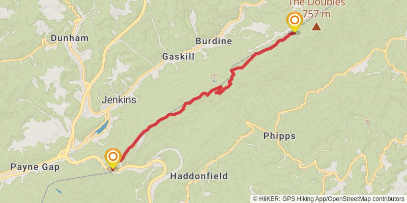
Starting at: Pound, Wise County, 41537
Ending at: Jenkins, Wise County, 24279
Distance: 8.2 km
Elevation gain: 575 m
Duration: 02:36:11
View on mapstage 85
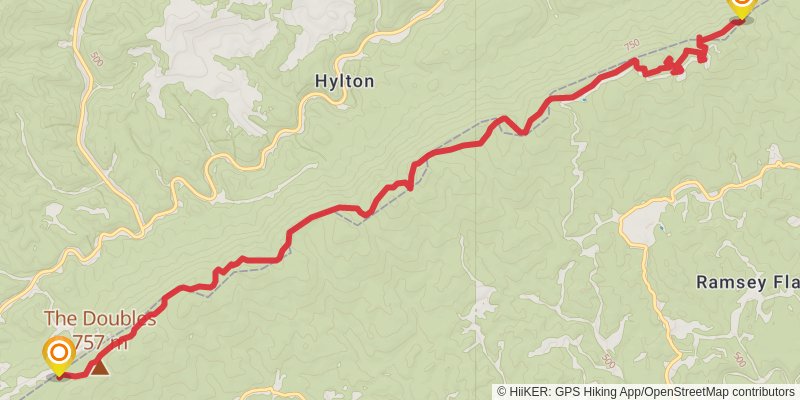
Starting at: Burdine, Jenkins, Dickenson County, 24279
Ending at: Ashcamp, Pike County, 41512
Distance: 15.1 km
Elevation gain: 895 m
Duration: 04:30:10
View on mapstage 86
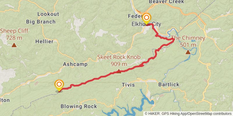
Starting at: Tivis, Dickenson County, 41512
Ending at: Elkhorn City, Pike County, 41522
Distance: 20.2 km
Elevation gain: 1178 m
Duration: 05:59:57
View on mapstage 87
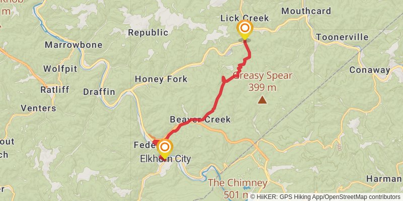
Starting at: Elkhorn City, Pike County, 41522
Ending at: Elkhorn City, Pike County, 41548
Distance: 12.2 km
Elevation gain: 342 m
Duration: 03:00:39
View on mapstage 88
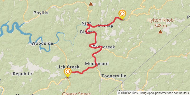
Starting at: Elkhorn City, Pike County, 41548
Ending at: Fedscreek, Pike County, 41524
Distance: 19.7 km
Elevation gain: 345 m
Duration: 04:31:00
View on mapstage 89
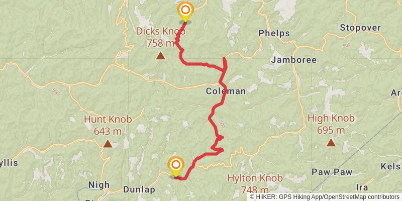
Starting at: Dunlap, Fedscreek, Pike County, 41524
Ending at: Phelps, Pike County, 41558
Distance: 18.0 km
Elevation gain: 543 m
Duration: 04:30:10
View on mapstage 90
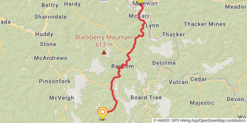
Starting at: Phelps, Pike County, 41558
Ending at: Matewan, Mingo County, 25678
Distance: 16.1 km
Elevation gain: 75 m
Duration: 03:20:52
View on map