EastWest Mapping - Galway and Mayo on HiiKER
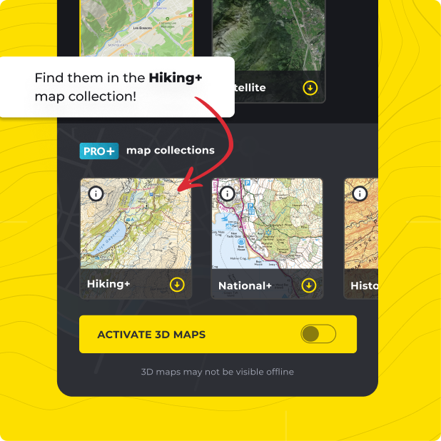
This is a collection of the excellent mapping from EastWest Mapping covering County Galway and County Mayo. Maps include, Wild Nephin, Connemara Mountains, Mweelrea & The Reek East, Achill Island and Clare Island. These beautiful maps are at 1:25000 scale and cover such popular hiking and walking areas as, The 12 bens, Nephin Beg, The Western Way, Achill Island, Croagh Patrick, Mweelrea and many more.
VIEW EASTWEST MAPPING