Download
Preview
Add to list
More
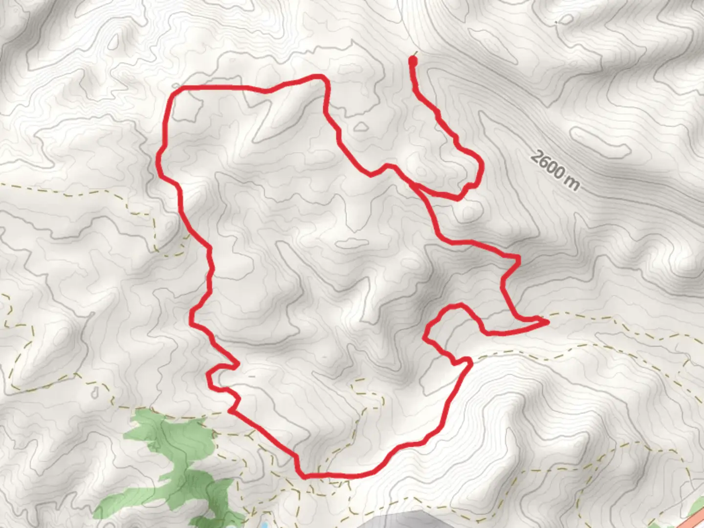
16.2 km
~4 hrs
462 m
Loop
“The Beaver Creek trail offers a scenic, historical 16 km loop with lush flora, wildlife, and panoramic views.”
Starting near Fremont County, Wyoming, the Beaver Creek trail offers a scenic 16 km (approximately 10 miles) loop with an elevation gain of around 400 meters (about 1,312 feet). This medium-difficulty trail is perfect for hikers looking to experience the natural beauty and historical richness of the area.
Getting There
To reach the trailhead, you can drive or use public transport. If driving, head towards the nearest known landmark, the town of Lander, Wyoming. From Lander, take US-287 North for about 20 miles until you reach the trailhead near the Beaver Creek Campground. For those using public transport, the closest bus stop is in Lander, from where you can arrange a taxi or rideshare to the trailhead.
Trail Overview
The trail begins at the Beaver Creek Campground, a well-maintained area with ample parking and basic amenities. As you start your hike, you'll immediately notice the lush greenery and the sound of Beaver Creek flowing nearby. The first 3 km (1.9 miles) are relatively flat, making it a good warm-up stretch.
Flora and Fauna
As you progress, the trail gradually ascends, and you'll encounter a variety of flora, including lodgepole pines, aspens, and wildflowers, especially vibrant in the spring and summer months. Wildlife is abundant; keep an eye out for deer, elk, and even the occasional black bear. Birdwatchers will be delighted by the presence of species like the mountain bluebird and the red-tailed hawk.
Significant Landmarks
Around the 5 km (3.1 miles) mark, you'll come across an old homestead, a relic from the early 1900s when settlers first arrived in the region. This site offers a glimpse into the historical significance of the area and is a great spot for a short break and some photographs.
Elevation Gain
The trail's elevation gain becomes more noticeable after the 6 km (3.7 miles) point. Here, the path starts to wind through a series of switchbacks, offering panoramic views of the surrounding valleys and mountains. The climb is steady but manageable, making it suitable for hikers with moderate experience.
Navigation
For navigation, it's highly recommended to use the HiiKER app, which provides detailed maps and real-time updates. The trail is well-marked, but having a reliable navigation tool can enhance your hiking experience and ensure you stay on track.
Midpoint and Descent
At approximately 8 km (5 miles), you'll reach the highest point of the trail, offering breathtaking views of the Wind River Range. This is an ideal spot for a longer rest and some lunch. From here, the trail begins its descent, looping back towards the starting point. The descent is gradual, passing through dense forest and open meadows, providing a diverse hiking experience.
Final Stretch
The last 3 km (1.9 miles) of the trail are relatively flat and easy, allowing you to cool down as you make your way back to the Beaver Creek Campground. This section follows the creek closely, and the soothing sound of running water accompanies you to the end of your hike.
Historical Significance
The region around Beaver Creek has a rich history, with evidence of Native American presence dating back thousands of years. The trail itself was used by early settlers and trappers, adding a layer of historical intrigue to your hike.
Preparation Tips
Given the medium difficulty of the trail, it's advisable to wear sturdy hiking boots and bring plenty of water, especially during the warmer months. Weather can be unpredictable, so packing a light rain jacket and some extra layers is a good idea. Always check the weather forecast before heading out and let someone know your hiking plans.
The Beaver Creek trail offers a well-rounded hiking experience with its mix of natural beauty, wildlife, and historical landmarks. Whether you're a seasoned hiker or someone looking to explore the great outdoors, this trail has something for everyone.

What to expect?
Activity types
Comments and Reviews
User comments, reviews and discussions about the Beaver Creek, Wyoming.
4.42
average rating out of 5
36 rating(s)