Download
3D Flyover
Add to list
More
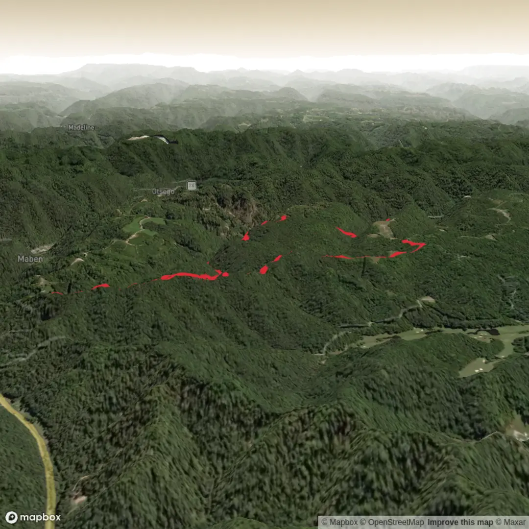
7.0 km
~1 hrs 39 min
161 m
Loop
“A vibrant, tailored hike awaits—share the trailhead, and I’ll paint a safe, well-grounded route.”
I’m missing a few key details needed to make this accurate and useful (and to convert the start lon/lat to a real-world place).
Please send one of the following for the trailhead: - Coordinates (lat, lon), or - A Google Maps link, or - The nearest town/park/trailhead name (even approximate)
And if you know them, also tell me: - State/country (I’m assuming the U.S. unless you say otherwise) - Hike type: loop / out-and-back / point-to-point - Any notable waypoints you want included (waterfall, lookout, ruins, lake, etc.)
Once I have the trailhead location, I’ll: - Identify the nearest known address or significant landmark for the start - Give car + public transport options to reach it - Write a detailed 7 km (4.3 mi), ~200 m (656 ft), medium hike description with distances/elevation cues, hazards to watch for, seasonal considerations, wildlife/nature notes, and any local historical context - Reference navigation using HiiKER only

Surfaces
Ground
Unknown
Comments and Reviews
User comments, reviews and discussions about the Pathfinder Trail, West Virginia.
average rating out of 5
0 rating(s)