Download
3D Flyover
Add to list
More
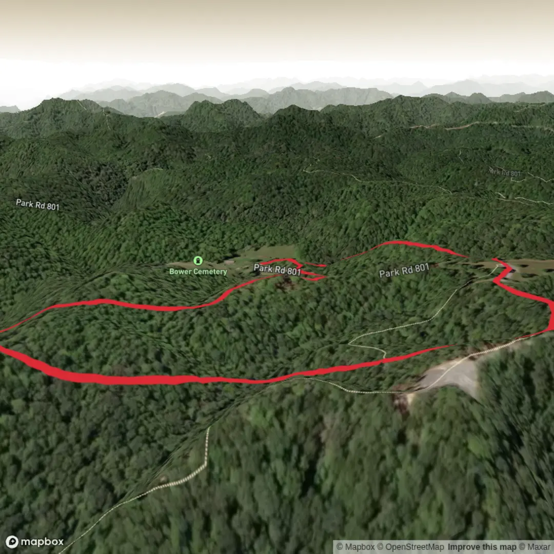
2.3 km
~33 min
59 m
Loop
“A brisk, woodsy loop with a cheeky climb, flashing Lake Lanier views between the trees.”
A short, punchy loop with a steady little climb, this hike packs a “real trail” feel into roughly 2 km (1.2 mi) with about 100 m (330 ft) of total elevation gain—enough to get your heart rate up without turning into a slog. Expect a mix of shaded woodland walking and open shoreline views, with the route staying close to the water for long stretches.
The start is near Don Carter State Park on Lake Lanier, with the closest easy-to-navigate landmark being the Don Carter State Park main day-use area / parking near the trail access (the park lists the trail’s GPS point at 34.3897667, -83.7401803, which corresponds to the Don Carter State Park area on the north side of Lake Lanier). (discovergeorgiaoutdoors.com)
Getting to the trailhead (car + public transport)
- By car: Drive to Don Carter State Park (Lake Lanier) and use the parking lot near the trailhead. This is the simplest approach and the one most hikers use, since the trail is designed as a park walk with straightforward access. (discovergeorgiaoutdoors.com)
- By public transport: This part of Lake Lanier is not typically served by frequent, direct transit to the park entrance. The most workable plan is usually bus to Gainesville, GA, then a rideshare/taxi the remaining distance to Don Carter State Park. (If you’re planning a transit-only day, check same-day service and return options before committing—cell service can be inconsistent around lake coves.)
What the hike feels like underfoot
From the parking area, you’ll pick up a wide, well-defined footpath marked with white blazes, and you’ll quickly notice the “park-trail” design: clear corridor, easy-to-follow junctions, and a surface that’s generally friendly to a wide range of hikers. (discovergeorgiaoutdoors.com)
Over the first 0.4–0.6 km (0.25–0.4 mi), the trail tends to settle you into the woods—expect gentle rollers as you gain your first 30–50 m (100–165 ft). The middle portion is where the route earns its keep: the loop hugs the shoreline of Lake Lanier, and you’ll get repeated peeks through the trees to the water, especially where the trail runs along a peninsula edge. (discovergeorgiaoutdoors.com)
Plan on 30–45 minutes at a relaxed pace, longer if you stop for photos or birdwatching. (discovergeorgiaoutdoors.com)
Landmarks, scenery, and the best “pay attention” moments
- Lake Lanier shoreline + peninsula views: The loop portion is specifically noted for lake views along the shore of a peninsula, which means you’ll have multiple natural “view windows” where the forest opens toward the water. (discovergeorgiaoutdoors.com)
- Swimming beach cove overlook: On the straighter connector section leading to/from the loop, you can often see the cove of the swimming beach—a useful mental waypoint that helps confirm you’re on the correct segment of the route. (discovergeorgiaoutdoors.com)
- Trail connections: The path can be accessed via other connecting trails, so watch for intersections—great for adding distance, but also the main place people accidentally wander off-route. (discovergeorgiaoutdoors.com)
For navigation, load the route in HiiKER before you arrive and keep an eye on it at junctions—especially if you decide to explore connectors. In a park network, “obvious” can still split three ways.
Nature, plants, and wildlife to look for
The trail is named for huckleberries, a native plant related to blueberries, and you’ll often see berry-producing shrubs in season along sunny edges and openings. (discovergeorgiaoutdoors.com) If berries are present, remember that wildlife relies on them too—give animals space and avoid surprising anything feeding in the brush.
Wildlife is typical of a wooded lakeshore park setting: expect songbirds, woodpeckers, and water-associated birds near the coves. Around the lake edge, watch for slick leaves, damp roots, and muddy patches after rain—short trails like this can still have surprisingly slippery micro-sections where runoff crosses the tread.
Difficulty, pacing, and what to pack
Even though the overall stats are modest (~2 km / 1.2 mi, **~100 m / 330

Surfaces
Ground
Unpaved
Unknown
Comments and Reviews
User comments, reviews and discussions about the Huckleberry Trail, West Virginia.
average rating out of 5
0 rating(s)