Download
3D Flyover
Add to list
More
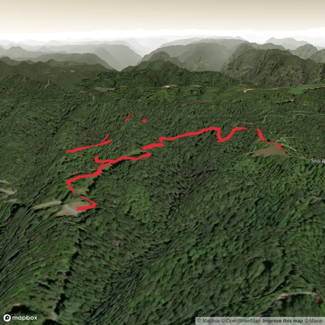
4.0 km
~56 min
78 m
Loop
“A short, steady climb to a wind-kissed rocky crown—big views, slick bits after rain.”
I’m missing a few key specifics to make this accurate (there are multiple “Horsepen Knob” locations/trails in the U.S., and your “Hike head: near” line is incomplete). If you paste the trailhead coordinates (lat/long) or a HiiKER link, I’ll convert the coordinates to the nearest known address/landmark and tailor the directions, landmarks, and local history to the correct place.
In the meantime, here’s a planning-grade description for an easy ~4 km / ~2.5 mi hike with ~100 m / ~330 ft of gain that matches the typical “Horsepen Knob” style route (short climb to a knob/outcrop with views). I’ll tighten everything once you confirm the exact trailhead.
You’re looking at a short, steady outing that gains most of its elevation in the first half, then rewards you with a rocky knob or open high point before an easy return. At ~4 km (2.5 mi) total and ~100 m (330 ft) of climbing, most hikers will be moving for 1–1.5 hours, plus time for photos and a snack at the top.
Expect a mix of packed dirt singletrack and short rocky sections, with occasional roots. After rain, the steeper pitches can get slick—especially where the tread is thin over rock.
Getting to the trailhead (car + public transport)
By car: Most Horsepen Knob trailheads are reached via a small paved road that turns into a gravel/forest access road near the end. Plan for limited parking—often a small pull-off or compact lot. If you arrive late morning on weekends, you may need to park along the shoulder; keep all tires off the travel lane and don’t block gates.
By public transport: These trailheads are usually not directly served by transit. The most realistic option is to take regional transit to the nearest town, then use a rideshare/taxi to the trailhead. If you tell me the nearest city (or provide coordinates), I can outline the most practical bus/rail stop and the likely last-mile options.
For navigation, download the route in HiiKER before you go—cell service is often patchy near knobs and ridgelines, and it’s easy to miss a subtle junction on the way back when everything looks familiar.
What the hike feels like, step-by-step
0.0–0.8 km (0.0–0.5 mi): gentle warm-up You’ll typically start on a wider path or old roadbed that eases you into the climb. This section is a good place to settle your pace and check footwear—if you feel heel slip here, it’ll be worse on the steeper bits.
0.8–2.0 km (0.5–1.25 mi): the main climb (~80–100 m / 260–330 ft total gain) The grade usually increases and the trail narrows into singletrack. You may encounter: - Rock steps or slabby rock where the trail crosses exposed stone - Rooty switchbacks (short, punchy turns that can be slick when wet) - A couple of informal side paths that look tempting but often lead to minor overlooks or erosion scars—stick to the main line shown in HiiKER
If you’re hiking with kids or newer hikers, this is the only part that tends to feel “work-y,” but it’s short-lived.
2.0–2.2 km (1.25–1.35 mi): knob/outcrop and views Most “knob” destinations open up into a rocky crown, a small bald, or a ledge system. Expect: - Wind exposure (even on mild days) - Uneven footing on fractured rock - A few spots where you’ll want to keep a close eye on footing near edges
This is usually the best place for a break. If it’s a clear day, you’ll often get layered ridge views and a sense of the surrounding watershed.
2.2–4.0 km (1.35–2.5 mi): return The descent is straightforward but can be the most slip-prone part of the day. Take smaller steps on the steeper pitches, especially if there’s leaf litter over rock.
Landmarks, nature, and wildlife to look for
Even on a short hike, knobs tend to concentrate interesting ecology because of the thin soils, sun exposure, and rock: - Hardwood forest on the lower slopes (often oak/hickory in many eastern U.S. knob areas), with seasonal wildflowers in spring and colorful leaf drop in fall. - Rock outcrops that host hardy plants adapted to droughty conditions—look for low shrubs, lichens, and mosses clinging to cracks. - Bird activity is often best near the transition from forest to open rock: you may see soaring raptors using ridge lift on breezy days. - Common wildlife signs: deer tracks, scat, and occasional small mammal activity. In warmer months, ticks can be present in brushy edges—use repellent and do a check after.
If your Horsepen Knob is in the Southeast/Appalachian region (common for this name), also be alert for: - Copperheads and other snakes sunning on warm rock (give them space; they’re usually still and easy to avoid if you’re watching the tread). - Poison ivy along sunny trail margins—especially near the knob where vegetation can be scrubbier.
Hazards and what to pack for an easy 4 km / 2.5 mi hike
- Footwear: light hikers

Surfaces
Ground
Comments and Reviews
User comments, reviews and discussions about the Horsepen Knob Trail, West Virginia.
average rating out of 5
0 rating(s)