Download
3D Flyover
Add to list
More
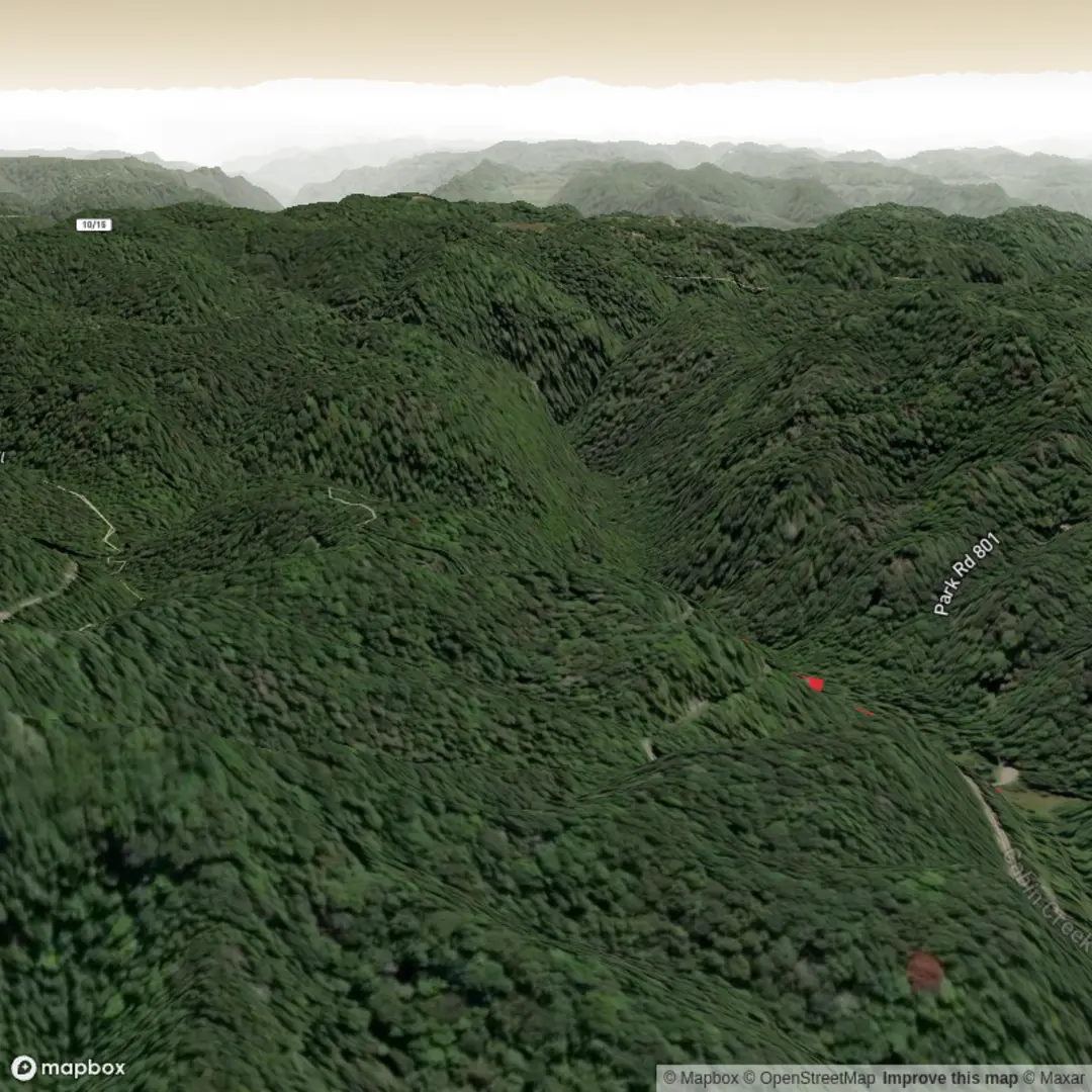
2.5 km
~32 min
29 m
Loop
“Share the trailhead, and I’ll paint a gentle Falls stroll with vivid details and cautions.”
I’m missing a few key pieces of information needed to write an accurate, trail-specific description (there are many “Falls Trail” hikes, and the start point is currently blank). Share any one of the items below and I’ll produce the full 2 km / ~1.2 mi easy, mostly flat hike plan with landmarks, wildlife, hazards, and local history.
- Start location (required): a latitude/longitude, a trailhead parking lot name, a park name, or a Google/Apple Maps link
- Hike type: out-and-back, loop, or point-to-point (if you don’t know, I can infer it from the map/route)
- If you have it: a static map image of the route (optional)
Once you send the lon/lat, I’ll convert it to the nearest known address or major landmark and include: - How to get to the trailhead by car (parking, typical access roads) and public transport (nearest stop + walking connection) - Turn-by-turn expectations with approximate distances in km and miles, and elevation in metres and feet - Notable features (waterfalls/overlooks/bridges), typical terrain underfoot, and what to watch for (slick rock, spray zones, roots, seasonal flooding) - Nature and wildlife you’re likely to encounter in that specific area - Any historical/cultural context tied to the park/region - Navigation guidance using HiiKER only
Send the trailhead coordinates or a link and I’ll write it.

Surfaces
Unknown
Ground
Comments and Reviews
User comments, reviews and discussions about the Falls Trail, West Virginia.
average rating out of 5
0 rating(s)