Download
3D Flyover
Add to list
More
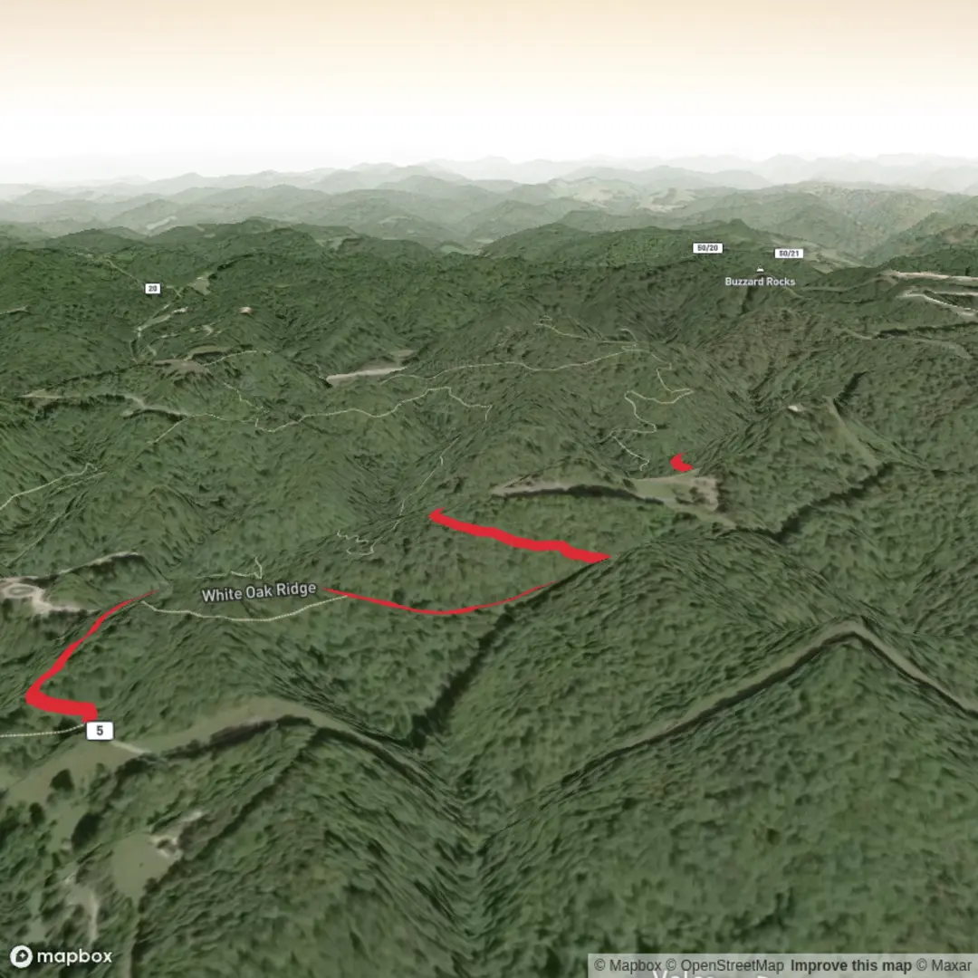
6.0 km
~1 hrs 24 min
121 m
Out and Back
“Share the trailhead details, and I’ll turn White Oak Ridge into a grounded, vivid hike story.”
I’m missing a few key pieces of information needed to describe the correct “White Oak Ridge” hike and to convert the start location into a nearby address/landmark.
Please send one of the following so I can write the full 6 km / ~100 m (3.7 mi / ~330 ft) medium hike description with landmarks, wildlife, hazards, history, and detailed logistics:
1) Start point coordinates (lon,lat) for the trailhead (and end point if different), or
2) A HiiKER link, or
3) The park/region + nearest town/state (e.g., “White Oak Ridge Trail, ___ State Park, near ___, Tennessee”).
Also confirm these two fields (they’re currently blank):
- Hike head (trailhead) near: (coordinates or place name)
- Hike type: loop / out-and-back / point-to-point
Once you share that, I’ll: - Convert the lon/lat to the nearest known address or prominent landmark (e.g., a trailhead parking lot, visitor center, road junction). - Give turn-by-turn style expectations with distance + elevation in km/mi and m/ft. - Include how to get there by car and public transport (as feasible for that location). - Note seasonal conditions, water availability, wildlife, trail surface, and what to watch out for, using HiiKER as the navigation reference.

Surfaces
Unpaved
Unknown
Comments and Reviews
User comments, reviews and discussions about the White Oak Ridge, West Virginia.
average rating out of 5
0 rating(s)