Download
Preview
Add to list
More
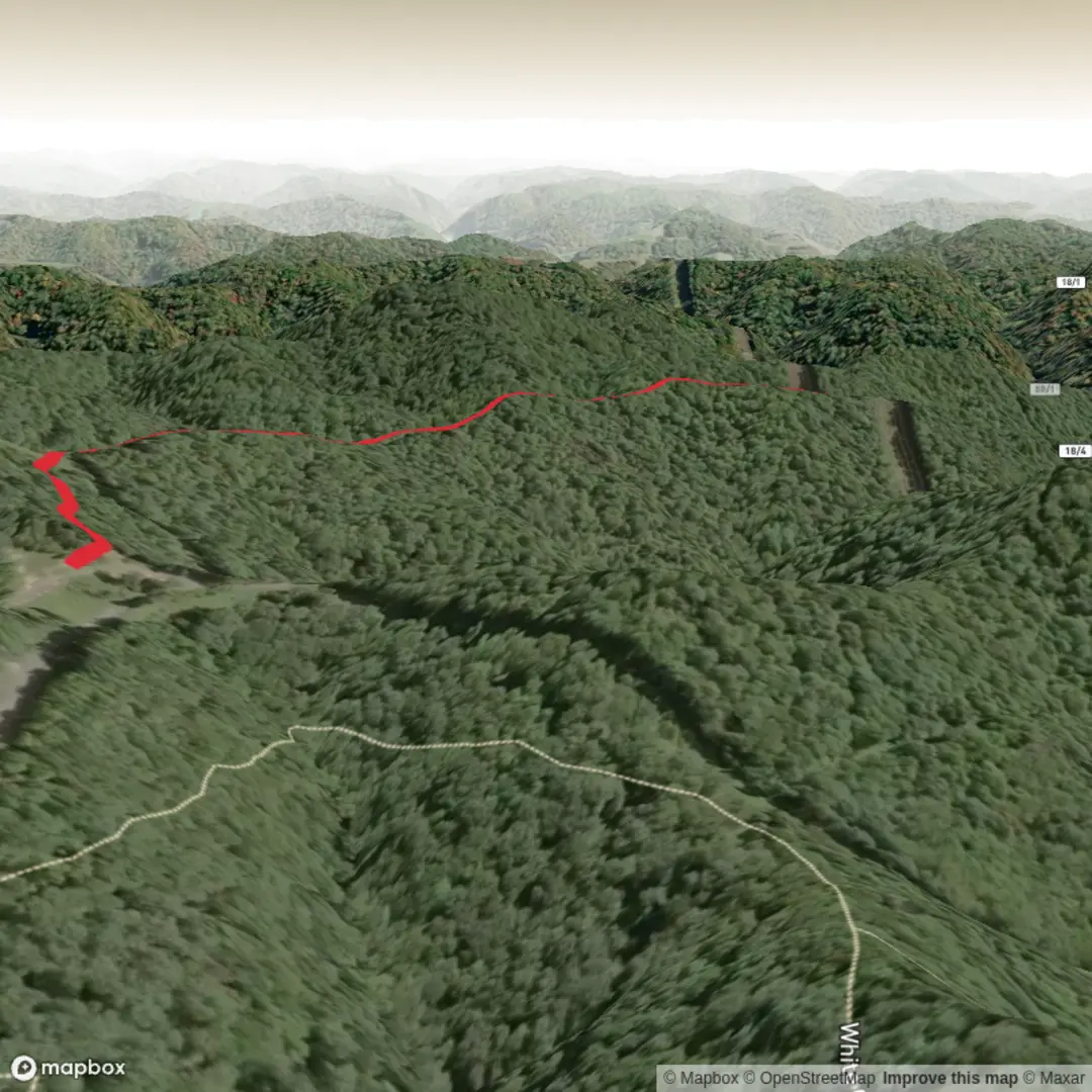
2.8 km
~35 min
18 m
Loop
“A gentle, nearly flat wander—once you share the trailhead—shaped by care for accuracy.”
I’m missing the key location details needed to write this accurately. “Hike head: near” is blank, and there are no coordinates to convert to a nearby address/landmark—so I can’t describe access, landmarks, wildlife, hazards, or local history without guessing.
Send one of the following and I’ll produce the full hike description exactly in the style you requested (with km + miles, metres + feet, HiiKER for navigation, and a nearest address/landmark for any lon/lat):
1) Trailhead coordinates (preferred): lat, lon (and optionally the end point if it’s not a loop)
2) A nearby place name: park/trailhead name + town/state (e.g., “Sky Trail, near ___ Park, __, __”)
3) A map link (HiiKER link is ideal)
4) If you have them: route type (out-and-back/loop/point-to-point) and surface (paved path/gravel/boardwalk/sand)
Also confirm:
- Is the elevation gain truly ~0 m (~0 ft) (flat), or just “minimal”?
- Any constraints: dogs allowed? stroller/wheelchair friendly?

Comments and Reviews
User comments, reviews and discussions about the Sky Trail, West Virginia.
average rating out of 5
0 rating(s)