
Download
3D Flyover
Add to list
More
2.4 km
~31 min
33 m
Loop
“A gentle, level nature stroll—watch birds, wetlands, and history, while minding slick boards and ticks.”
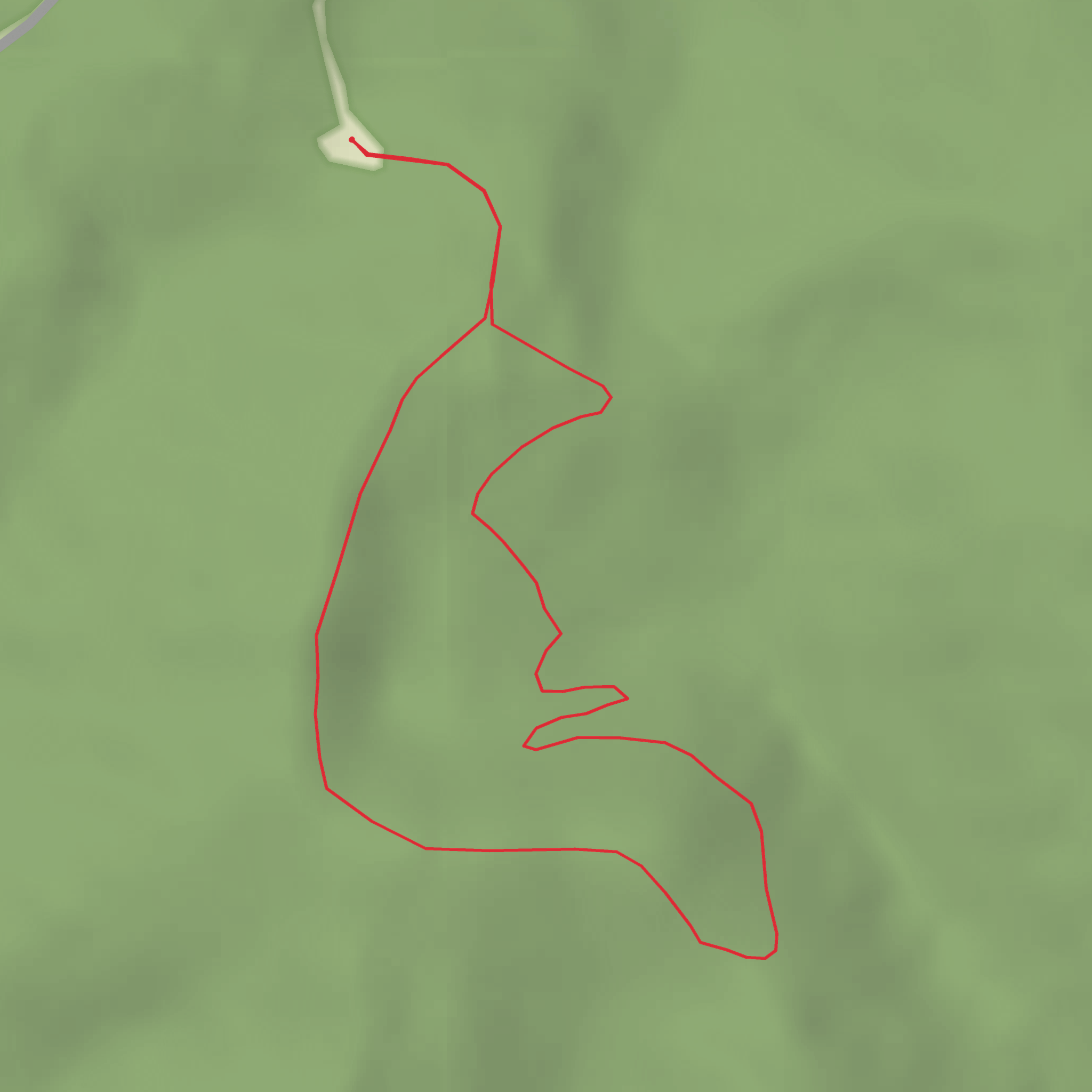
Plan on a short, flat out-and-back or small-loop style walk of about 2 km (1.2 miles) with essentially 0 m (0 ft) of elevation gain—more of a nature stroll than a “hike,” and ideal if you want an easy leg-stretcher, a quick birding walk, or a low-effort family outing.
Because “Pettigrew Trail” is used in a few different places in the U.S. (including areas in North Carolina, Virginia, and even a mapped “Pettigrew Trail” label in South Dakota), I can’t reliably convert your start location to the nearest address/landmark yet—the “Hike head: near” field is blank. If you share either a HiiKER link, coordinates, or the nearest town/park, I’ll pin the exact trailhead to the nearest known address/landmark and tailor the directions and on-trail landmarks precisely.
What the walk is like (terrain, footing, and pacing)
Expect level ground throughout, with the “difficulty” coming more from surface conditions than from climbing. On a 2 km (1.2 mi) easy trail like this, the most common underfoot scenarios are: - Packed dirt / pine needles / leaf litter: comfortable, but can hide roots. - Gravel or old roadbed: easy walking, sometimes a bit loose at the edges. - Boardwalk or short bridges (common in wetter coastal-plain or bottomland settings): great for accessibility, but can be slick when damp.
A typical pace (including stops) is 30–60 minutes round trip depending on how much you pause for wildlife, photos, or reading any interpretive signs.
Landmarks, nature, and wildlife to watch for
Without the exact state/park confirmed, the safest way to plan is to assume this trail highlights local habitat features rather than big elevation viewpoints. On short, flat trails named for local families/places, you’ll often encounter: - Edge habitat (where woods meet open areas): excellent for songbirds and butterflies. - Wetland margins (if near a lake/river/swamp): look for wading birds, turtles, frogs, and seasonal wildflowers. - Mature trees: older stands often have more cavities and deadwood—prime habitat for woodpeckers and owls.
What to look out for: - Ticks and biting insects in warm months—use repellent and do a tick check after. - Poison ivy along sunny edges and trail borders. - Standing water / mud after rain if the area is low-lying; waterproof shoes help even on “easy” trails. - Snakes are usually avoidant but may bask on warm paths—watch where you step, especially near logs and sunny openings.
Navigation and on-trail awareness (keep it simple)
Even on a short route, it’s worth having the trail loaded in HiiKER before you arrive so you can confirm: - where the official start is (parking lots can have multiple spurs), - whether the route is a true loop or an out-and-back, - and where any short connectors or side paths go.
On easy, flat trails, the most common navigation mistake is accidentally following a wider maintenance track or an inviting side path for a few minutes before realizing it doesn’t match your intended line.
Historical context (what this name often signals)
“Pettigrew” is a name tied to multiple U.S. places and families, and in some regions (notably parts of the coastal Southeast) it can connect to plantation-era history, family cemeteries, and long-settled landscapes. If your Pettigrew Trail is the one associated with Pettigrew State Park in North Carolina, the broader area is known for deep human history (including ancient watercraft finds in the region) and nearby plantation history preserved at sites like Somerset Place. (ncparks.gov)
If your trail is instead tied to a Wildlife Management Area (such as “Pettigrew” in Virginia), expect a landscape managed for habitat—often a mix of woods, fields, and wet areas—with strong wildlife-viewing potential. (dwr.virginia.gov)
Getting to the start (car and public transport—how to plan before you go)
Until you confirm which Pettigrew Trail you mean, use this approach: - By car: search the exact trailhead name in your maps app and cross-check the pin against the trail line in HiiKER so you don’t end up at a similarly named road
Comments and Reviews
User comments, reviews and discussions about the Pettigrew Trail, West Virginia.
average rating out of 5
0 rating(s)
