Download
3D Preview
Add to list
More
113.3 km
~4 days
612 m
Multi-Day
“Embark on the historic and scenic North Bend Rail Trail for a captivating 70-mile adventure.”
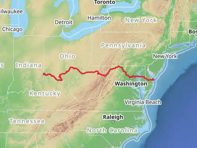
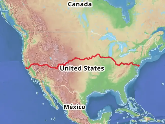
Spanning approximately 70 miles (around 113 kilometers) with an elevation gain of around 600 meters (roughly 2000 feet), the North Bend Rail Trail offers a unique blend of scenic beauty, historical significance, and a moderately challenging trek. The trailhead is conveniently located near Wood County, West Virginia, making it accessible for hikers looking to embark on this point-to-point journey.
Getting to the Trailhead
To reach the starting point of the North Bend Rail Trail, hikers can drive to the vicinity of Parkersburg in Wood County. For those relying on public transportation, options may include regional bus services that connect to Parkersburg, where you can then use local taxi services or ride-sharing options to reach the trailhead. It's advisable to check the latest schedules and transportation services for the most current information.
Trail Experience
As you set out on the trail, you'll be walking along a path that was once a bustling railroad, part of the Parkersburg Branch of the Baltimore and Ohio Railroad. The trail is characterized by its crushed stone surface, making it suitable for both hikers and cyclists. The relatively gentle grade and straightaways are a legacy of its railroad past, ensuring a hike that is not overly strenuous but still provides a satisfying challenge due to its length.
Historical Landmarks and Nature
One of the highlights of the North Bend Rail Trail is the series of tunnels and bridges that speak to the area's rich engineering history. Notably, the trail features 13 tunnels, with the "Silver Run Tunnel" and the "Eaton Tunnel" being among the most famous. The Silver Run Tunnel is rumored to be haunted by a lady in white, adding an element of folklore to your hike.
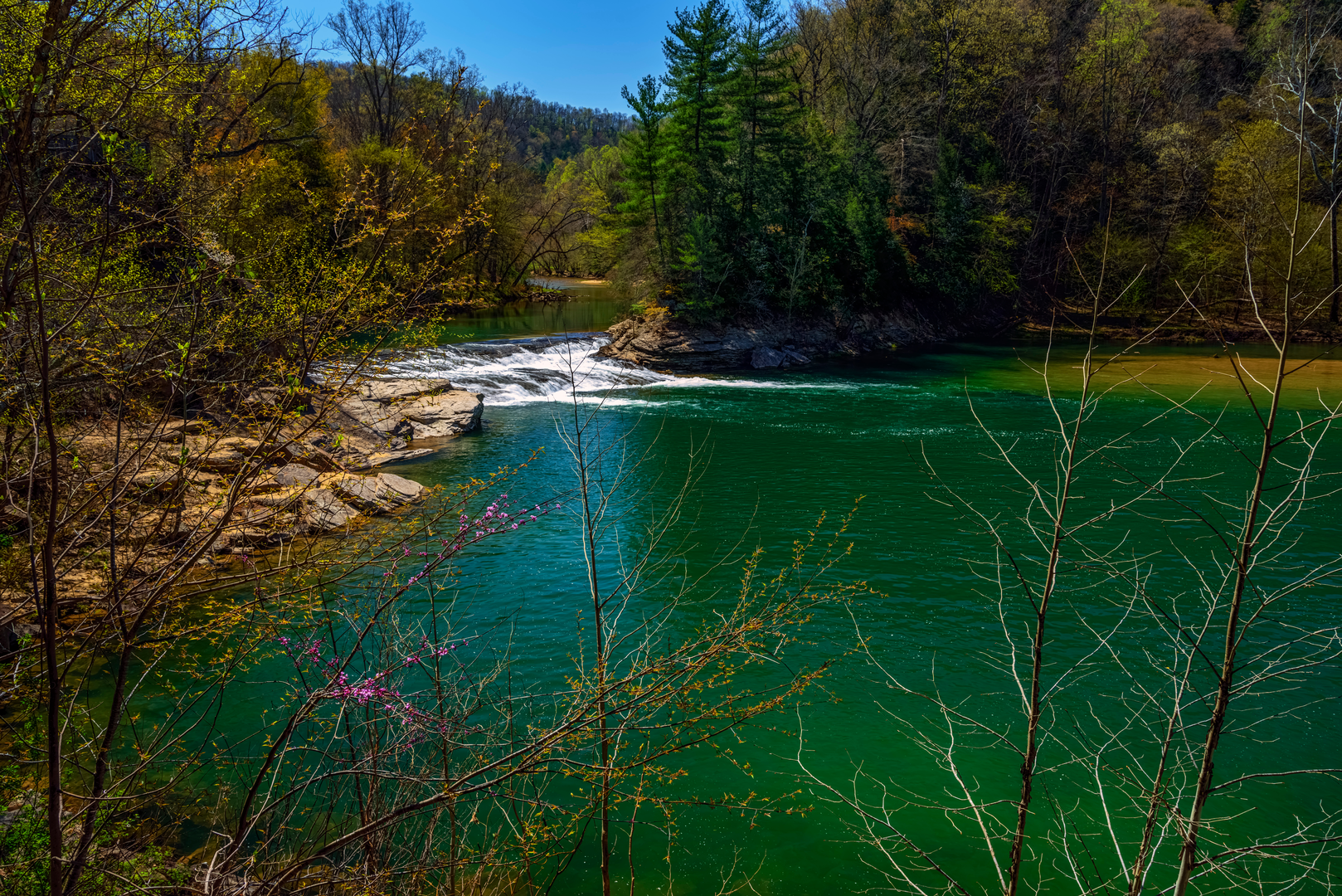
The trail also meanders through picturesque landscapes, including dense woodlands, peaceful streams, and rolling countryside. This diversity of ecosystems means that hikers can expect to see a variety of wildlife, from white-tailed deer to numerous bird species, including the pileated woodpecker and red-tailed hawk.
Navigation and Preparation
For navigation along the North Bend Rail Trail, HiiKER is an excellent tool to keep you on track. It's wise to download the trail map on your device before setting out, as cell service can be spotty in more remote sections of the trail.
Preparation is key for a hike of this length. Ensure you have enough water, as there are limited sources along the route. Additionally, pack high-energy snacks and a first-aid kit. Given the trail's length, consider planning for overnight stays in the towns along the route if you're not aiming to complete it in a single push.
Seasonal Considerations
The trail can be enjoyed year-round, but spring and fall offer the most pleasant temperatures and vibrant scenery. Summers can be hot and humid, so if hiking during this season, start early in the day to avoid the heat. Winters are cold, and snow can cover the trail, making it a different kind of adventure, suitable for those prepared for winter hiking conditions.
Remember, the North Bend Rail Trail is a journey through both nature and time, offering a unique window into the history of West Virginia while providing a serene outdoor experience. Whether you're a history buff, a nature enthusiast, or simply looking for a long-distance hike, this trail is sure to leave a lasting impression.

What to expect?
Activity types
Frequently asked questions
How long is the North Bend Rail Trail and how many days does it take to hike?
The North Bend Rail Trail is 113.35 kilometers, or about 70.4 miles, end to end. Because the grade is gentle and the route is rated easy, many hikers split it into 3 to 5 days, depending on daily mileage and whether they stop in trail towns such as Cairo, Pennsboro, West Union, or Salem.
Where does the North Bend Rail Trail start and finish in West Virginia?
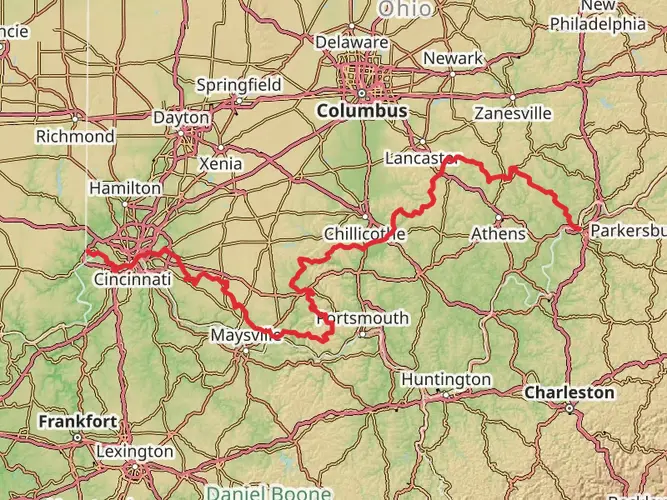
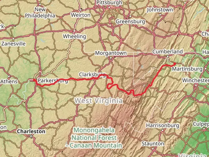
The North Bend Rail Trail runs across north-central West Virginia from near Interstate 77 and Parkersburg at the western end to Wolf Summit near Clarksburg at the eastern end. Along the way it passes through Wood, Ritchie, Doddridge, and Harrison counties and goes through or near Cairo, Ellenboro, Pennsboro, West Union, and Salem.
What is the surface like on the North Bend Rail Trail and is it an easy walk?
The North Bend Rail Trail follows a former Baltimore and Ohio Railroad corridor, so the grade is generally mild and steady rather than steep. The trail is known for its crushed-stone rail-trail surface, and with only about 612 meters of total elevation gain over 113.35 kilometers, it is widely considered one of the easier long-distance walks in West Virginia.
How many tunnels and bridges are on the North Bend Rail Trail?
The North Bend Rail Trail is known for its railroad engineering, with 13 tunnels along the corridor and 10 of them passable today, plus 36 bridges and trestles. One of the best-known features is the Silver Run Tunnel near Cairo, and the tunnel-and-bridge sequence is a major reason the trail stands out from other long rail trails in the state.
Is the North Bend Rail Trail dog friendly?
Dogs are allowed on the North Bend Rail Trail, but they should be kept under control and handled carefully around other trail users, bridges, and dark tunnel sections. The long crushed-stone route, easy grade, and multiple access points make it manageable for strong trail dogs, especially on shorter out-and-back sections rather than the full 113.35-kilometer crossing.
Where can you park for the North Bend Rail Trail?
Parking is available at multiple access points along the North Bend Rail Trail, including the Parkersburg area on the western end and Wolf Summit on the eastern end. Additional trail access and parking are available near communities such as Smithburg and other towns along the corridor, which makes it practical to plan shorter day hikes or shuttle-supported multi-day walks.
What towns and landmarks do you pass on the North Bend Rail Trail?
The North Bend Rail Trail passes through or near several small West Virginia communities, including Cairo, Ellenboro, Pennsboro, West Union, and Salem. It also runs beside North Bend State Park and follows the historic Parkersburg Branch of the Baltimore and Ohio Railroad, so the route combines long wooded stretches with tunnels, bridges, and railroad-era landmarks.
Comments and Reviews
User comments, reviews and discussions about the North Bend Rail Trail, West Virginia.
4.68
average rating out of 5
19 rating(s)