Download
3D Flyover
Add to list
More
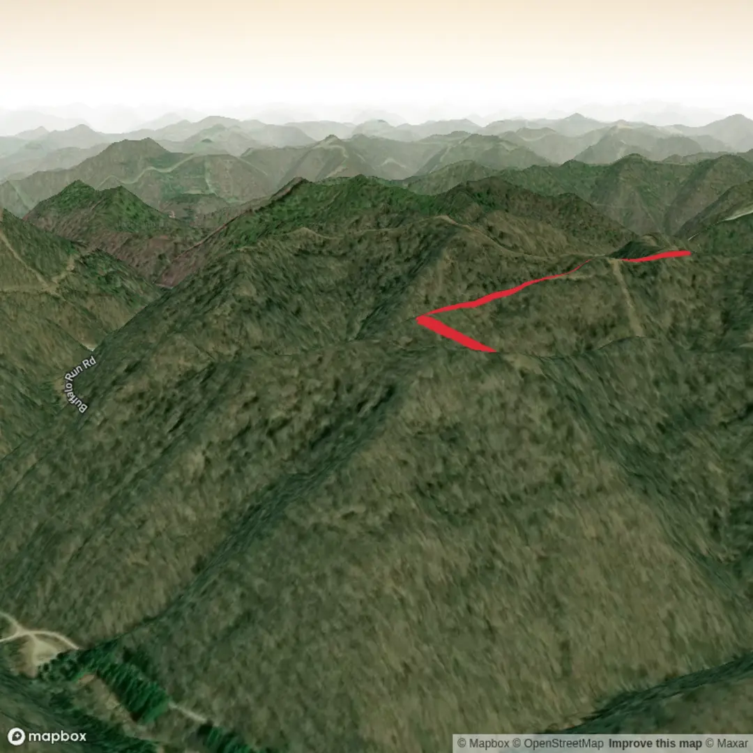
4.5 km
~1 hrs 8 min
145 m
Out and Back
“A short, spirited woodland climb—creekside hush, rooty pitches, and a gentler return through dappled canopy.”
I’m missing a few key specifics to make this accurate (there are multiple “Nettles Run” trails in the U.S., and your “Hike head: near” line is incomplete). If you paste either a HiiKER link, GPS coordinates (lat/long) for the trailhead, or the state + nearest town/park, I can convert the location to the nearest known address/landmark and tailor the route description, access, and local history.
In the meantime, here’s a planning-grade description that matches your stated stats (≈4 km / 2.5 mi, ≈200 m / 656 ft gain) and what a typical “medium” Nettles Run-style route tends to involve—once you confirm the location, I’ll replace the placeholders with exact landmarks, turns, and local details.
You’re looking at a short, punchy climb that packs most of its effort into a compact distance: about 4 km (2.5 mi) with roughly 200 m (656 ft) of elevation gain. Expect a steady uphill grade early or mid-hike, followed by a more forgiving return where you can open your stride and enjoy the forest structure and any creekside sections that “Run” trails often follow.
Getting to the trailhead (car + public transport)
By car: Plan to arrive with enough time to park legally and avoid blocking gates or narrow shoulders. Many trailheads for short forest loops are at small pull-offs, game lands lots, or park access roads rather than large visitor centers. If you share the lat/long, I’ll translate it to the nearest known address or prominent landmark (for example, a named park entrance, a road junction, or a signed lot).
By public transport: In most regions where short woodland “run” trails exist, transit can get you to the nearest town, but the last few miles/kilometers often require a rideshare or taxi. If you tell me the nearest town/city, I can outline the most realistic transit approach (bus/rail to town → rideshare to trailhead) and approximate last-mile distance.
What the terrain feels like
Even at only 2.5 miles (4 km), 656 ft (200 m) of gain means you’ll notice the climb. The tread is commonly a mix of: - Packed dirt and leaf litter under deciduous canopy - Short rocky steps or rooty pitches on steeper grades - Occasional narrow bench-cut sidehill where footing matters
If the route crosses or parallels a small stream (common on “Run” trails), expect muddy pockets after rain and slick rocks at any informal crossings. In shoulder seasons, leaf cover can hide ankle-twisting rocks and roots—watch foot placement on descents.
Navigation and pacing
Because short trails often have multiple intersecting spurs (old logging tracks, social paths, or connector trails), it’s worth having the route loaded in HiiKER before you start. Cell service can be inconsistent in hollows and along creek drainages, so download the map for offline use if that’s available for your area.
A sensible pacing plan for a medium effort: - Uphill segment: slower, steady cadence; take short breathers before the steepest pitch rather than during it - Return/descending segment: controlled steps—most slips happen when hikers relax too early
Seasonal conditions and what to look out for
- Spring: High water in drainages, soft tread, and more blowdowns. This is also peak time for ticks in much of the U.S.—use repellent and do a full check after.
- Summer: Humidity and heat can make a short climb feel harder than the numbers suggest. Carry water even for 4 km/2.5 mi—especially if the climb is exposed.
- Fall: Best traction and views through thinning canopy, but wet leaves on rock can be as slick as ice.
- Winter (where applicable): A 200 m/656 ft climb can turn into a slow grind if packed snow or freeze-thaw creates hard, slick crust. Microspikes may be appropriate depending on local conditions.
Nature, wildlife, and plants you may encounter
Without the exact state/region I can’t responsibly name specific species, but on many eastern and midwestern “run” corridors you’ll typically see: - Mixed hardwood forest (oak/maple/beech associations in many areas) - Riparian vegetation near water (ferns, mosses, and moisture-loving understory) - Songbirds and woodpeckers; more activity in morning hours - White-tailed deer are common in many regions; you may also see signs like tracks and browse lines
If your Nettles Run is in bear country, treat it like bear country: keep food sealed, don’t leave packs unattended, and make noise around blind corners—especially near water where ambient sound masks footsteps.
Landmarks and “trail moments” (typical for this profile)
On a 4 km / 200 m route, the memorable points are usually: - A creek/run crossing or a short stretch paralleling water - A steeper pitch where the trail climbs away from the drainage - A bench or natural overlook (sometimes subtle) where the grade eases and the forest opens slightly - Evidence of past land use: old roadbeds, stone piles, cut stumps, or remnants of logging
If you provide the trailhead coordinates or a HiiKER link, I’ll call out the real, on-the-ground landmarks in order (e.g., “at 0.8

Comments and Reviews
User comments, reviews and discussions about the Nettles Run Trail, West Virginia.
average rating out of 5
0 rating(s)