Download
3D Flyover
Add to list
More
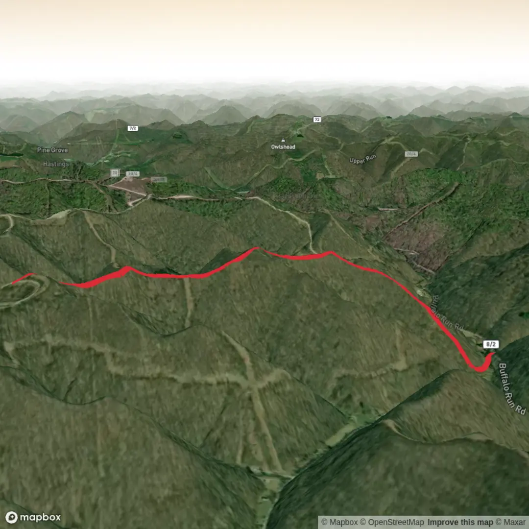
5.1 km
~1 hrs 31 min
303 m
Out and Back
“A vivid hike plan awaits—share the trailhead details, and we’ll map it thoughtfully and safely.”
I’m missing a few key pieces of information needed to make this accurate and safe to plan from—especially the trailhead location. “Hike head: near” is incomplete, and “Laurel Patch Trail” exists in more than one place.
Send any one of the following and I’ll turn it into a full, detailed hike description (with km/miles + m/ft, landmarks, hazards, wildlife, history, and how to get there by car/transit), and I’ll convert coordinates to the nearest known address/landmark:
1) Trailhead coordinates (lat, lon), or
2) A HiiKER link to the route, or
3) The park/forest + state/country (e.g., “near Hot Springs, NC” or “near Gatlinburg, TN”), or
4) A screenshot/static map of the route.
Also confirm these two details so I match what you want:
- Hike type: out-and-back, loop, or point-to-point?
- Trailhead access: do you want the closest parking lot name or the closest street address as the “nearest known address/landmark”?
Once you provide the trailhead location, I’ll write the description exactly in the format you requested (no “Trail Description:” label, at least one mid-section sub-heading, and navigation references to HiiKER only).

Comments and Reviews
User comments, reviews and discussions about the Laurel Patch Trail, West Virginia.
average rating out of 5
0 rating(s)