Download
3D Flyover
Add to list
More
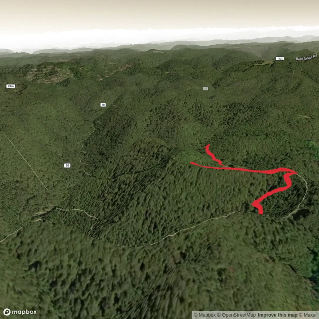
4.0 km
~1 hrs 11 min
231 m
Point-to-Point
“Share your start point and region, and we’ll paint a Tramontane hike into a vivid, grounded plan.”
I’m missing a few key pieces needed to write this accurately (and to convert the start coordinates into a real-world place).
Send either:
1) the start lon/lat for “Hike head: near …” (example format: -0.12345, 51.50123), or
2) the nearest town/parking area/trailhead name you mean.
Also tell me: - Country/region (there are multiple places that use “Tramontane/Tramuntana/Tramontane” in trail names) - Hike type: loop, out-and-back, or point-to-point - If you have it: GPX link/route line or a map screenshot (optional but helps a lot)
Once I have that, I’ll produce a full planning-ready description for a ~4 km / 2.5 mi hike with ~200 m / 656 ft gain, including: - terrain/footing, steep sections, and what to watch for - landmarks, ecology/wildlife, and any local history - how to reach the start by car and public transport - navigation notes using HiiKER only

Surfaces
Ground
Asphalt
Unknown
Comments and Reviews
User comments, reviews and discussions about the Tramontane Trail, West Virginia.
average rating out of 5
0 rating(s)