Download
3D Flyover
Add to list
More
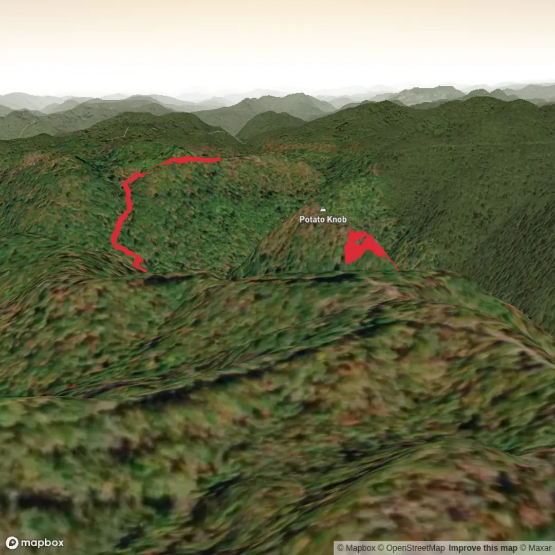
7.0 km
~2 hrs 9 min
449 m
Out and Back
“Share the trailhead details, and we’ll shape a vivid, planning-ready Potato Knob adventure.”
I’m missing a few key pieces of information needed to describe the right “Potato Knob Trail” and to convert the start location into a nearby landmark/address.
Please send one of the following (whatever you have):
1) the start point coordinates (lat, lon) for the trailhead, or
2) a HiiKER link, or
3) the park/region + nearest town/state/country (e.g., “near Asheville, NC” or “near Bright, Victoria”).
Also confirm these two items (even if it’s “unknown”):
- Hike head: near … (your message cuts off after “near”)
- Hike type: out-and-back, loop, or point-to-point?
Once I have that, I’ll produce a full planning-ready description for ~7 km / 4.3 mi with ~500 m / 1,640 ft gain, including: access by car/public transport, what the terrain is like, key landmarks, typical wildlife/seasonal hazards, and any local historical context—using HiiKER for navigation references.

Surfaces
Ground
Unknown
Unpaved
Comments and Reviews
User comments, reviews and discussions about the Potato Knob Trail, West Virginia.
average rating out of 5
0 rating(s)